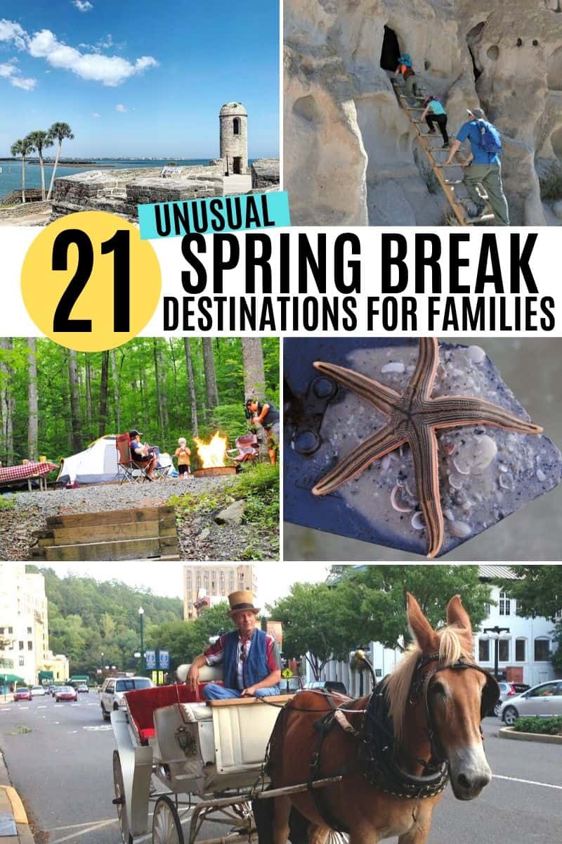
21+ unique and unusual spring break destinations for families, mostly in the USA. Cheaper ideas, amazing locations, and unforgettable travel adventures!
Every year February starts to ravel away, March gets ever closer, and I get this intense hankering to travel somewhere new. Spring break road trip ideas, trips, and thoughts of family vacations begin to bob around in my head.
It’s like a craving, but it’s not for food. Rather it’s a craving to get outside, get away from the everyday norm, to travel, and go explore something with my family. It’s like we’re breaking out of winter and longing to get back out there.
But my family and I aren’t really into party scenes. Instead we really enjoy flying under the radar, enjoying a little peace and quiet at off the beaten path gems, but at the same time adventure and fun for all ages.
All this hankering for a real vacation gave me motivation to create a list of unique spring break destinations and spring break ideas!
21+ Unusual Spring Break Destinations for Families
21+ unique and unusual spring break destinations for families, mostly in the USA. Cheaper ideas, amazing locations, and unforgettable travel adventures!
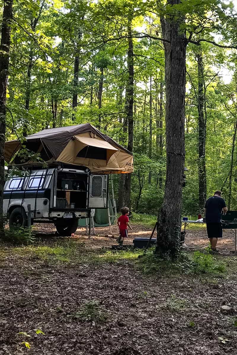
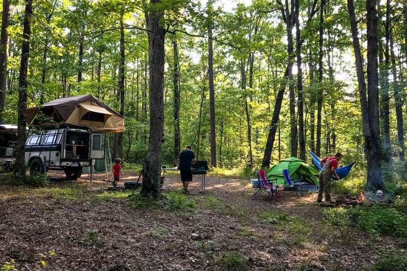
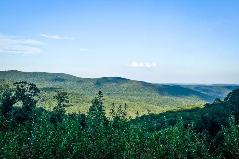
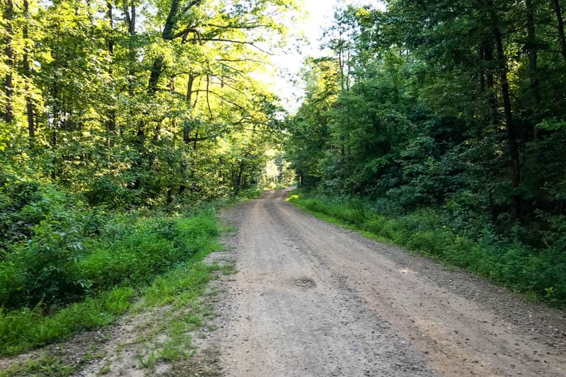
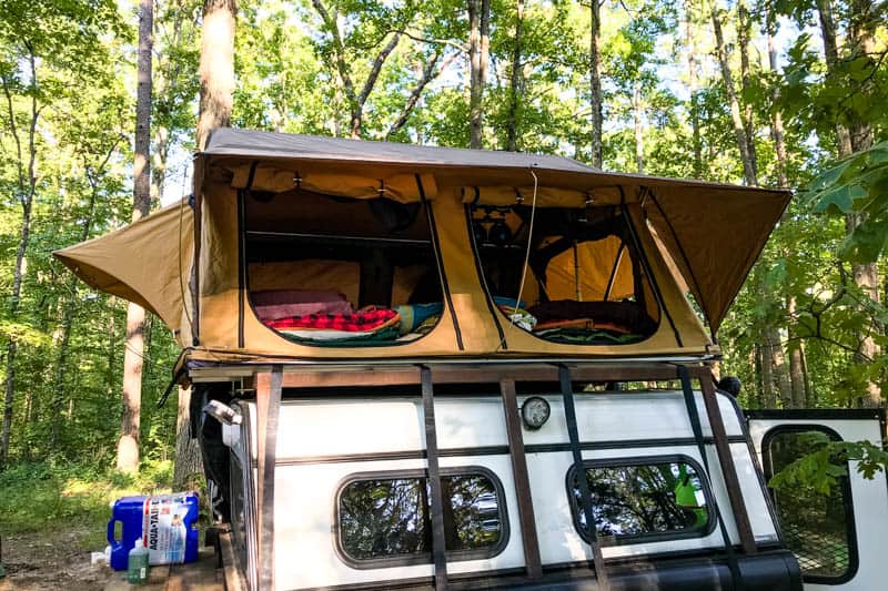
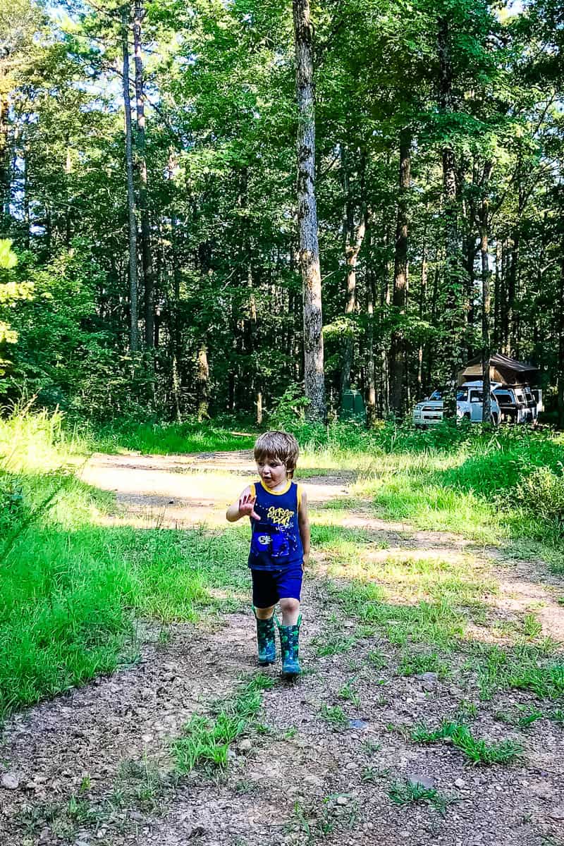
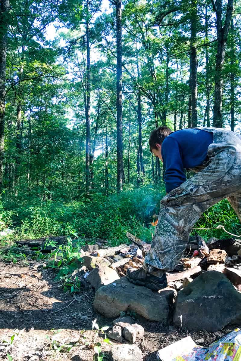
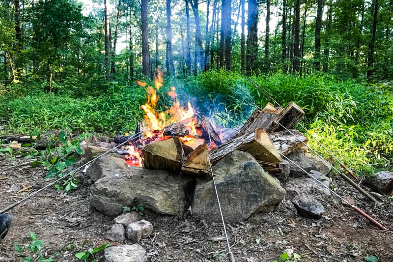
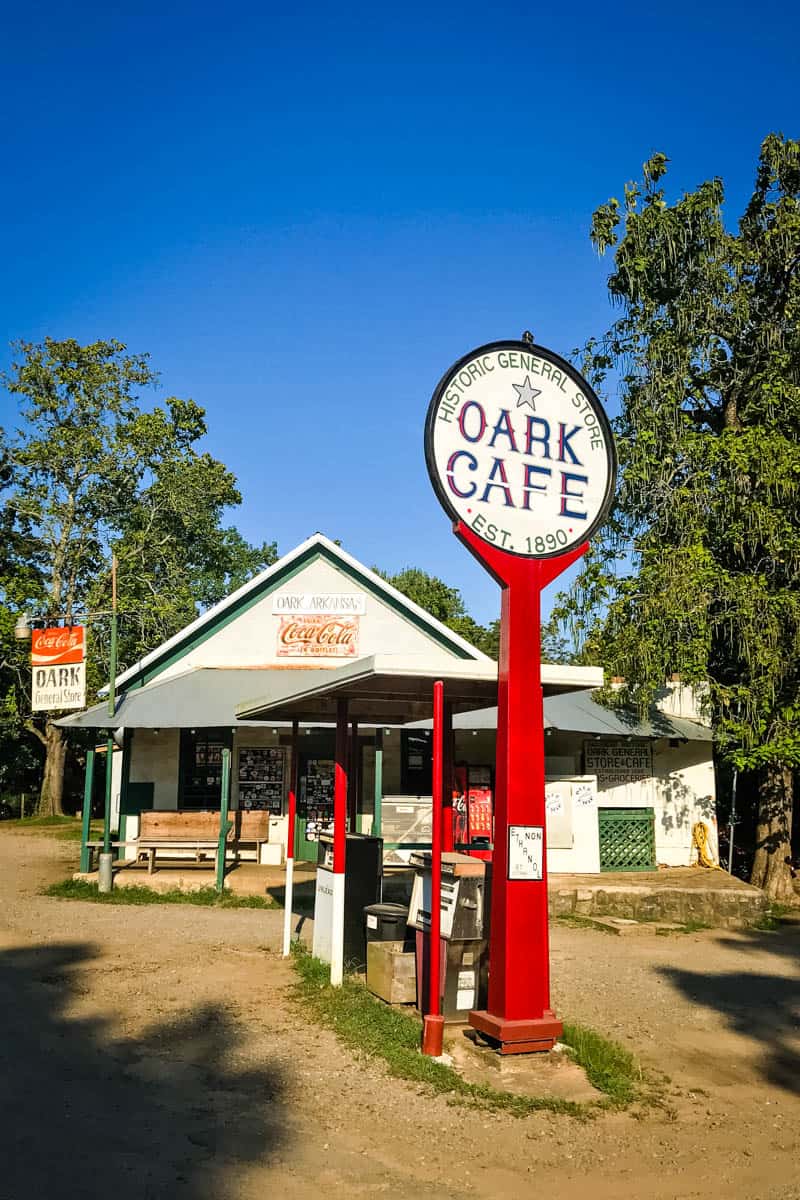
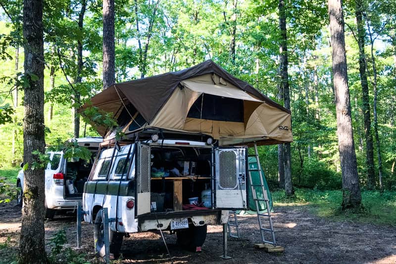
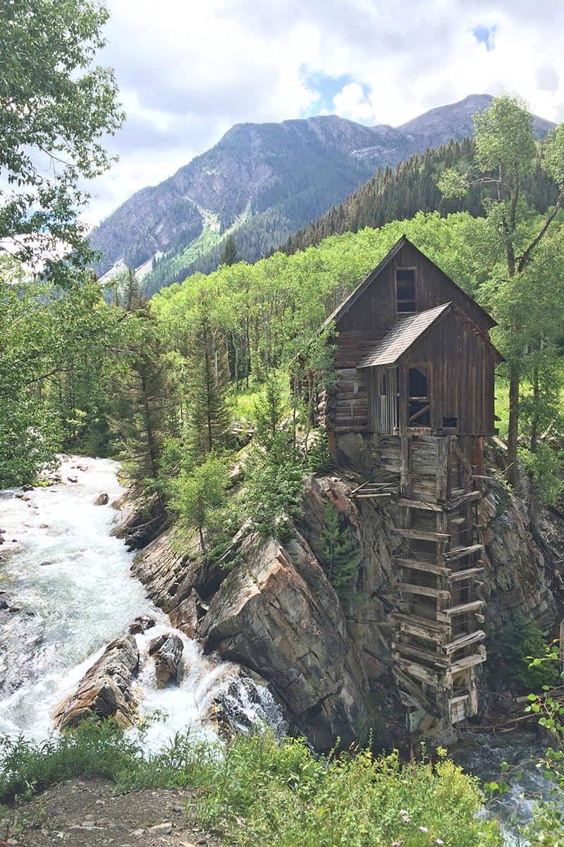
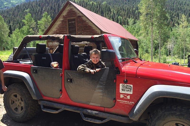
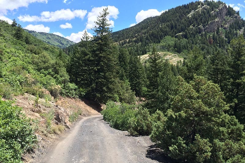
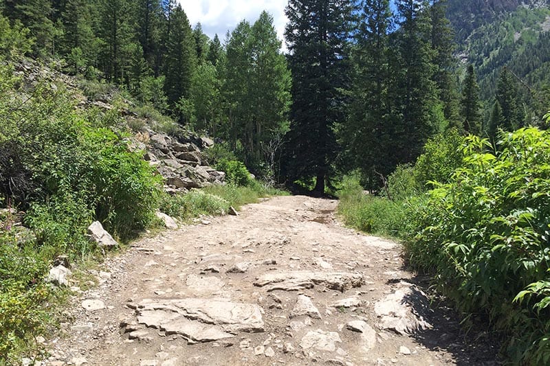
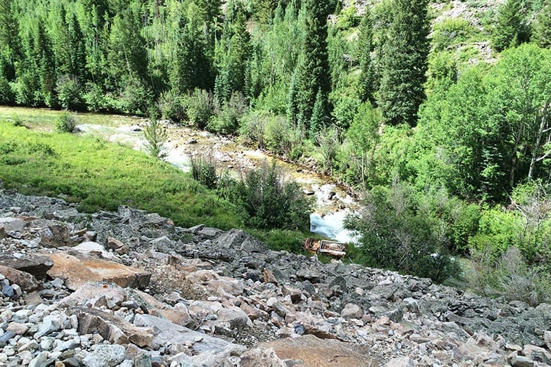
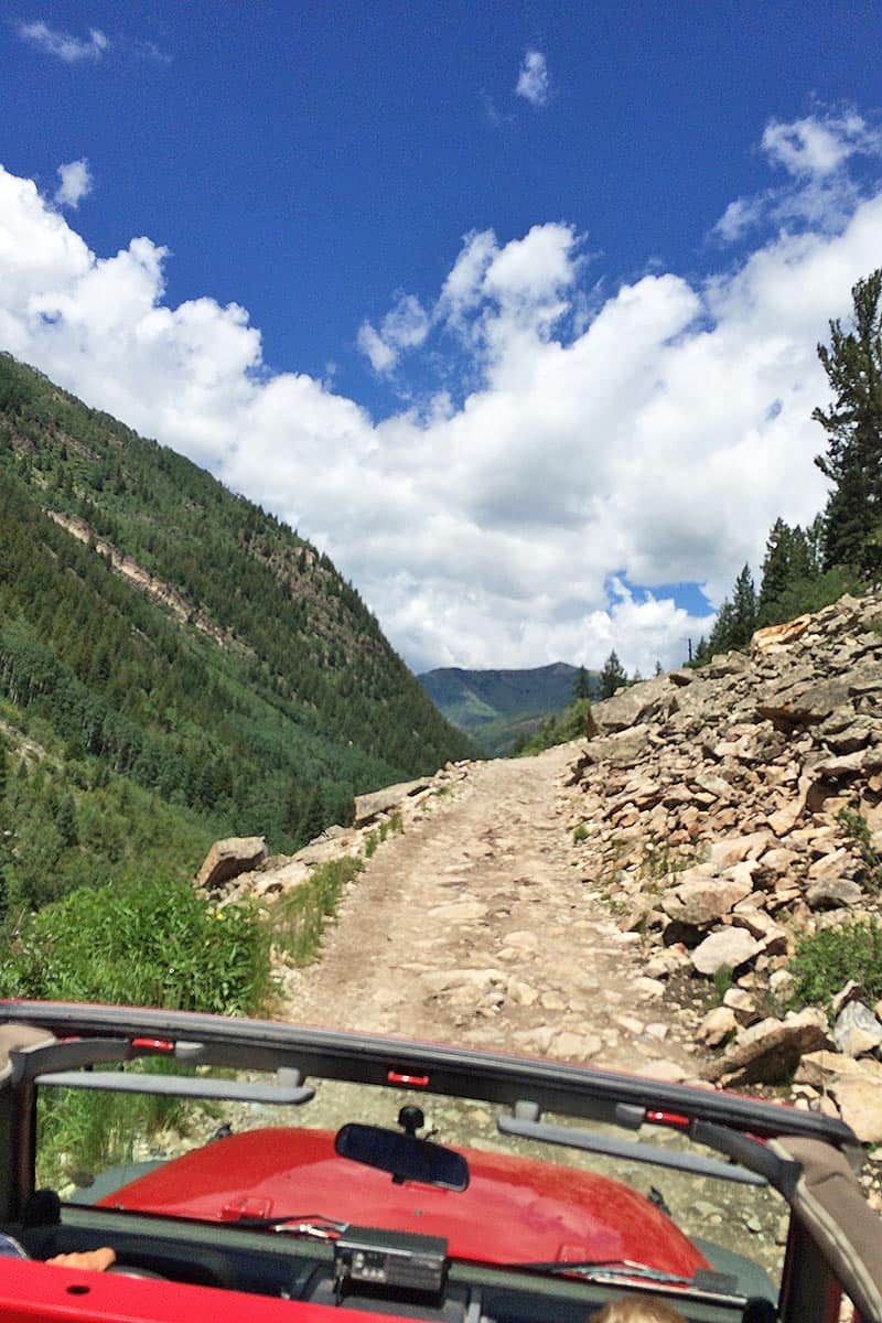
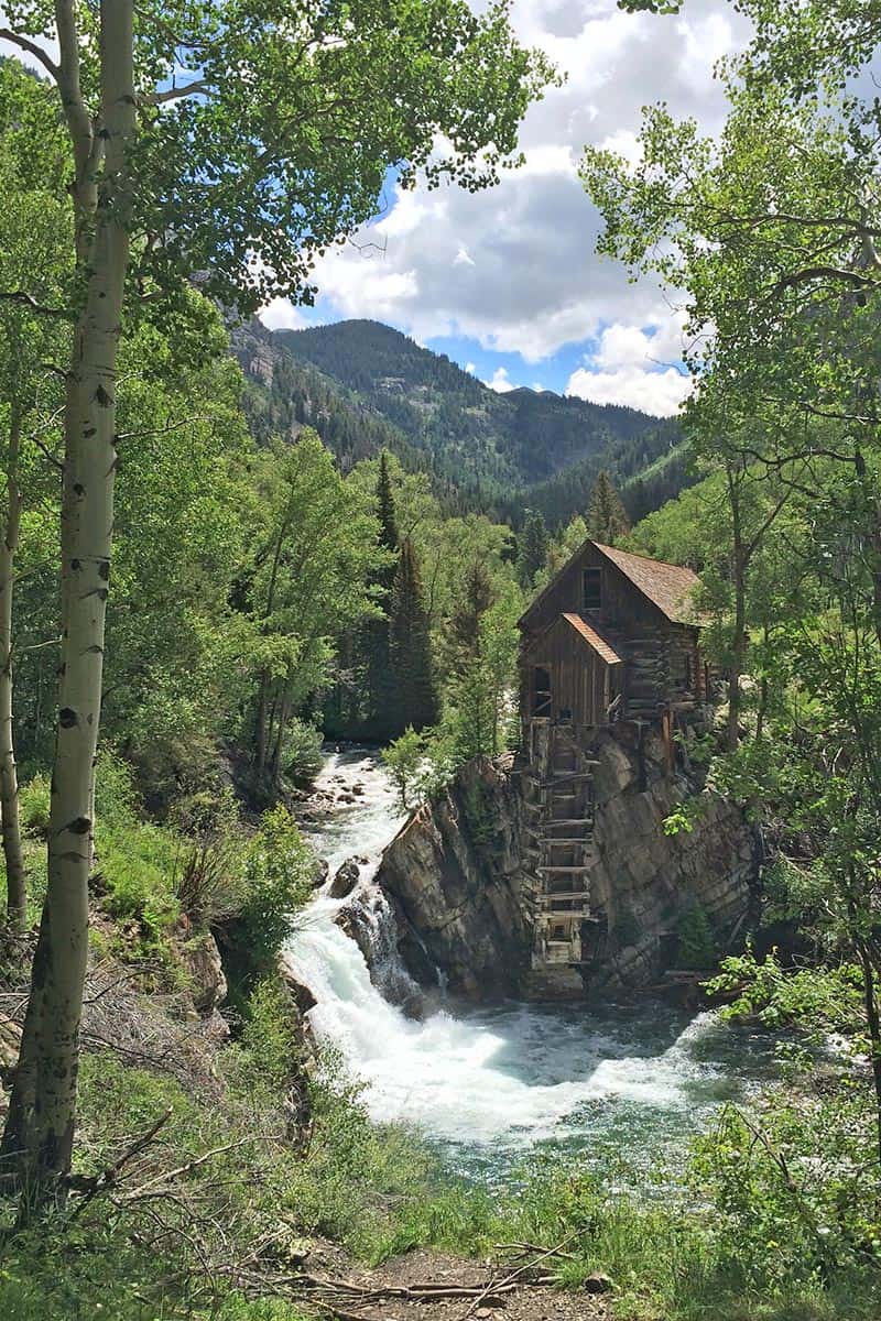
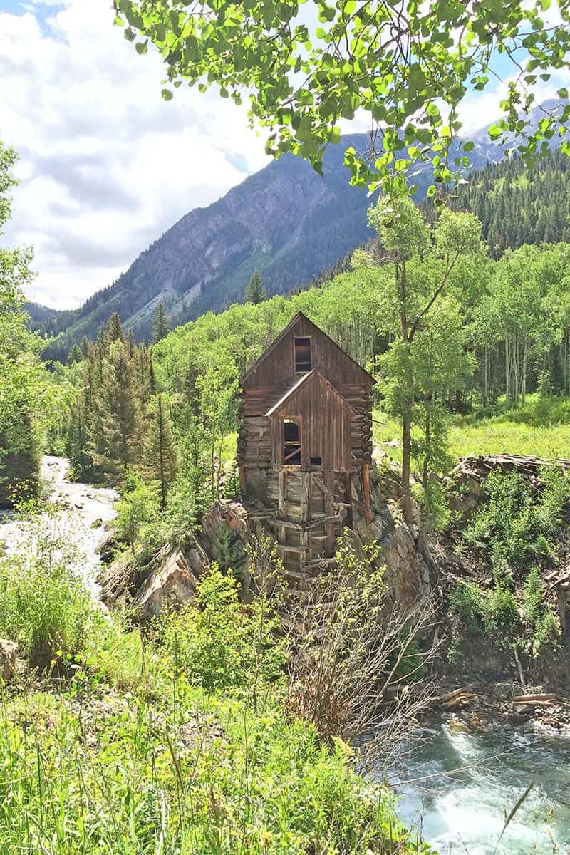
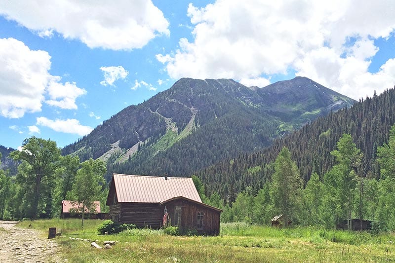
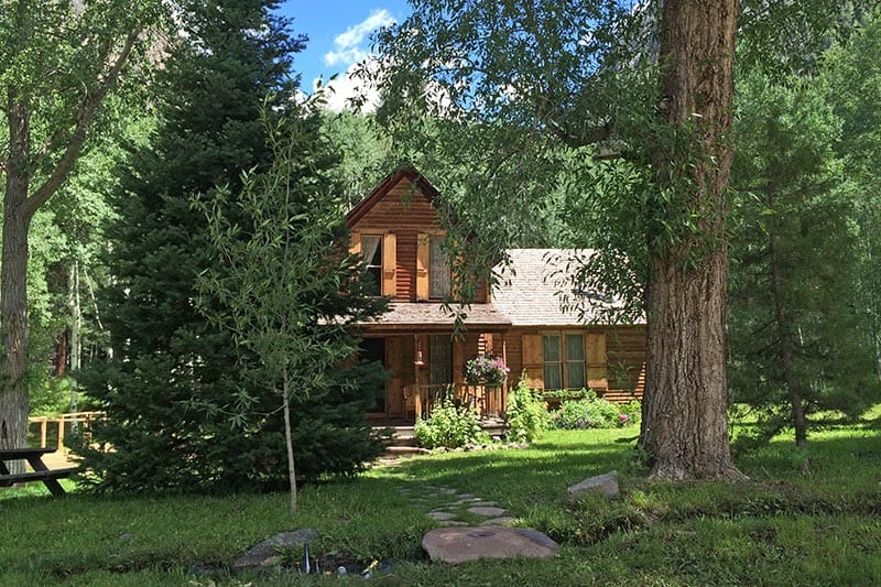
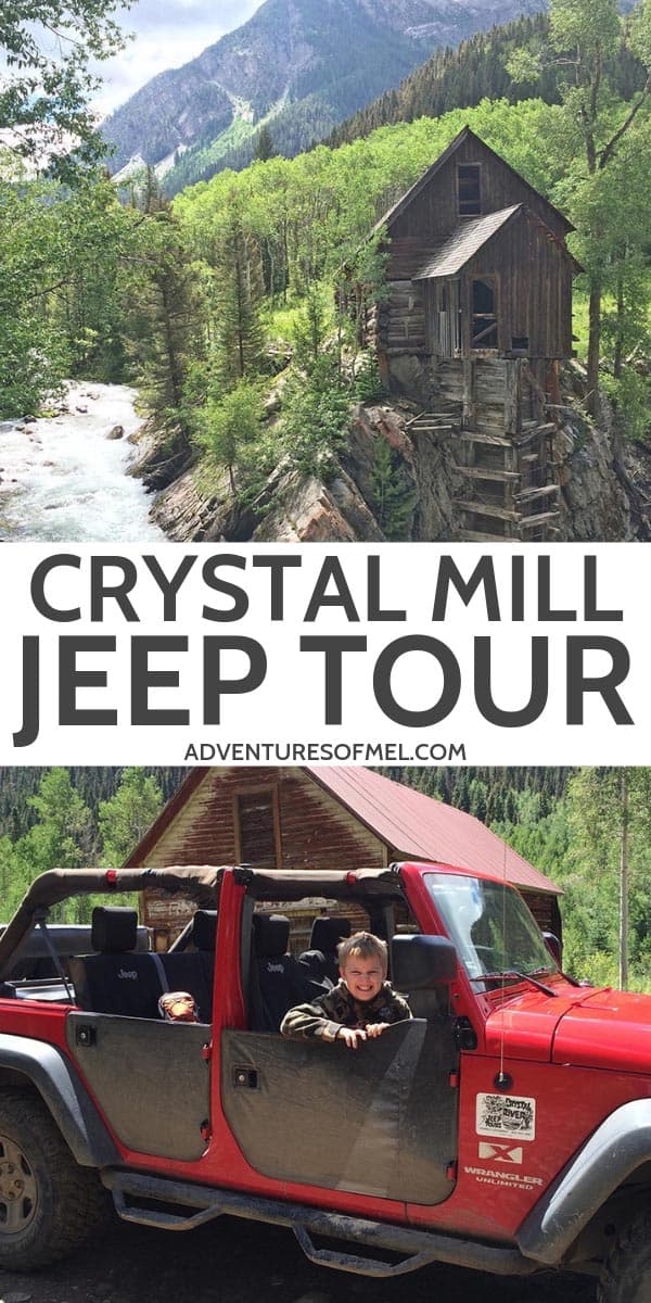
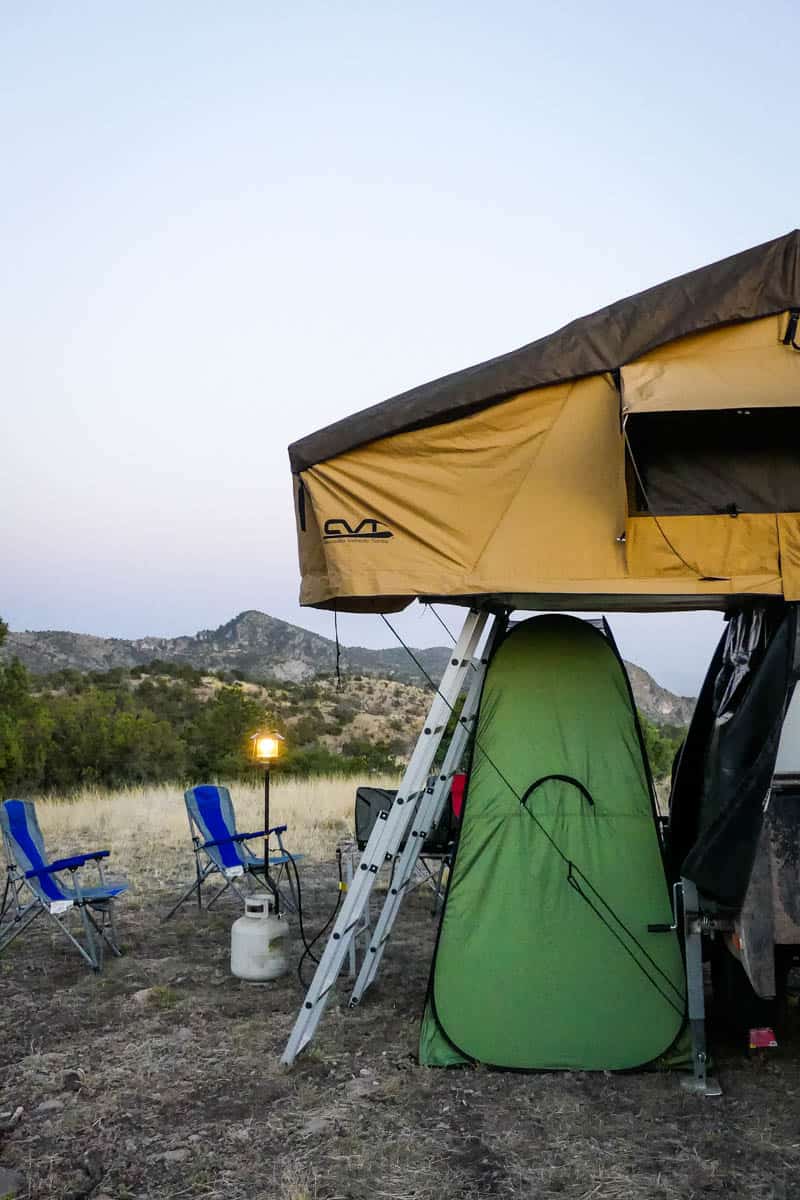
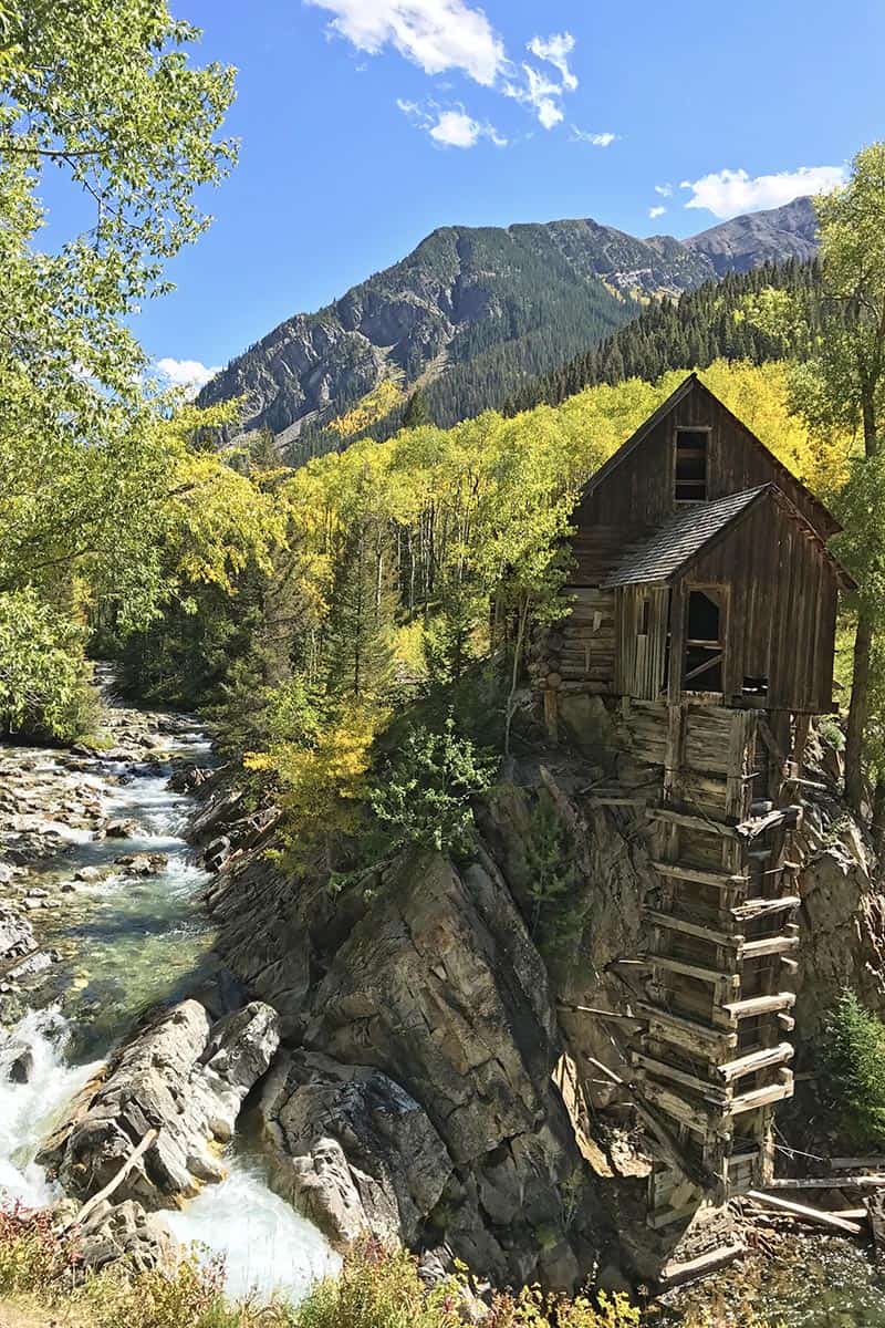
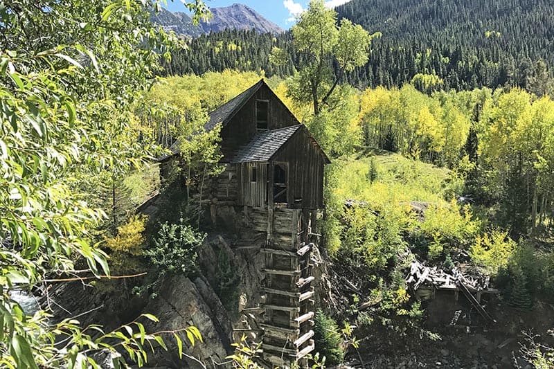
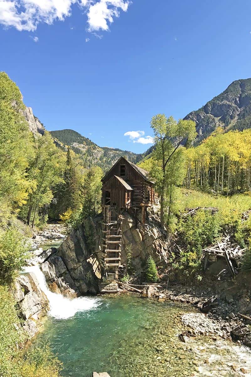
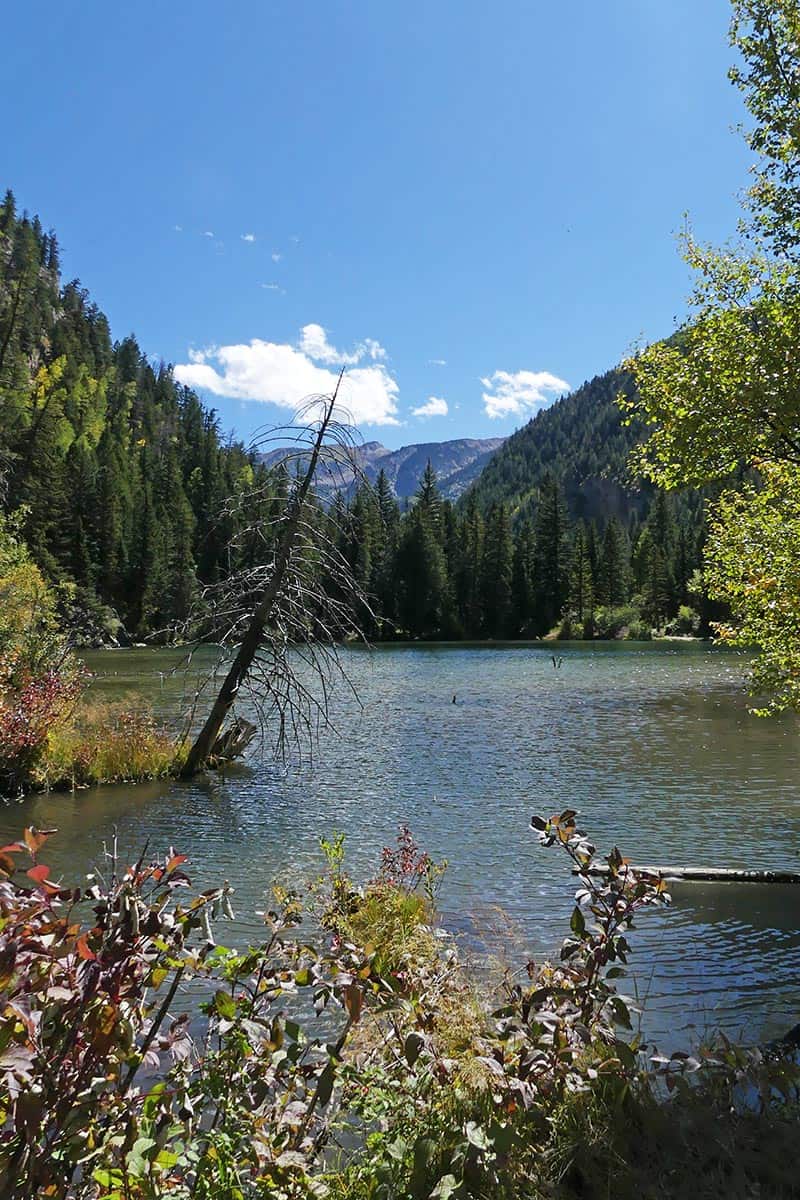
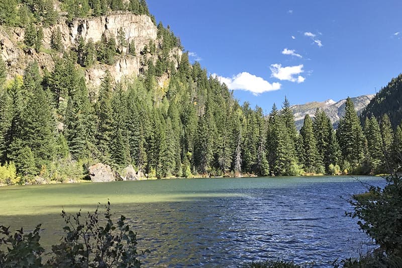
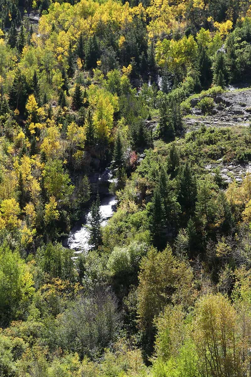
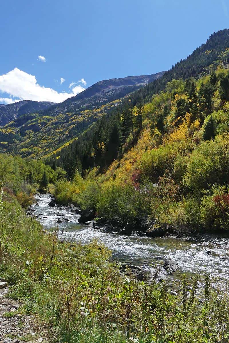
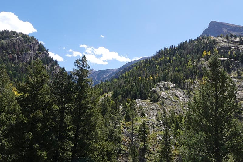
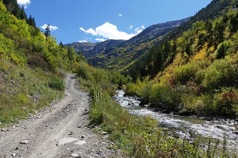
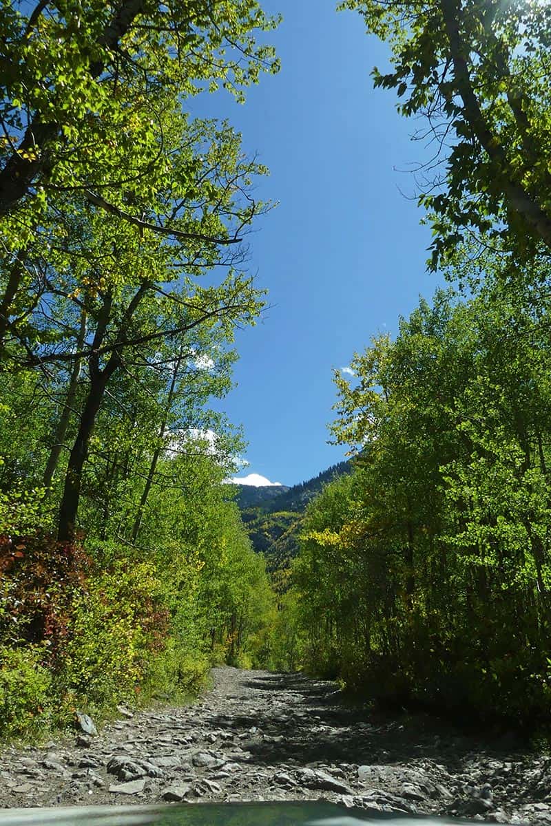
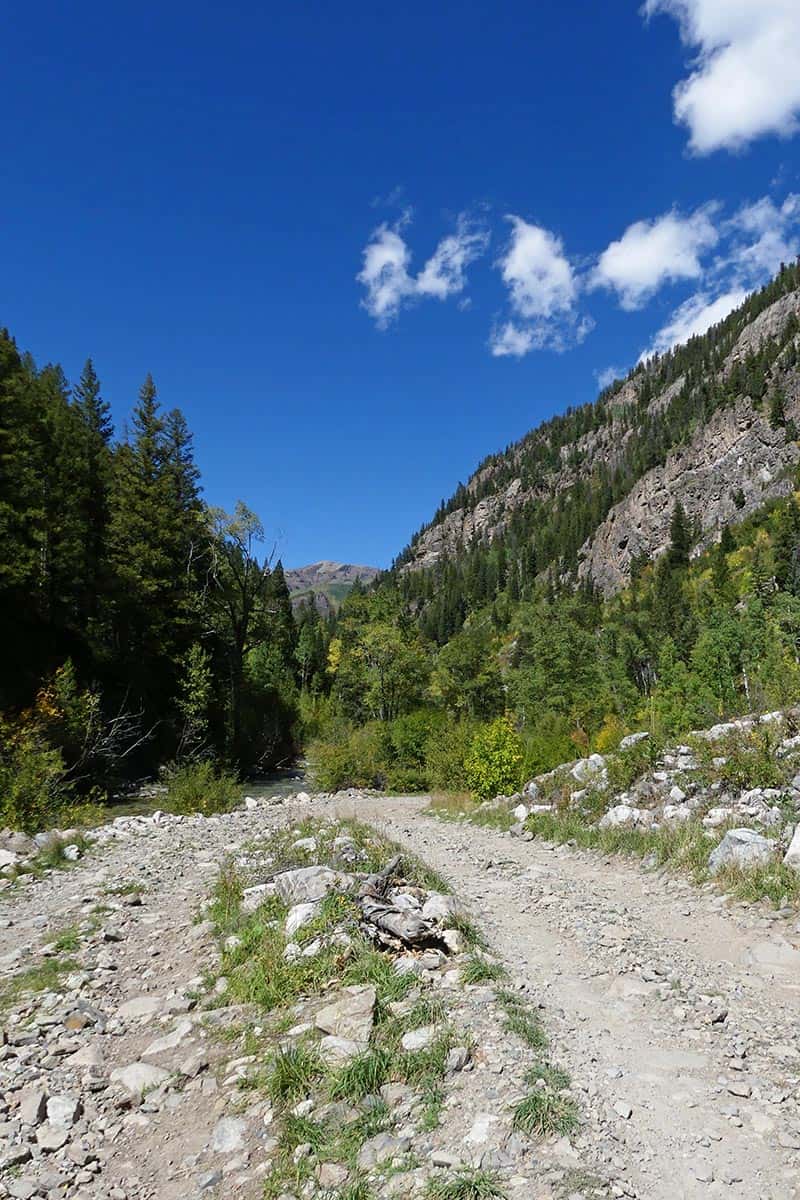
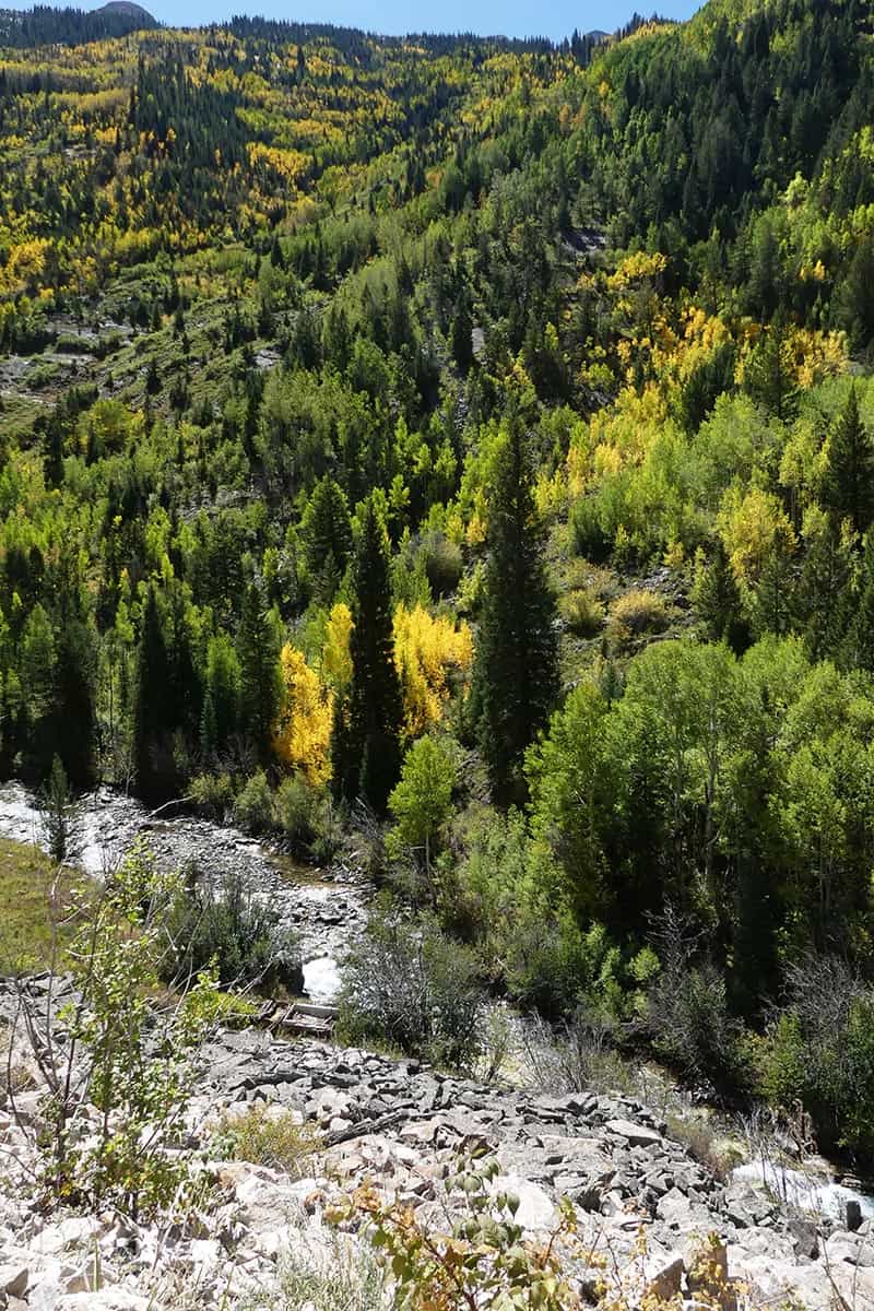
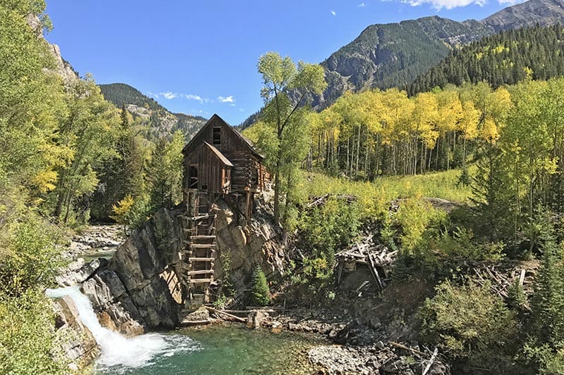
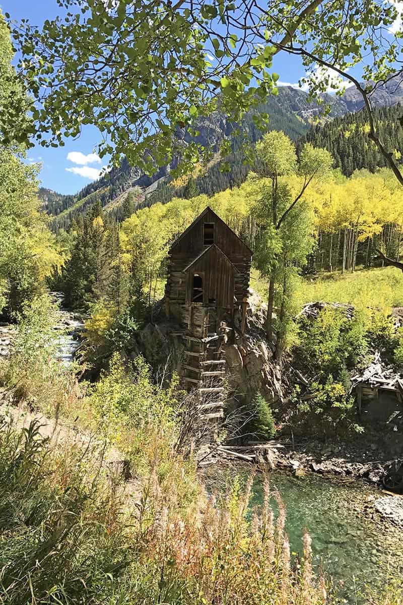
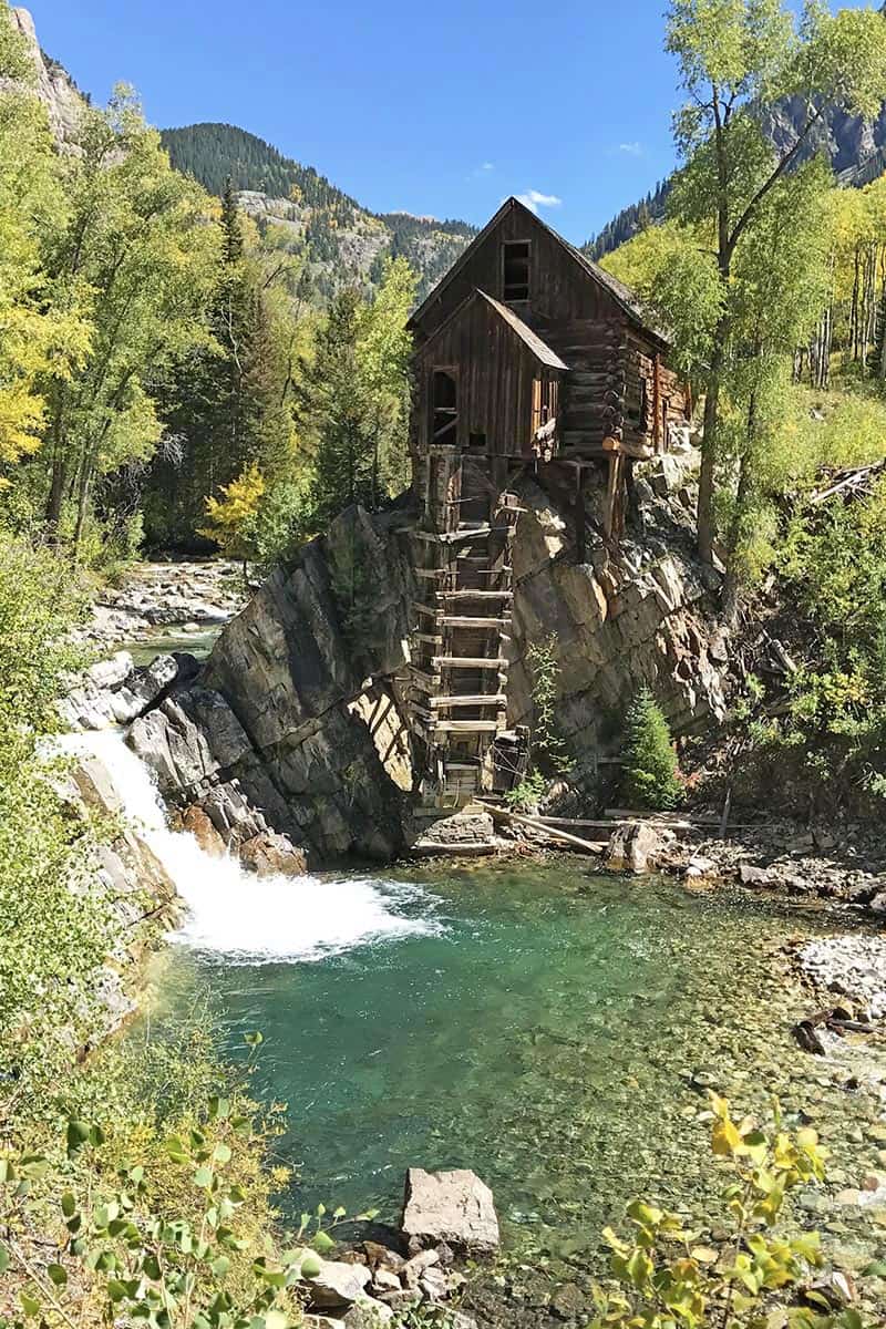
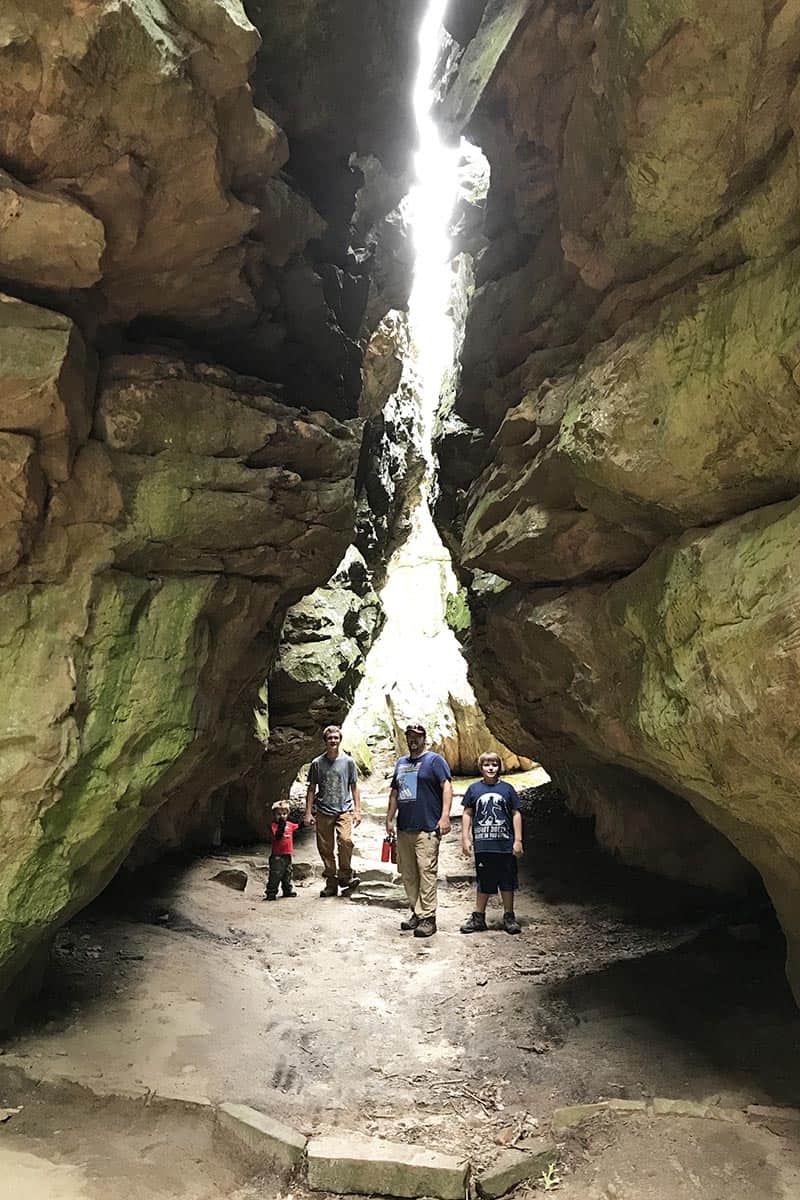
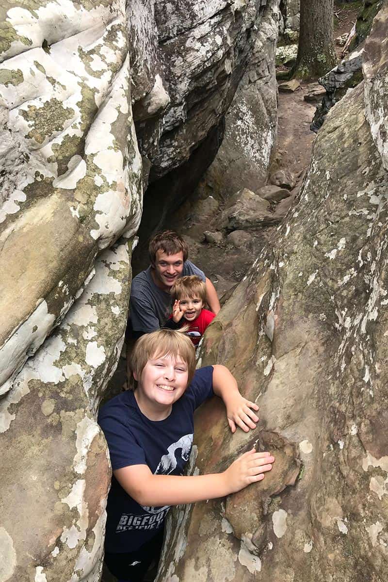
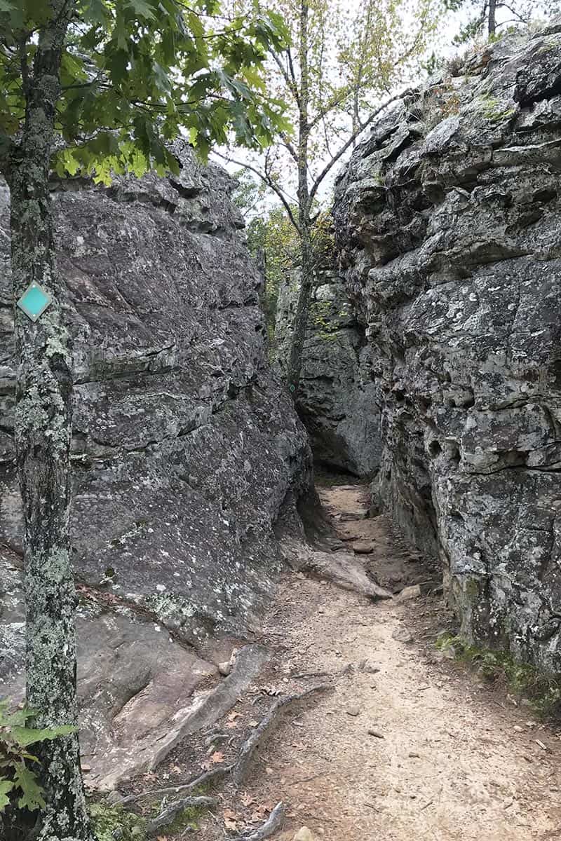
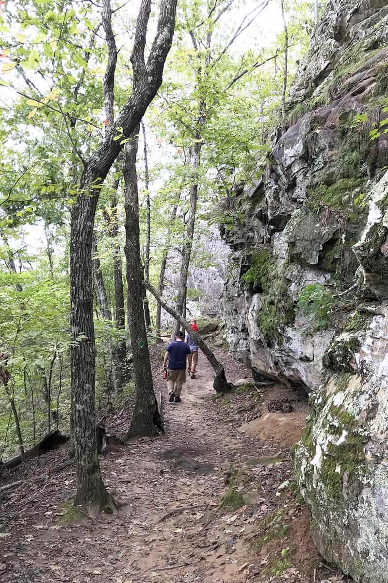
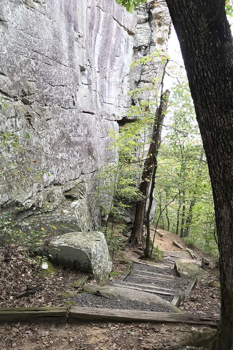
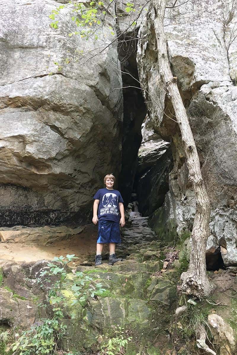
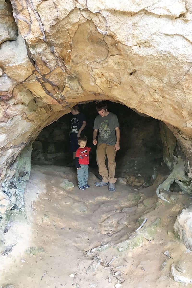
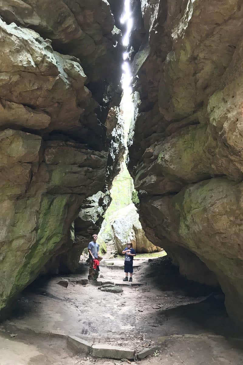
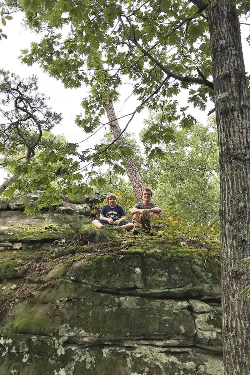
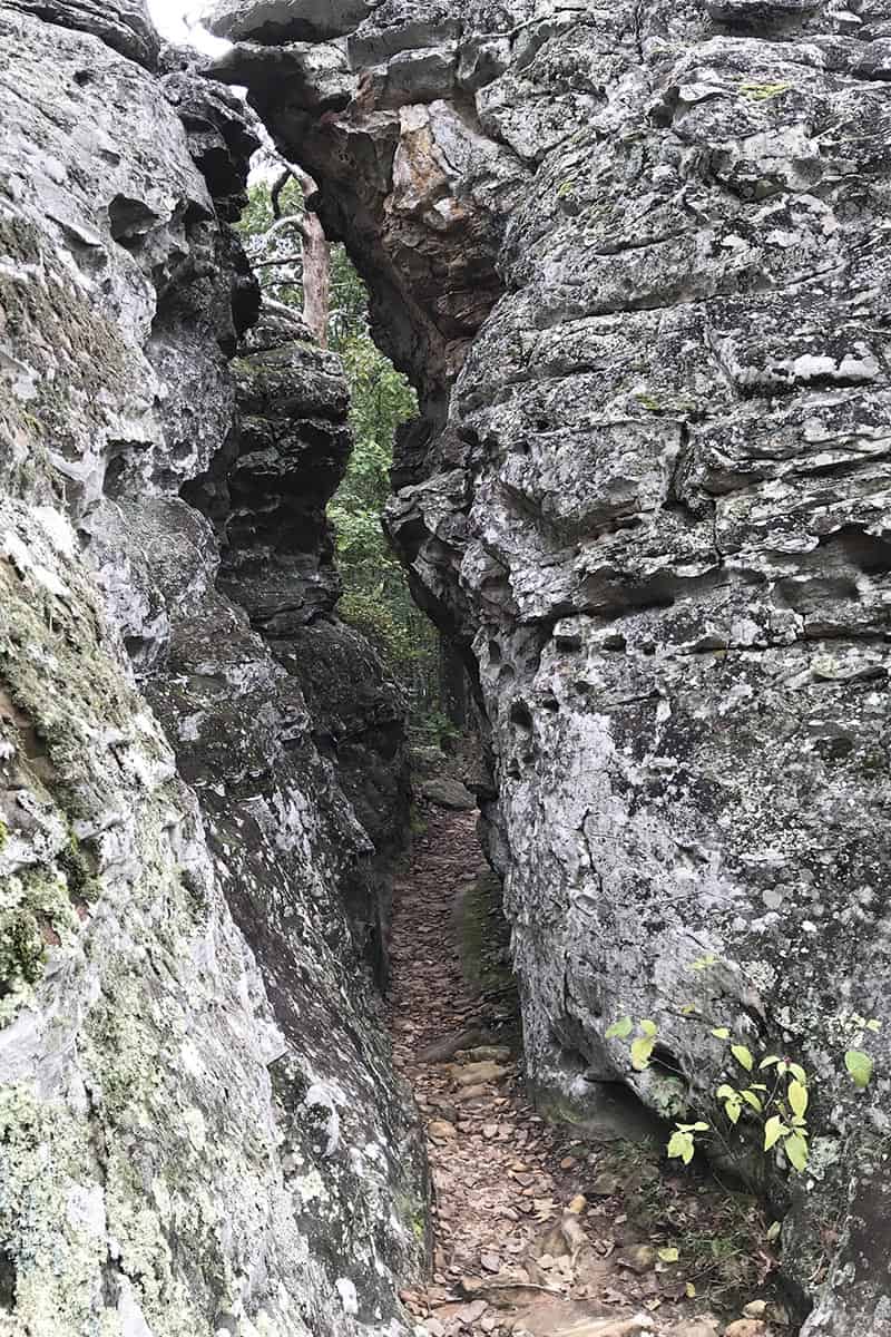
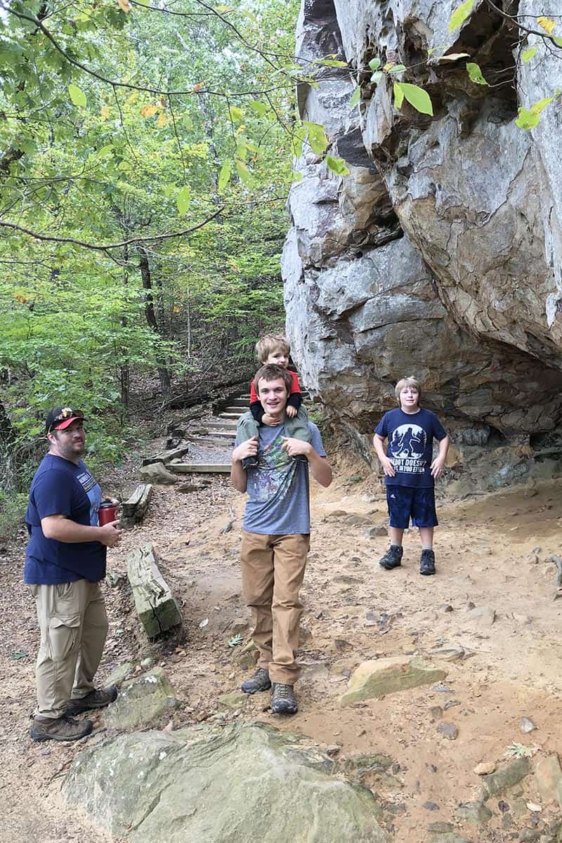
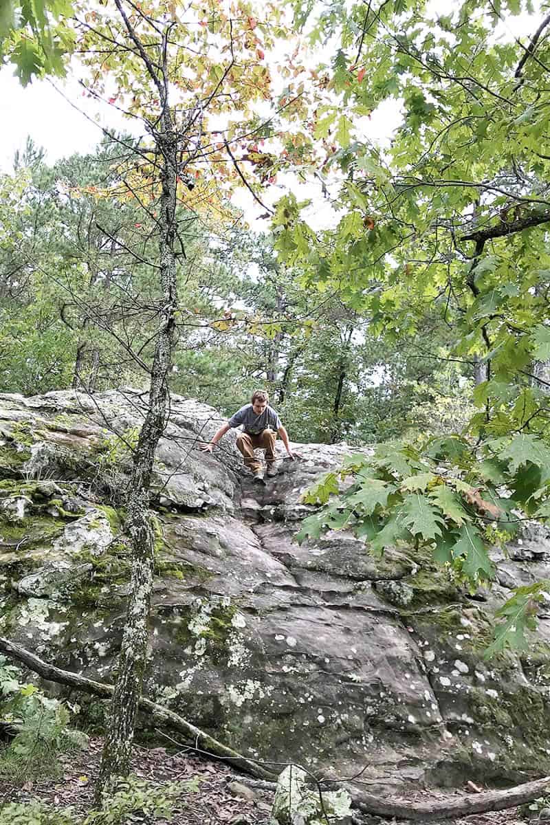
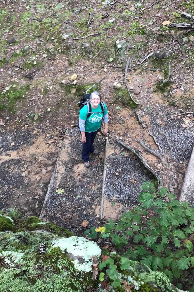
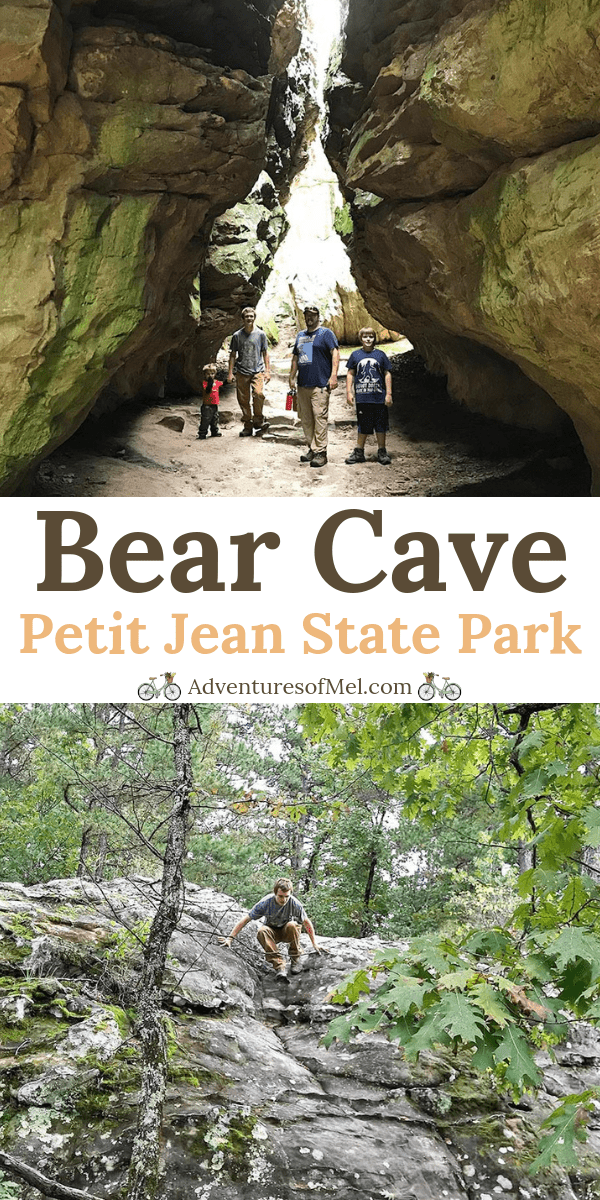
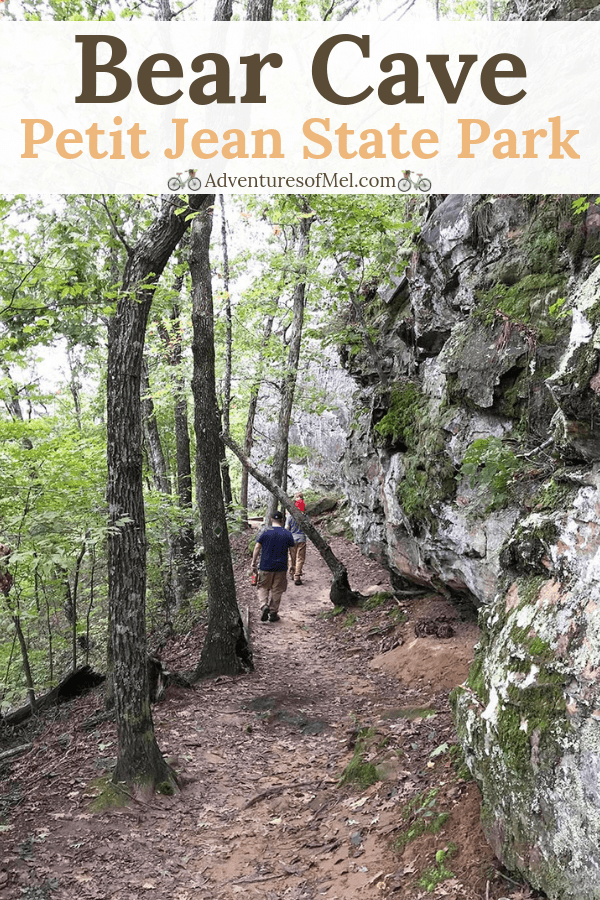
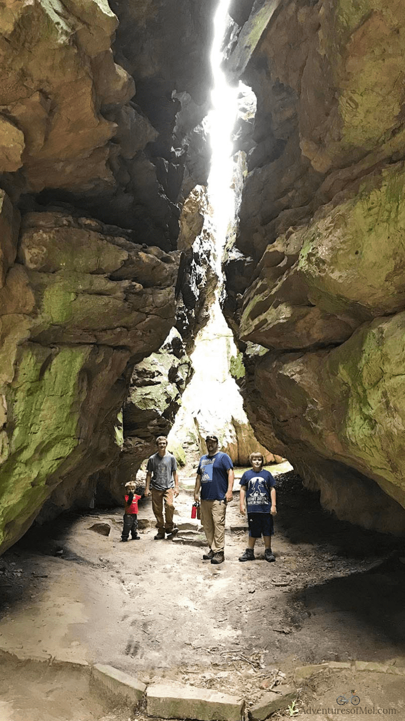
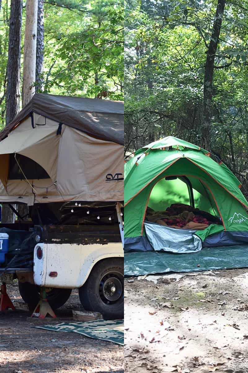
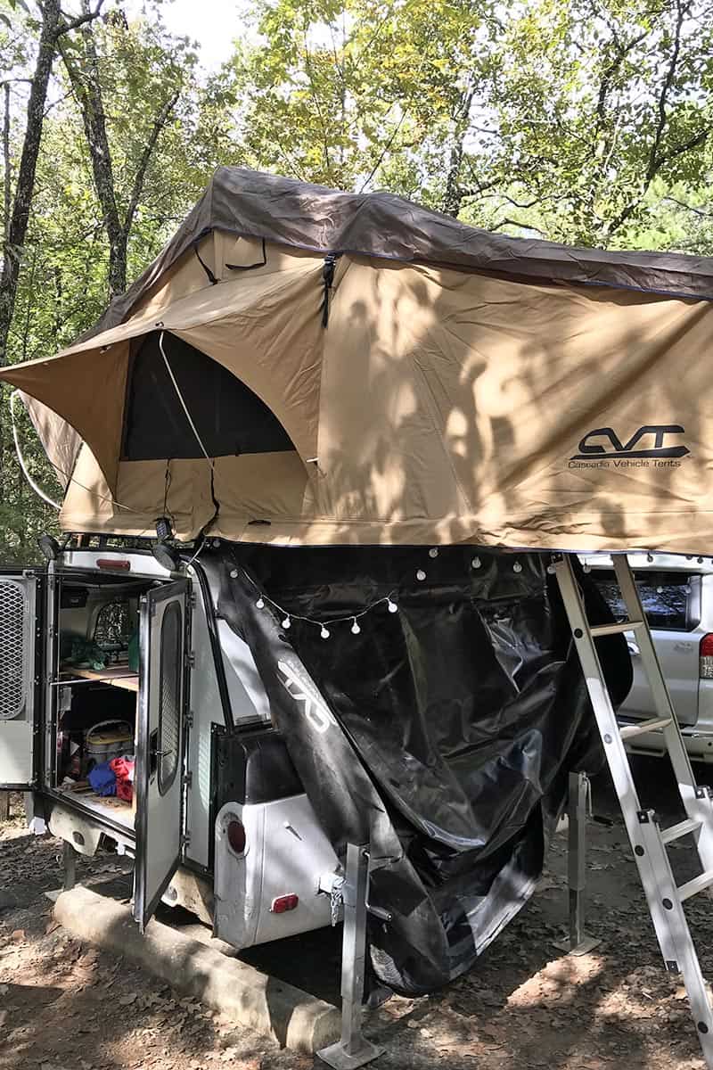
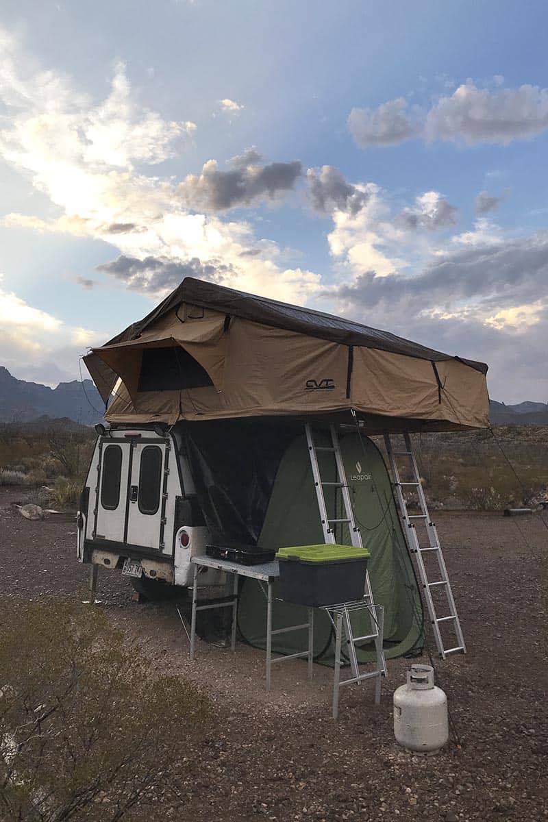
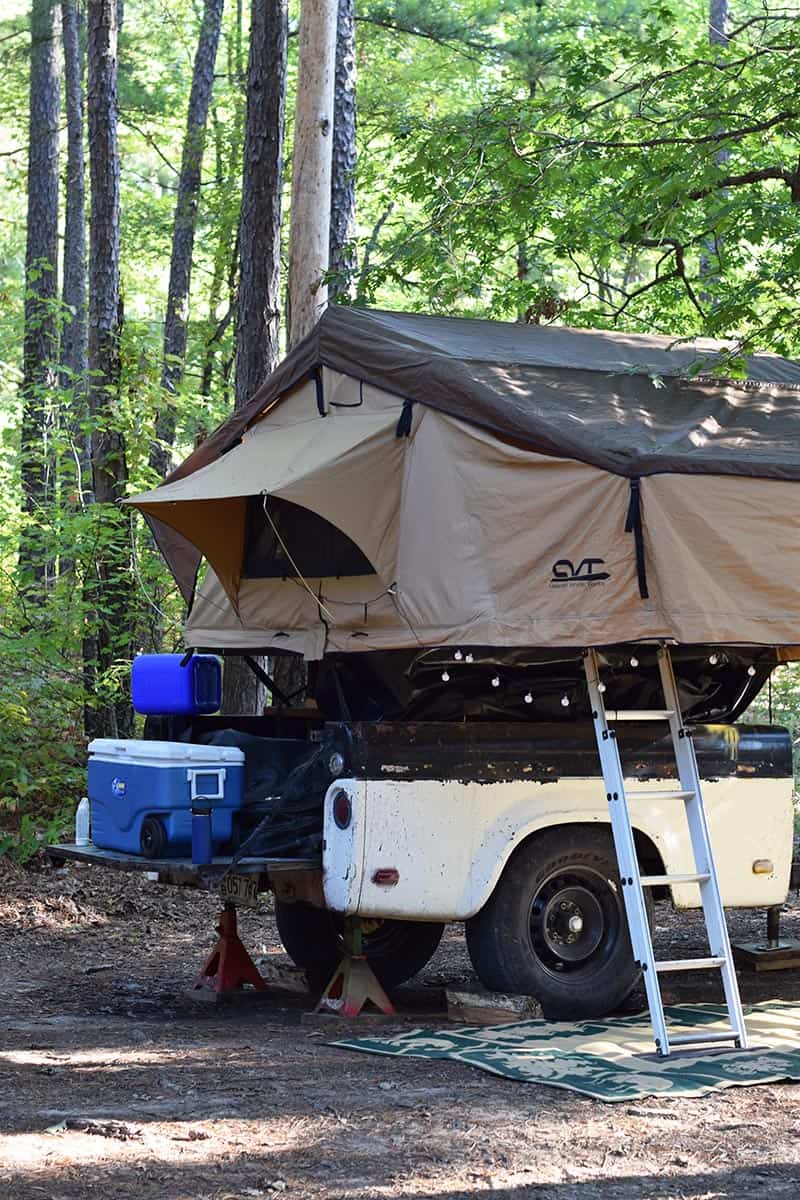
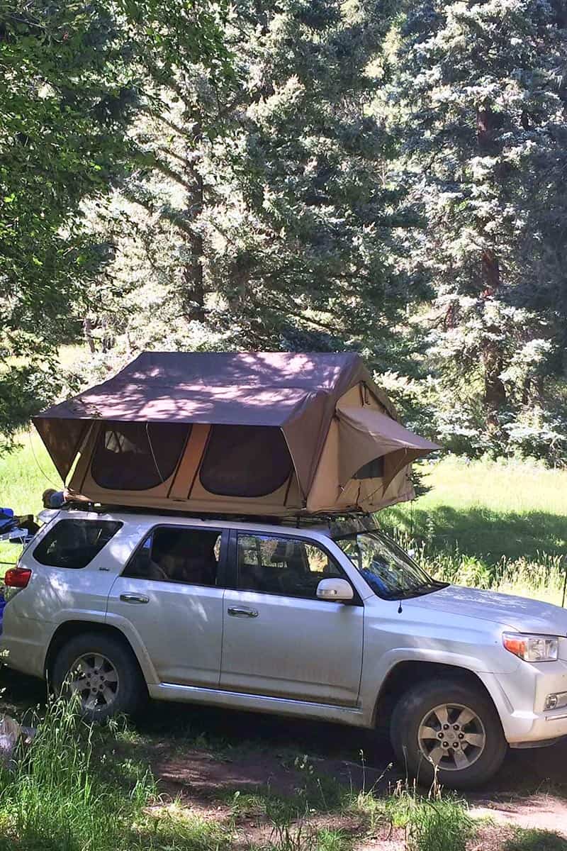
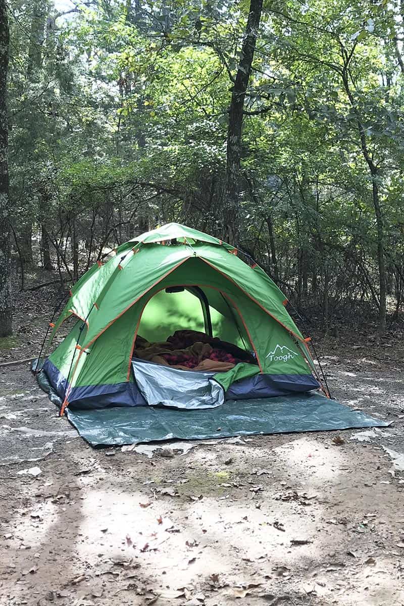
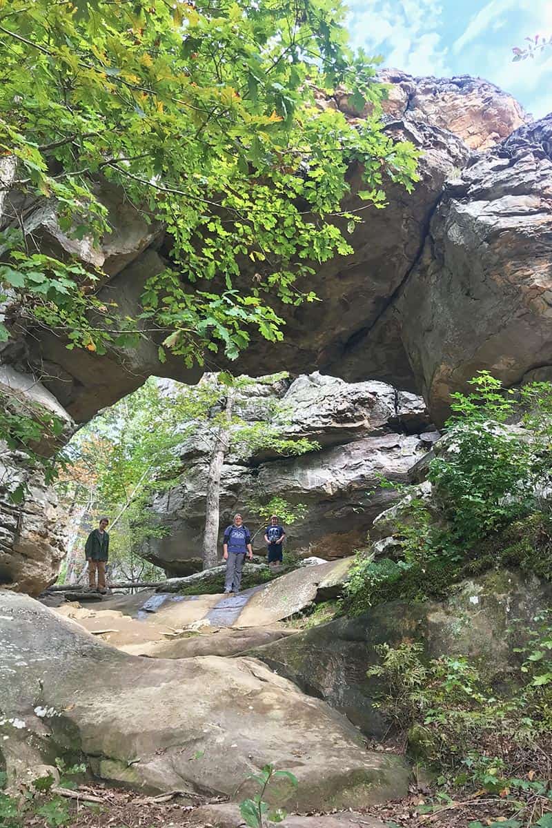
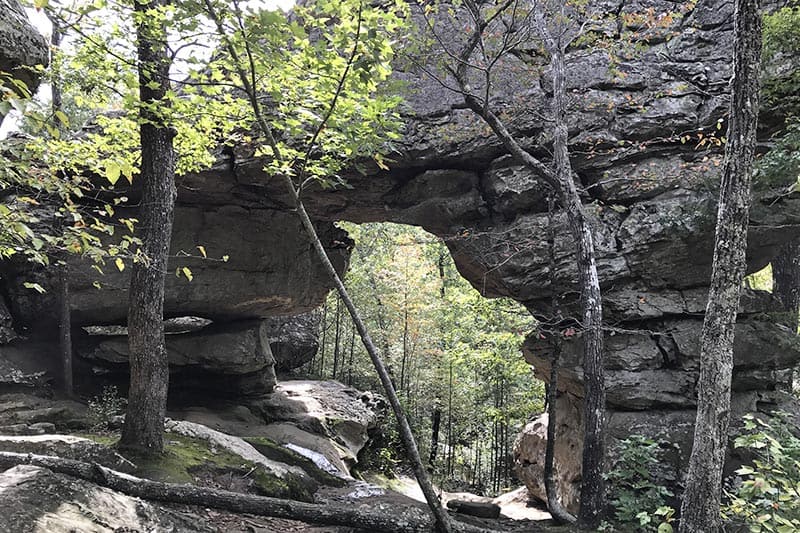
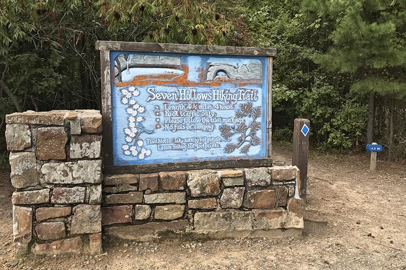
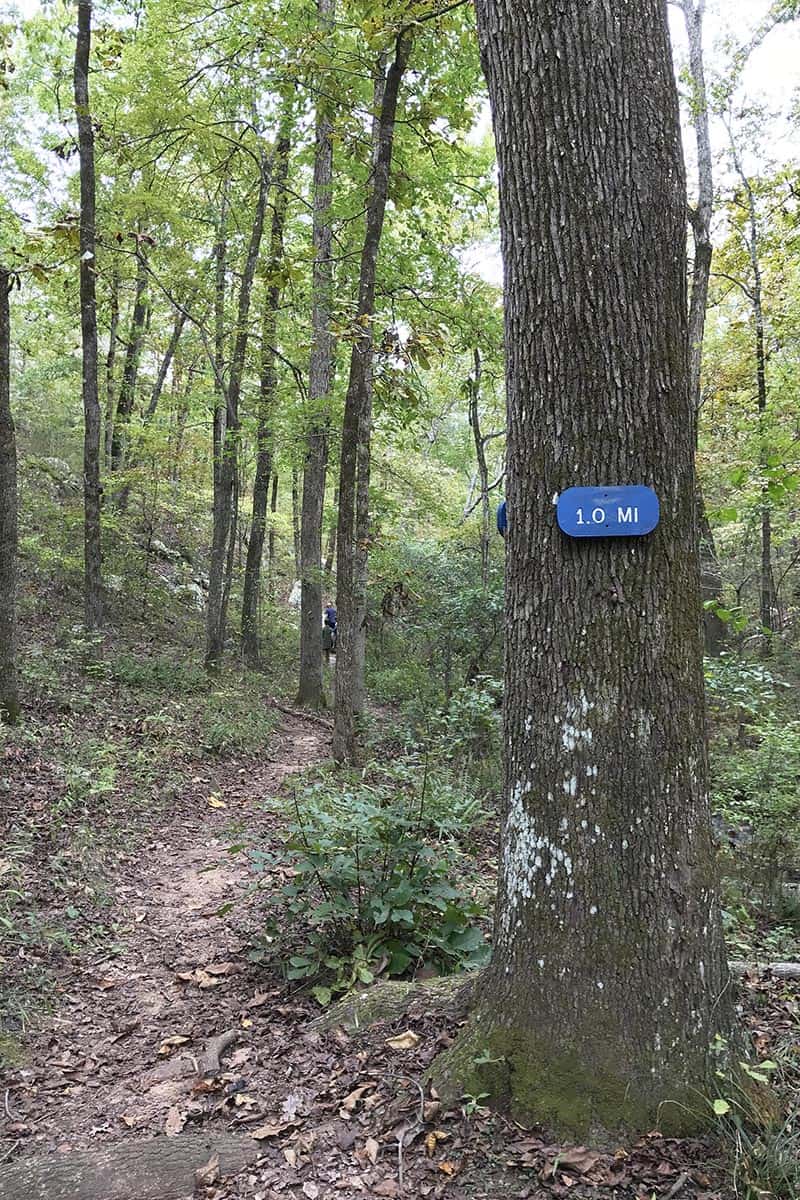
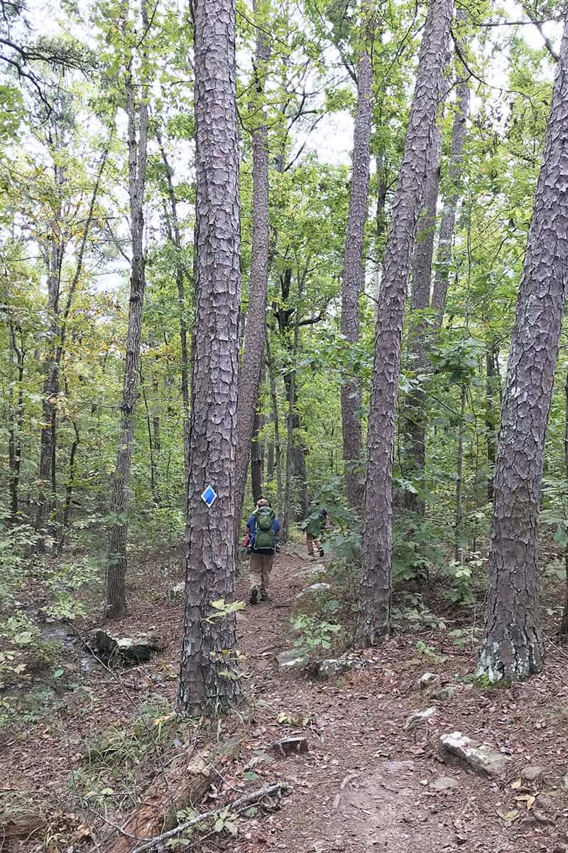
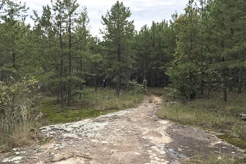
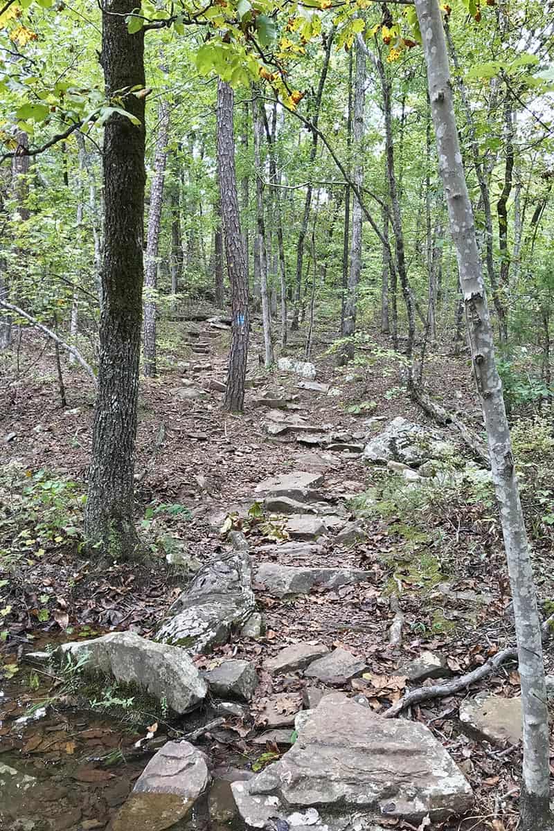
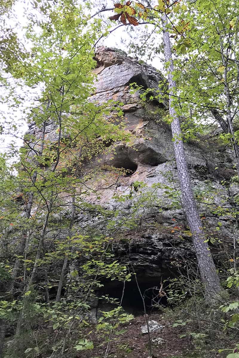
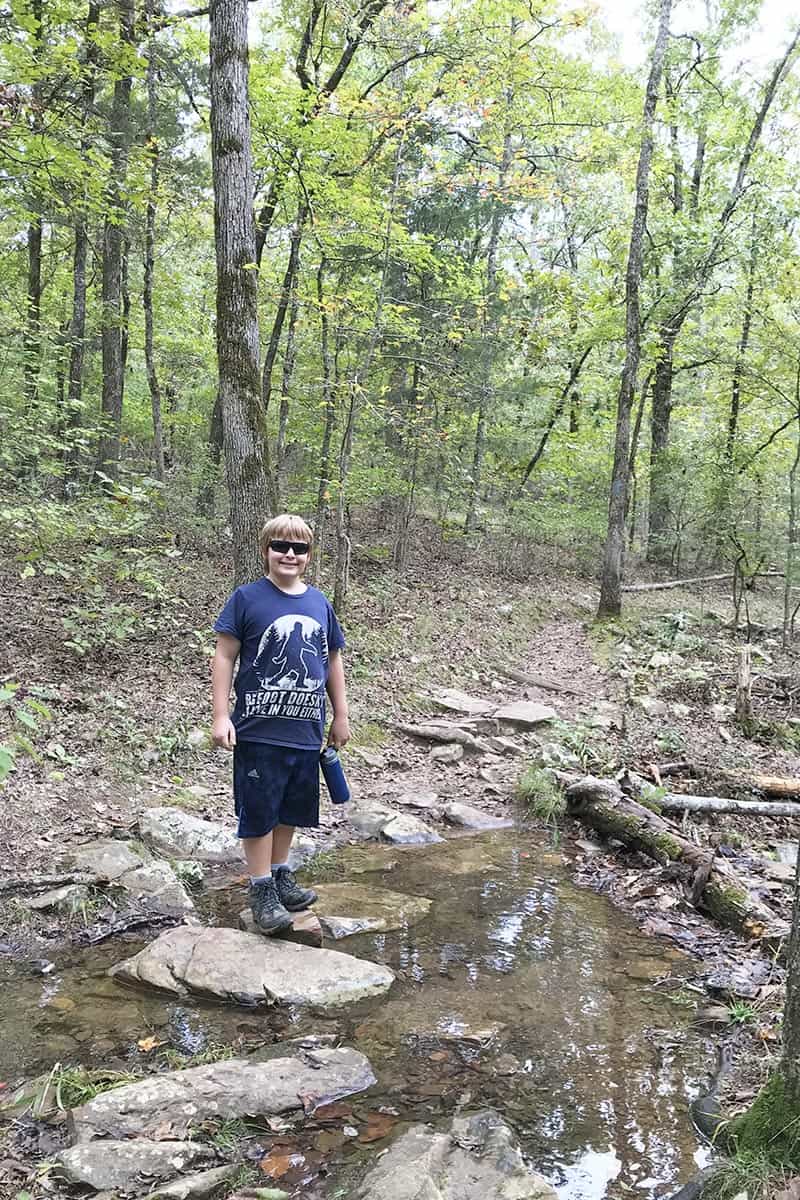
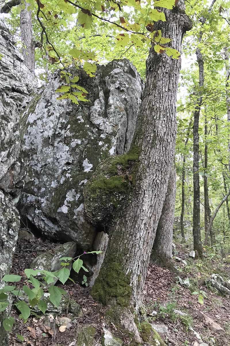
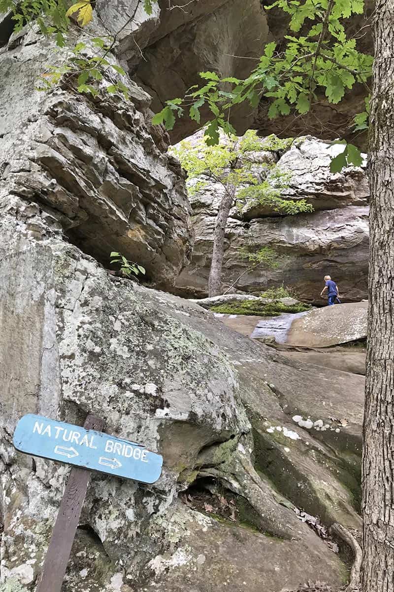
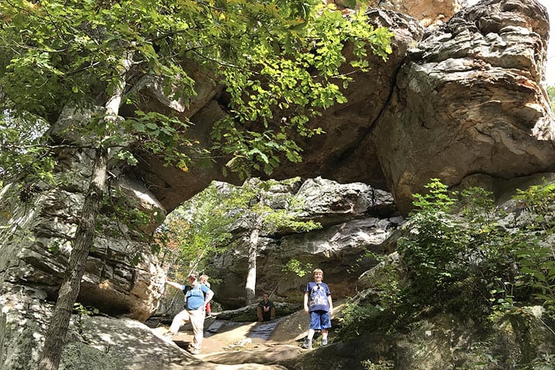
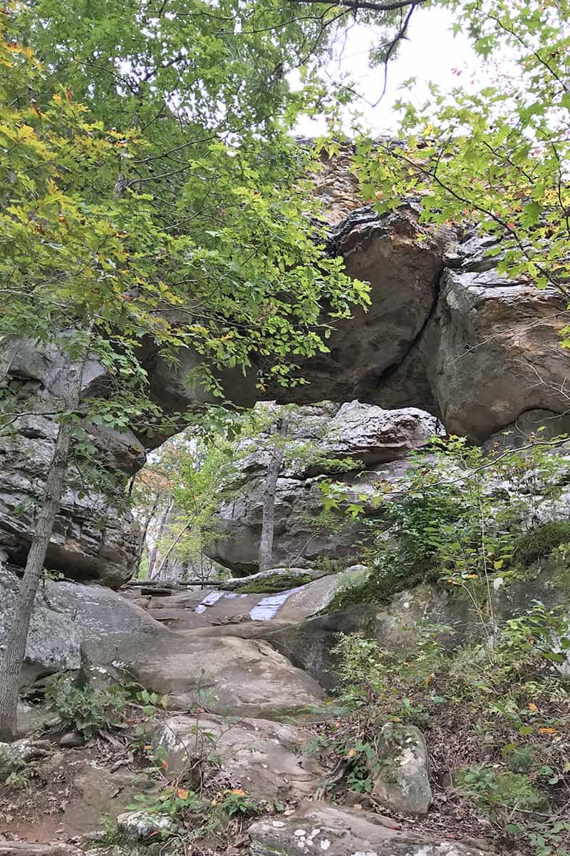
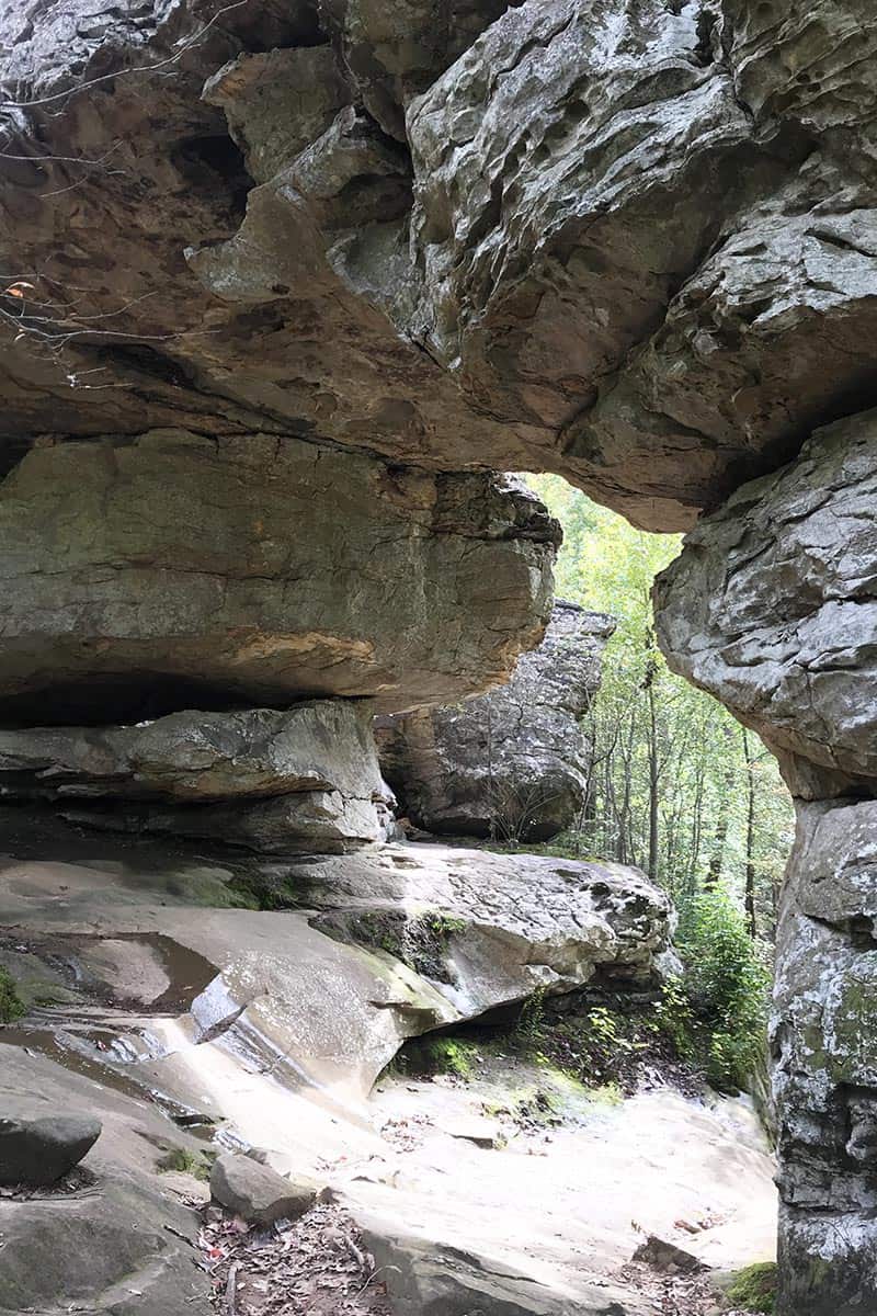
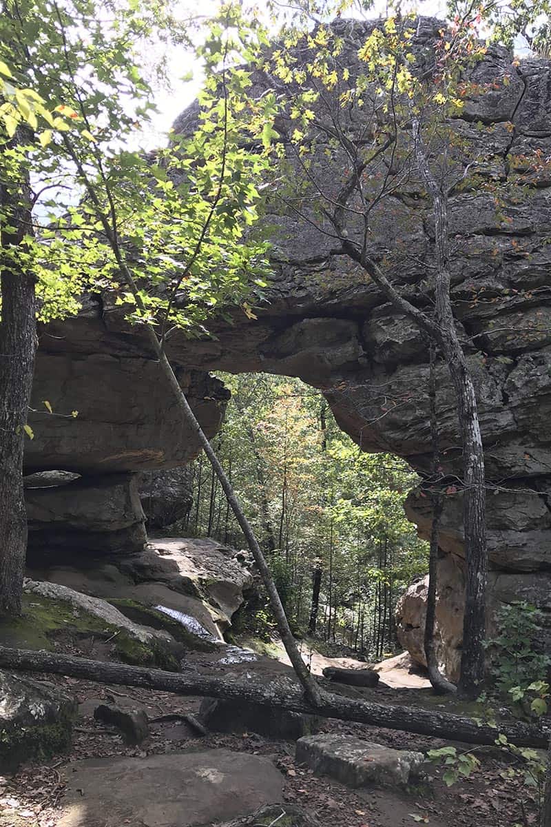
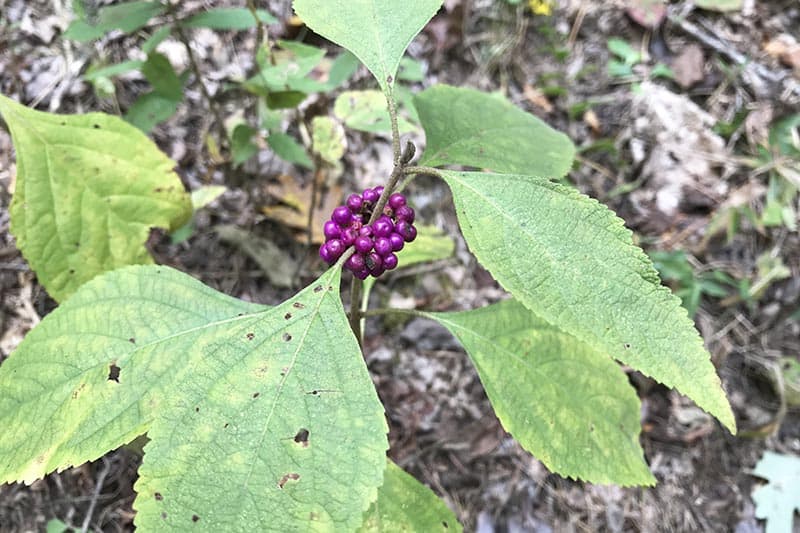
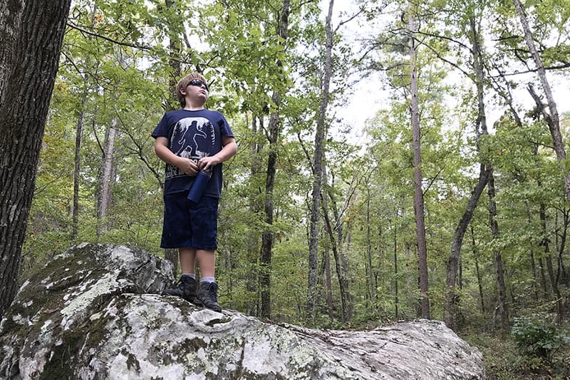
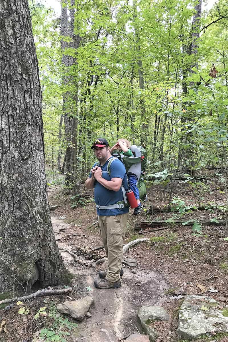
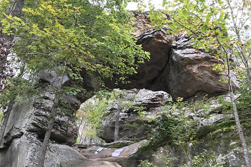
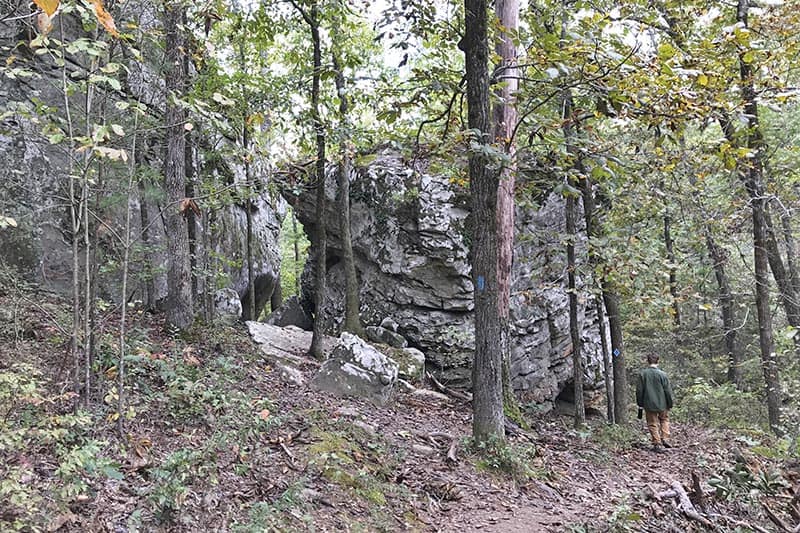
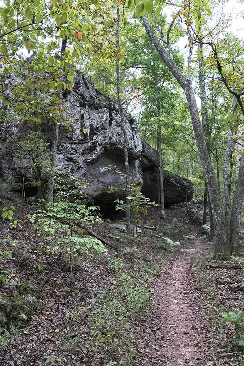
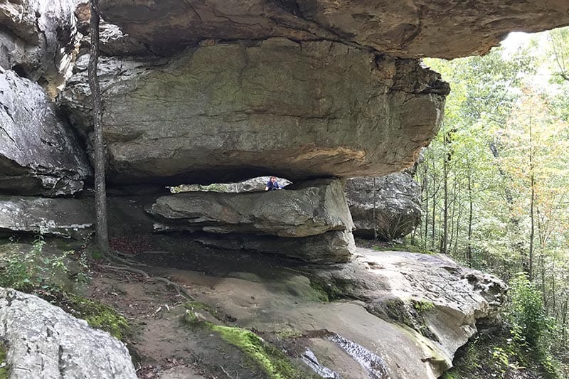
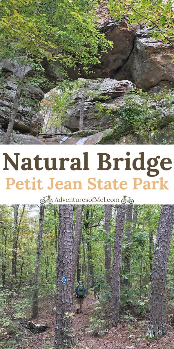
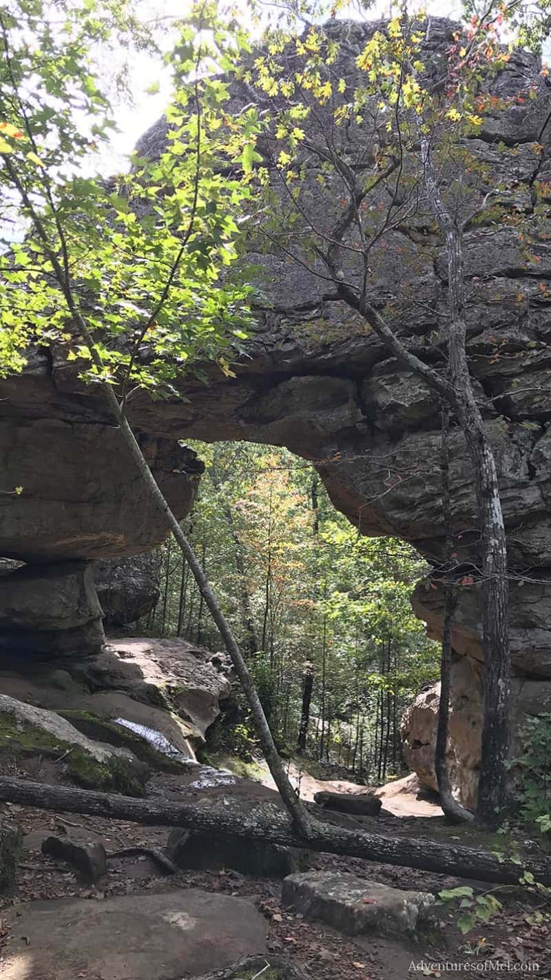
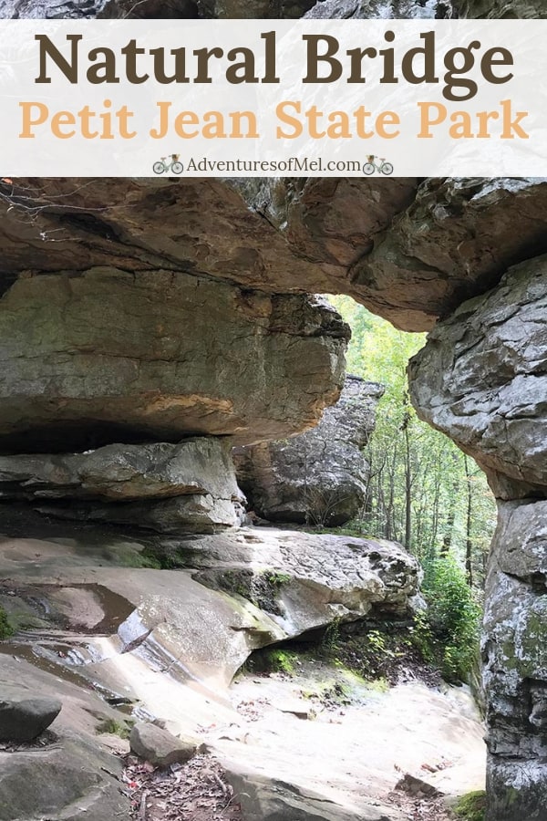
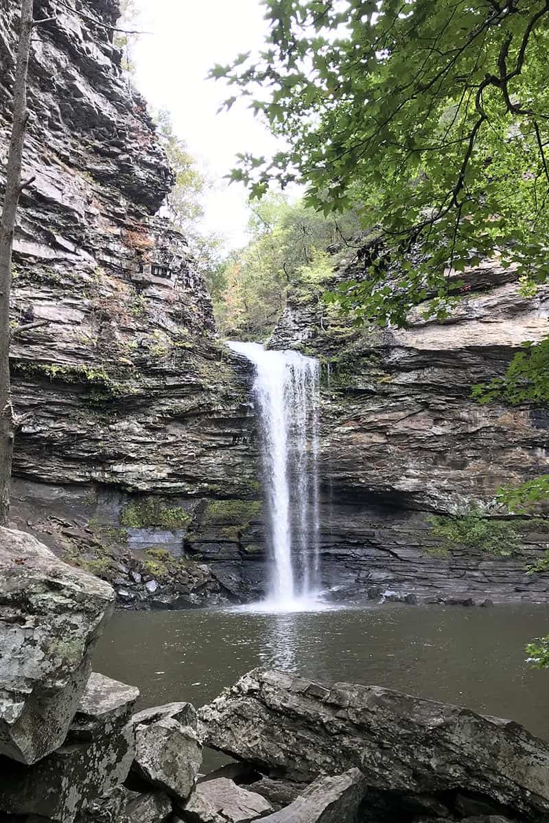
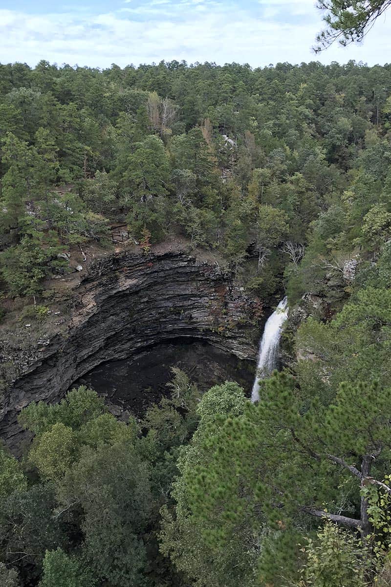
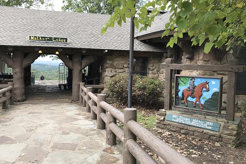
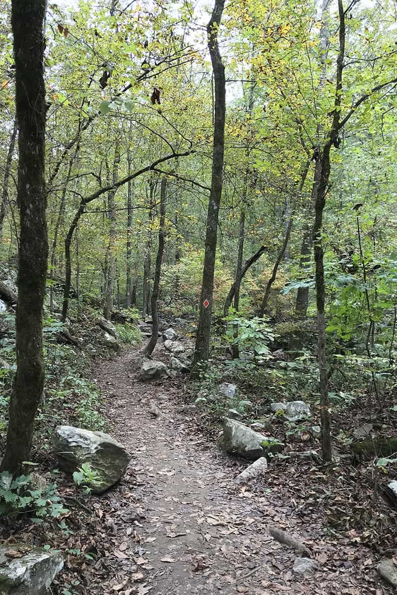
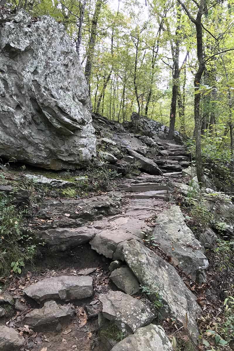
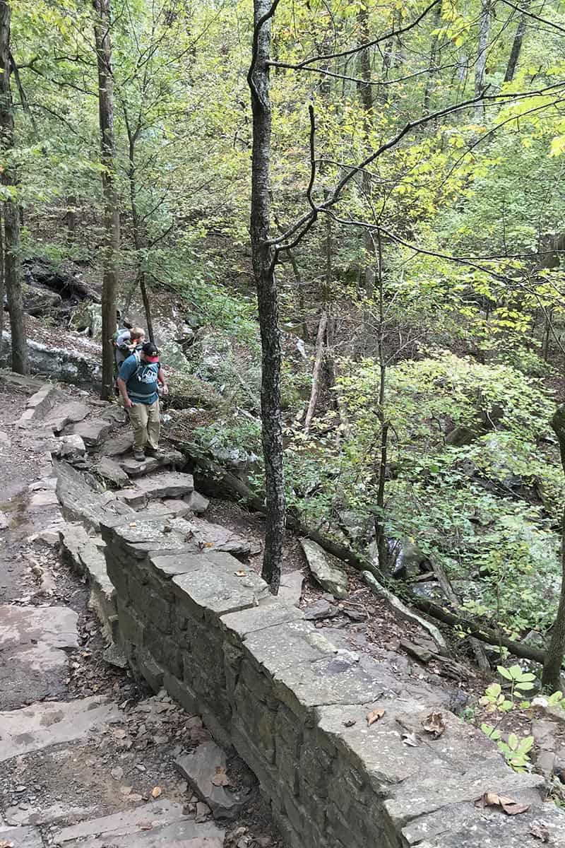
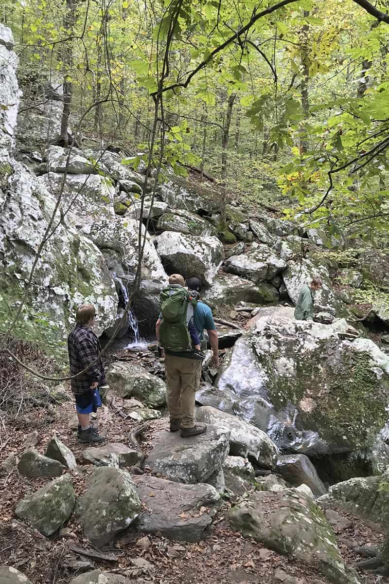
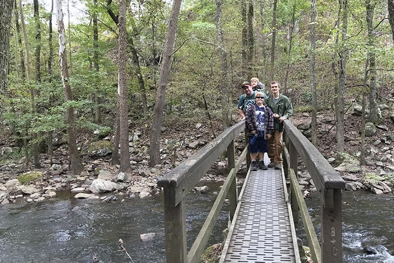
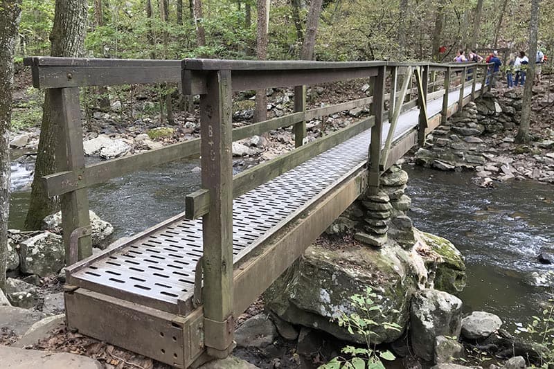
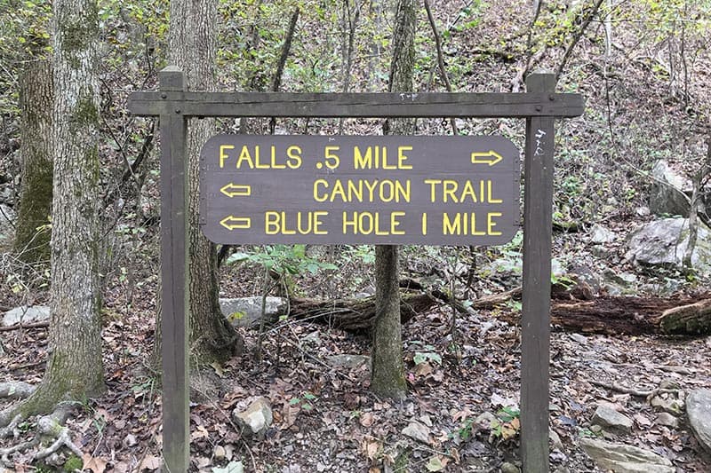
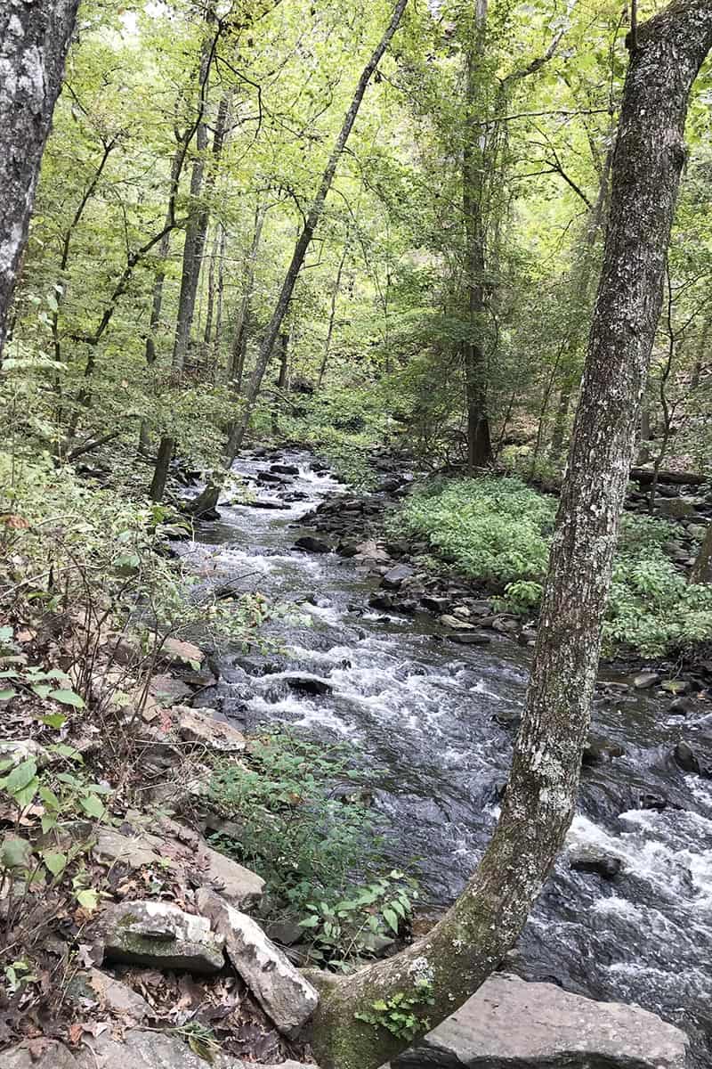
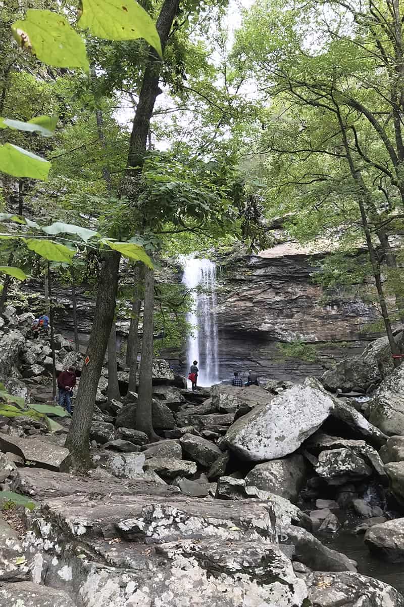
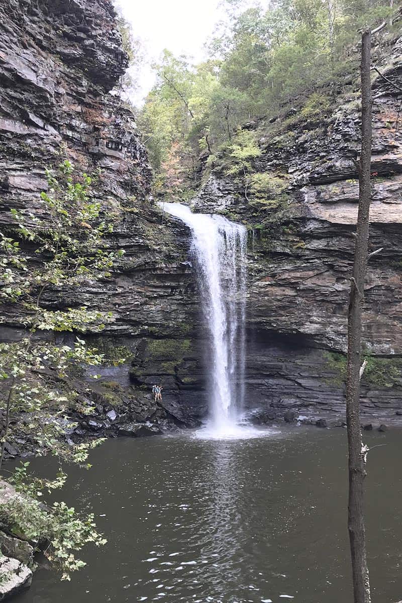
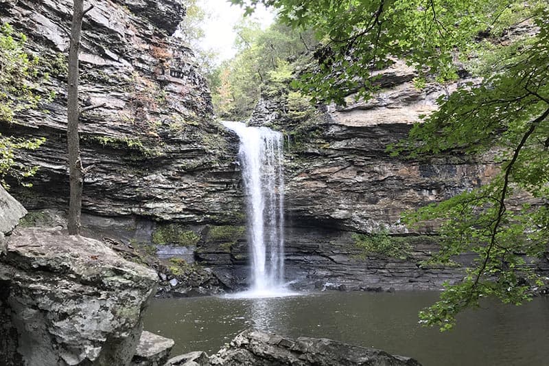
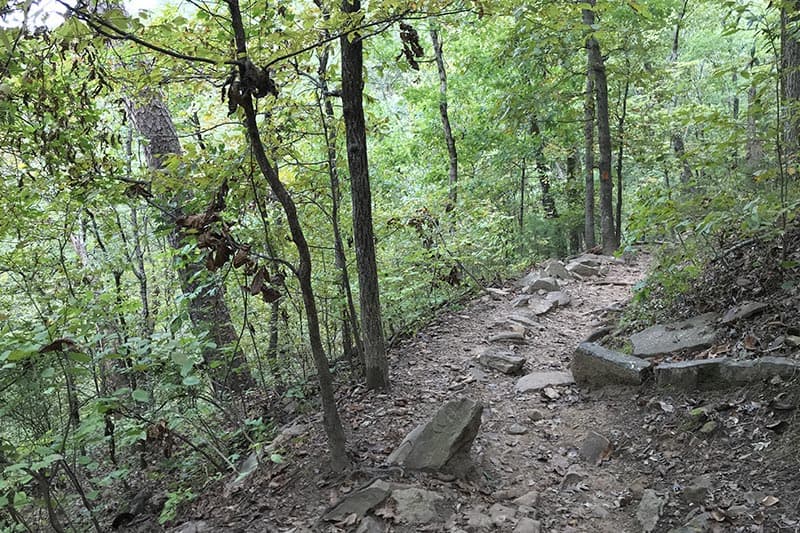
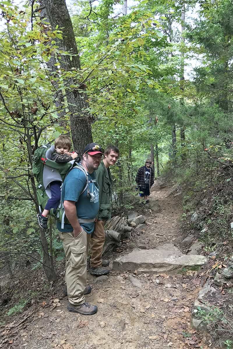
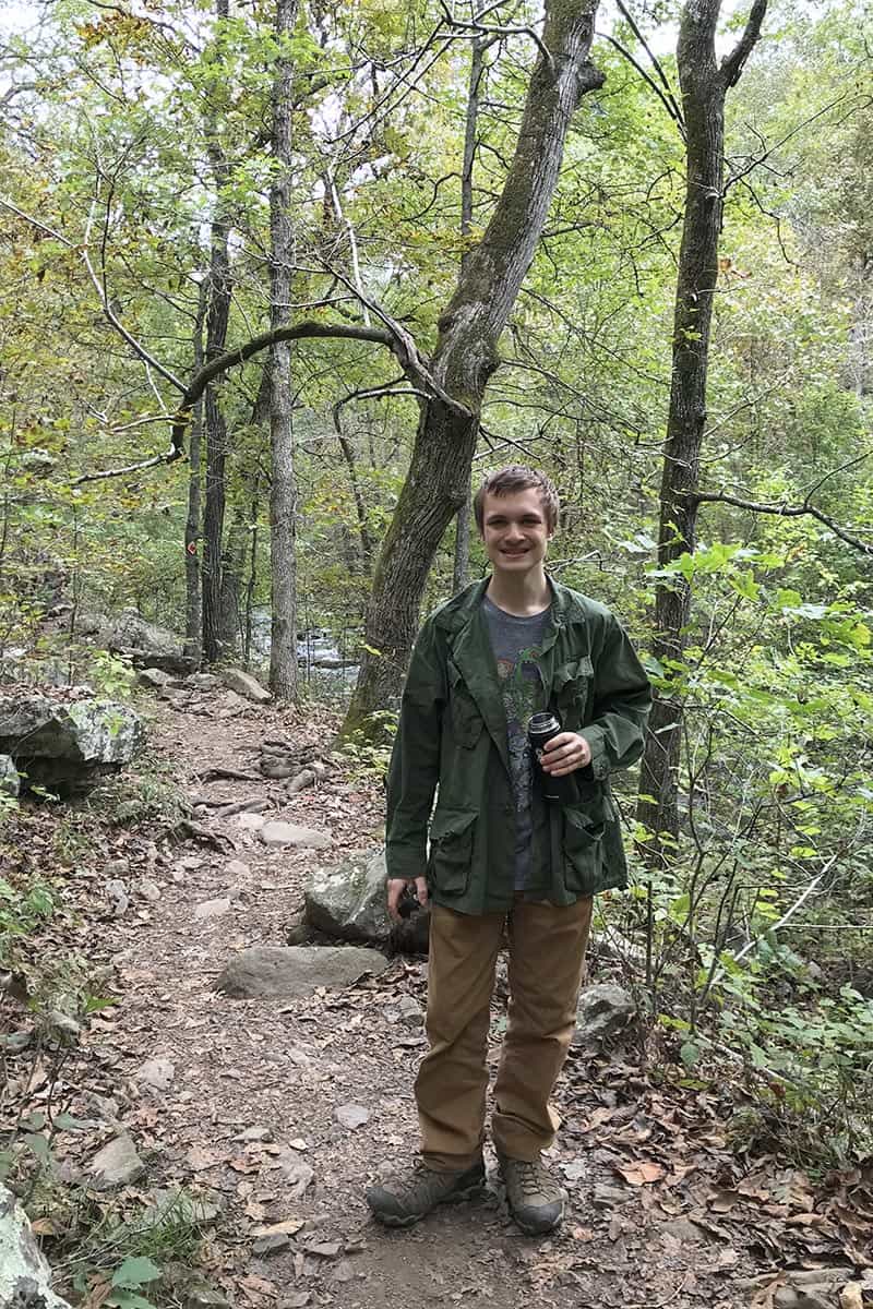
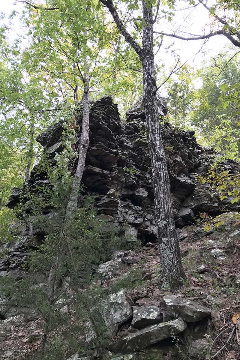
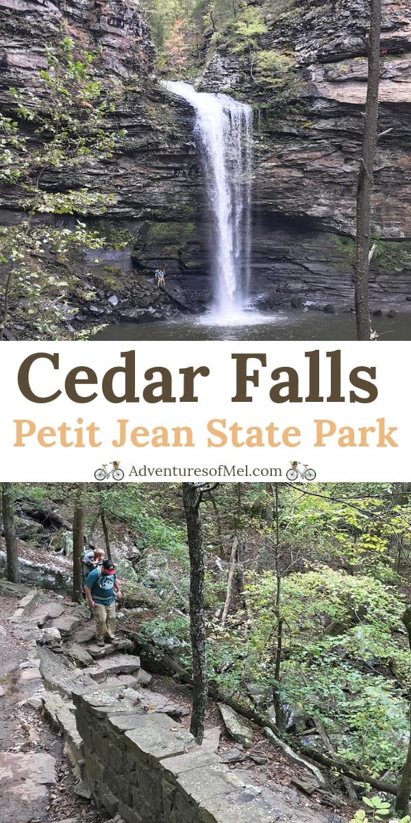
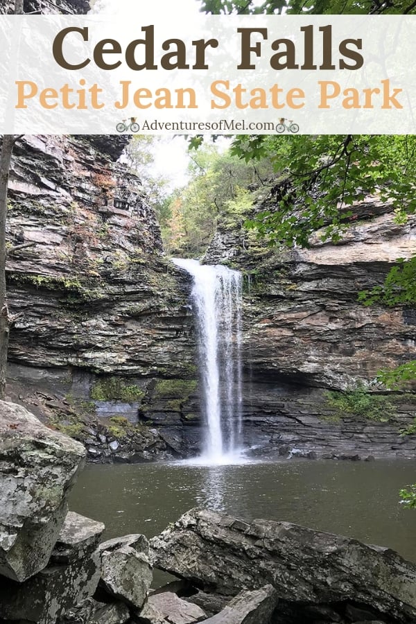
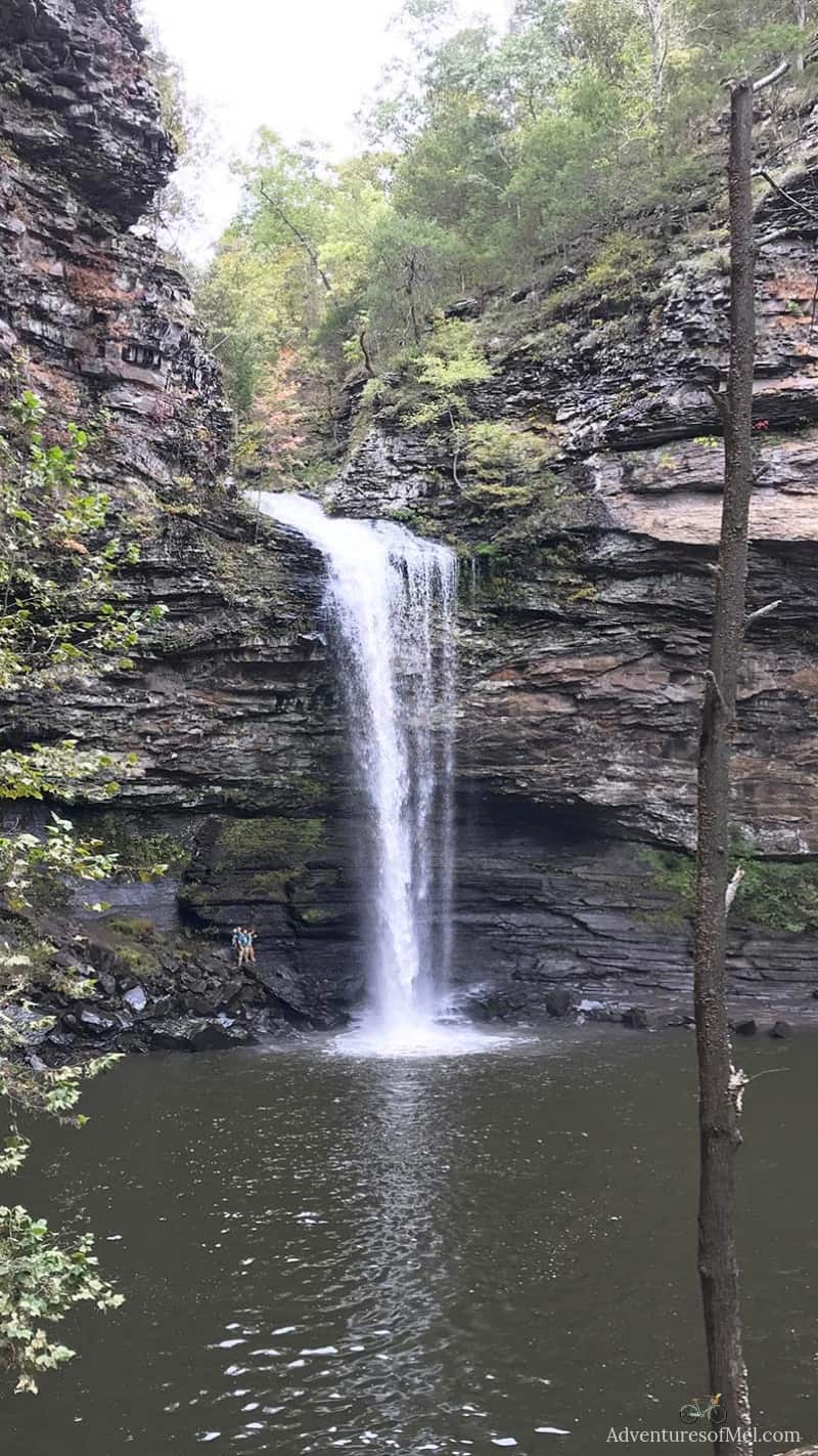
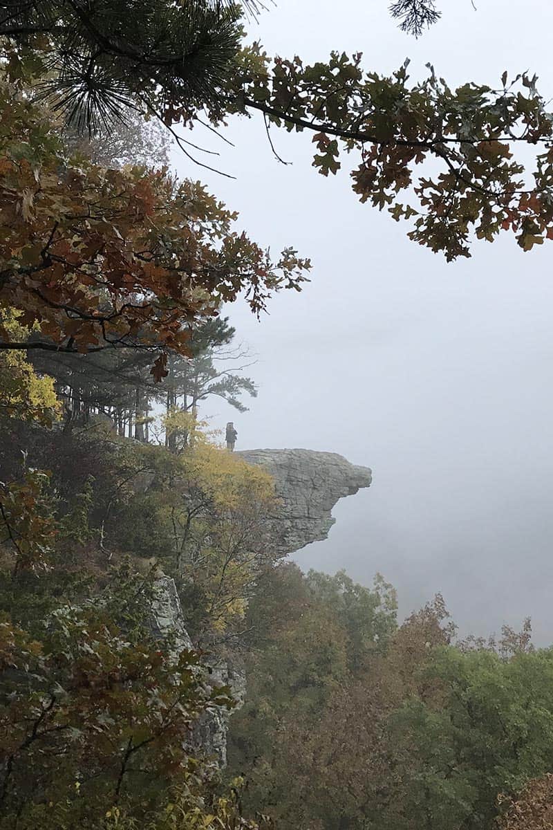
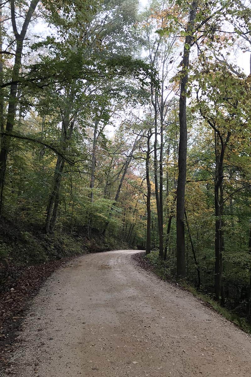
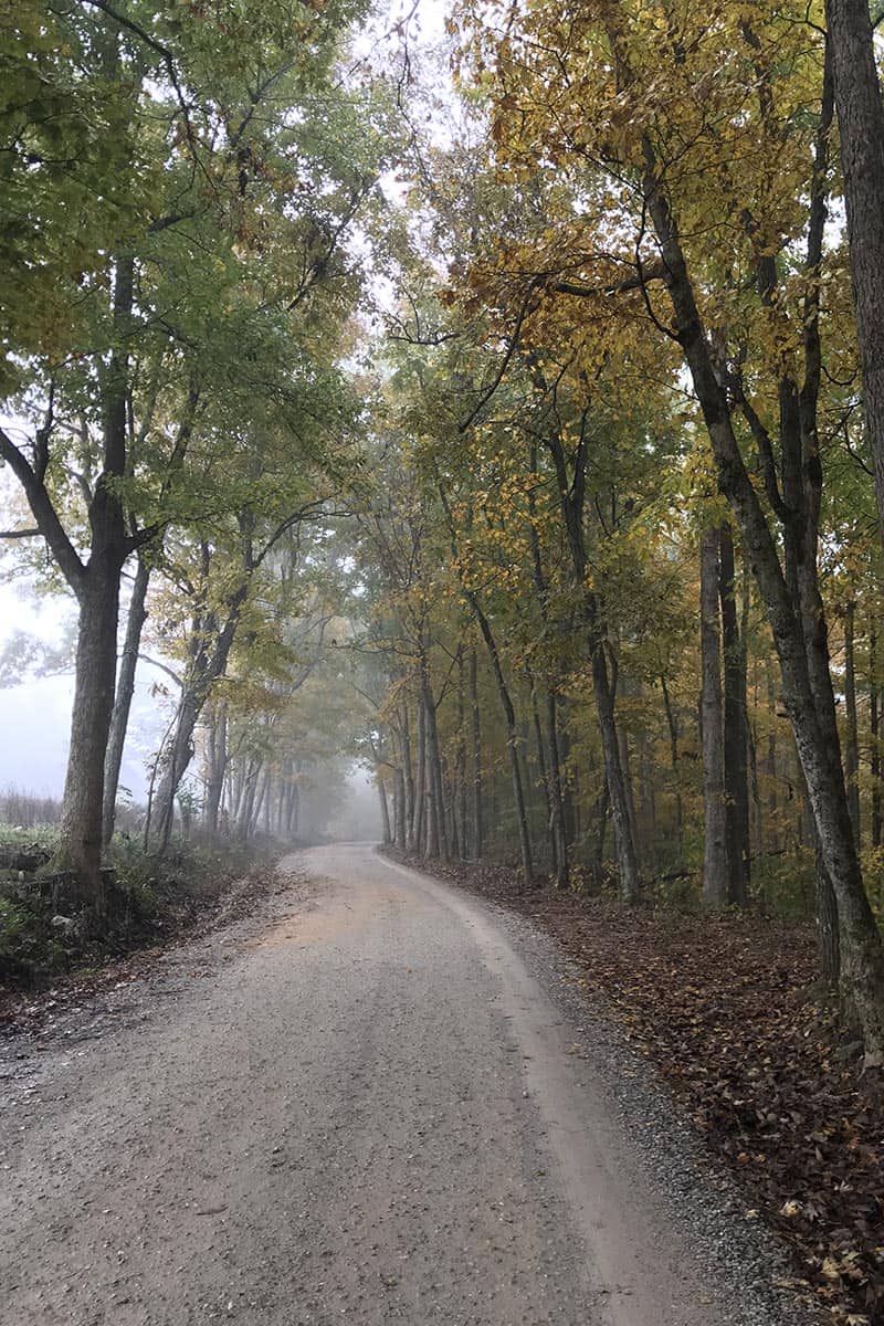
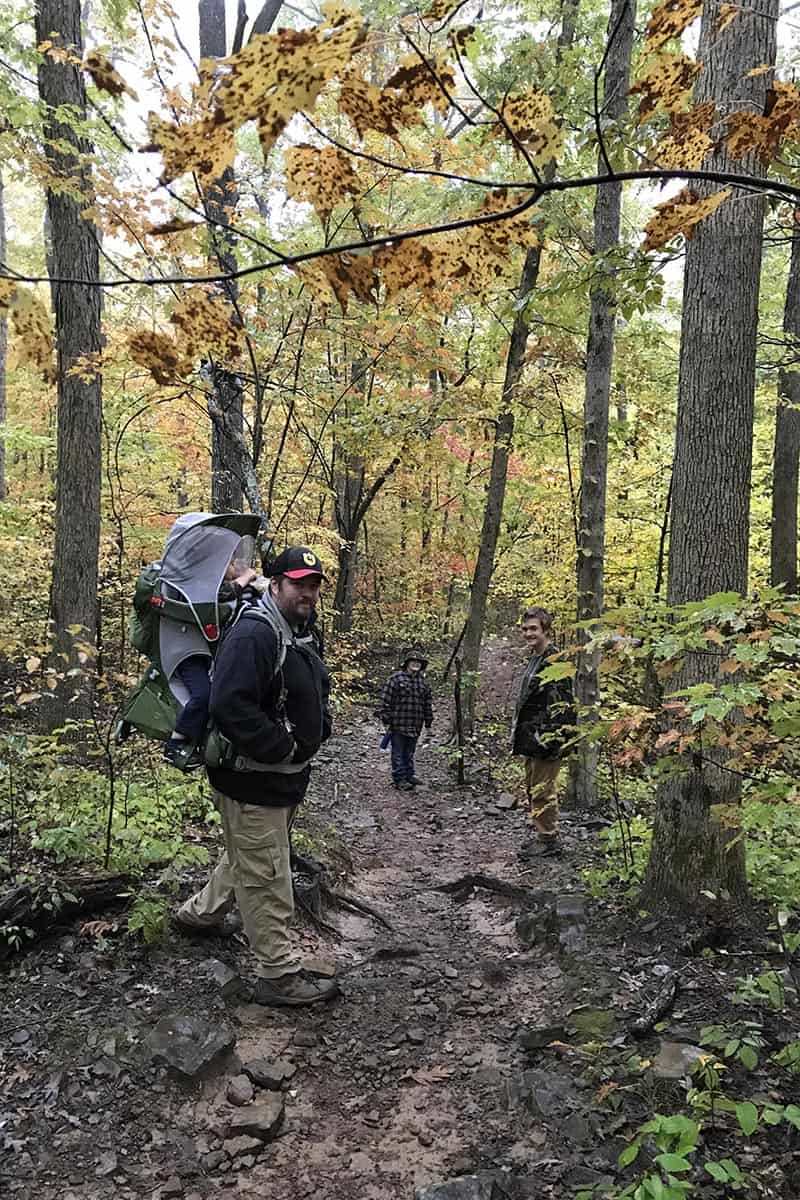
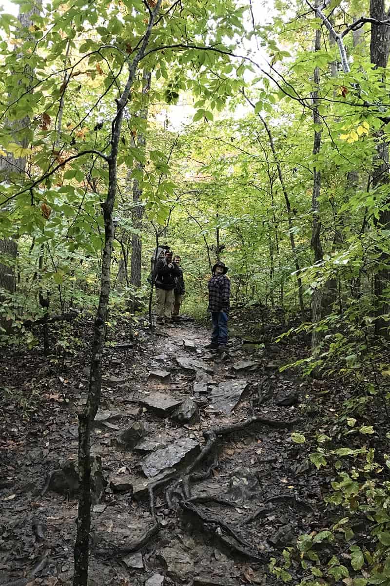
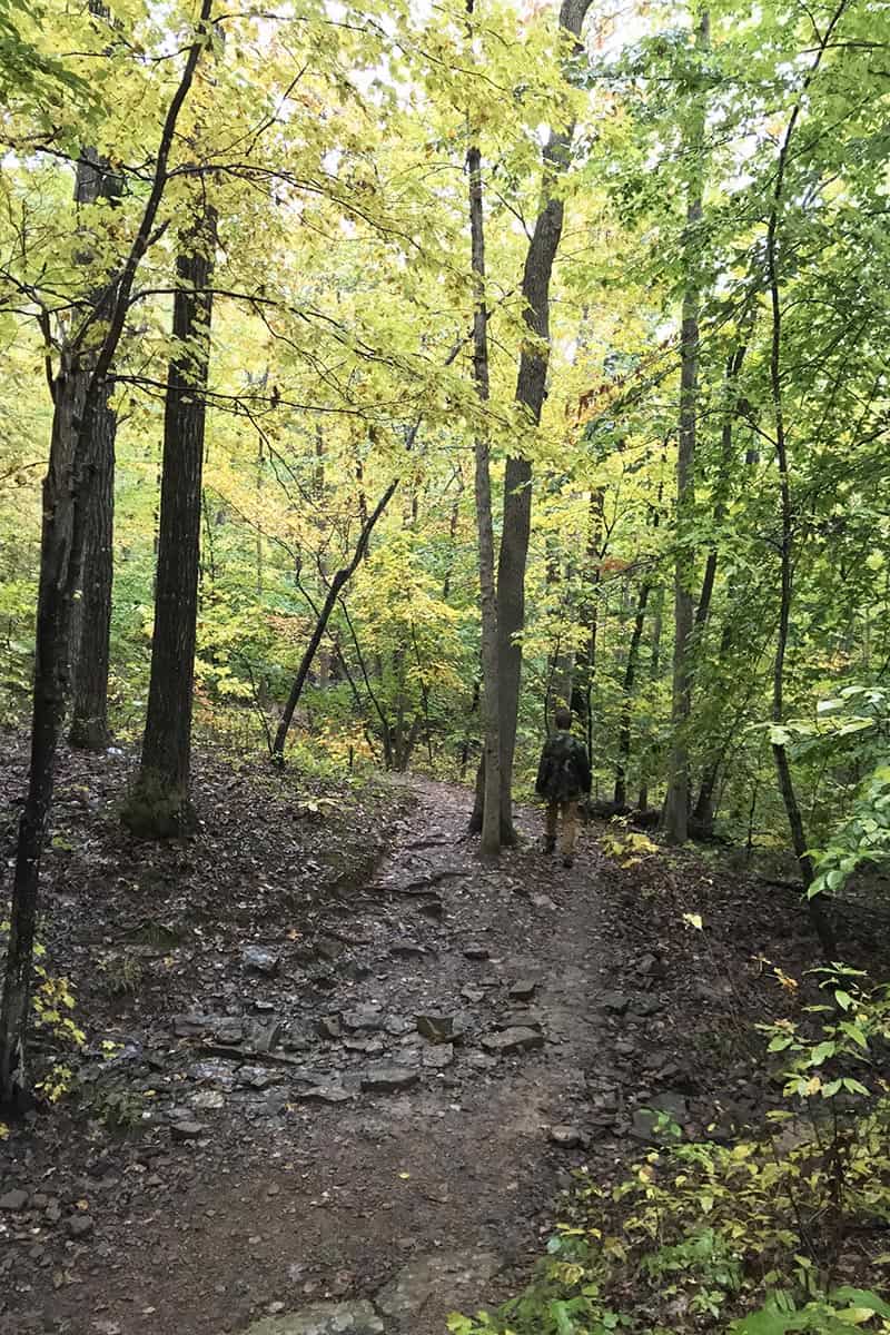
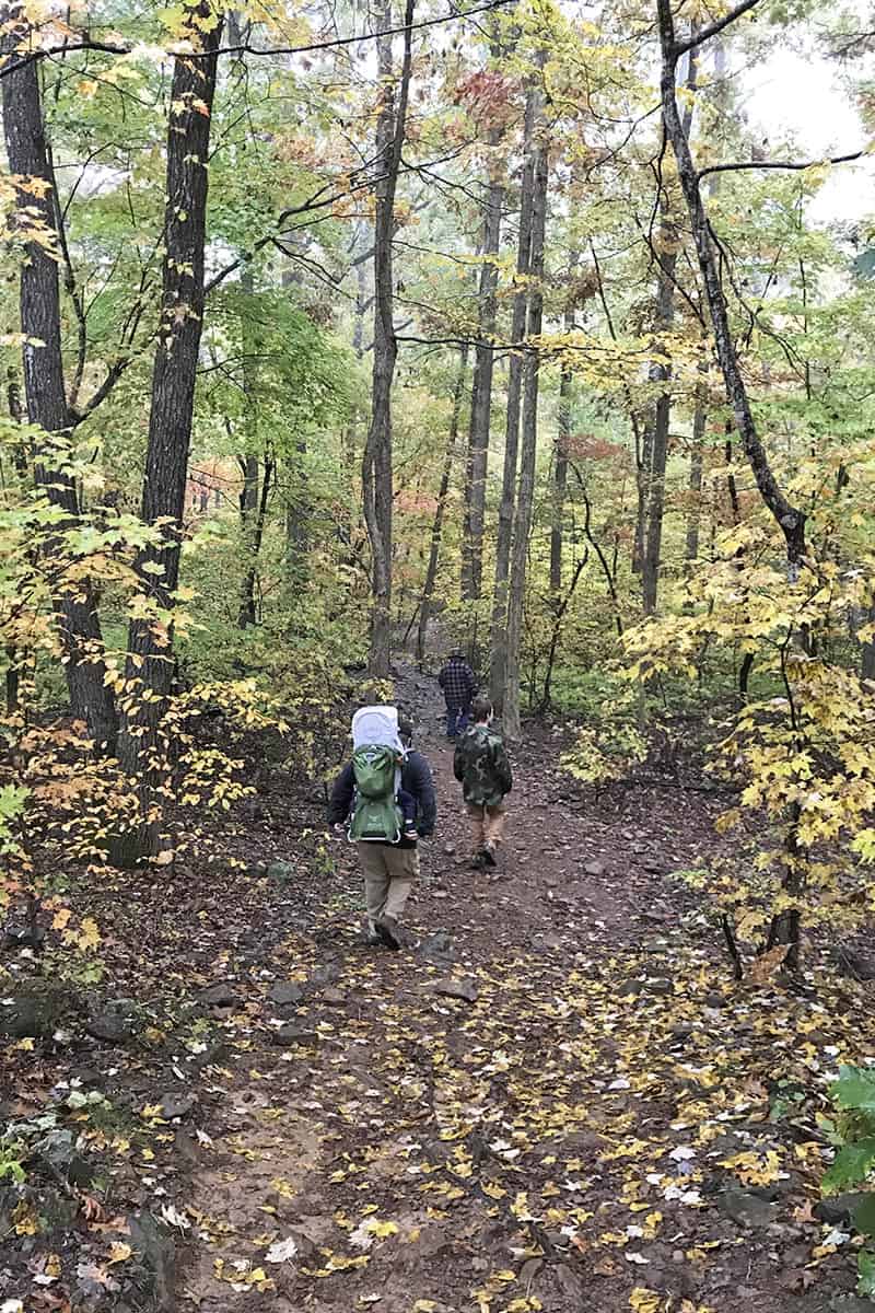
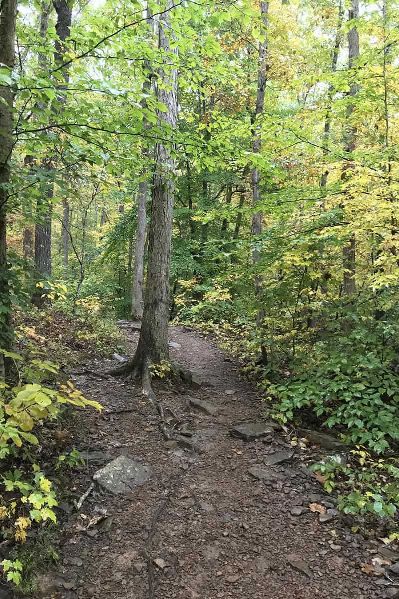
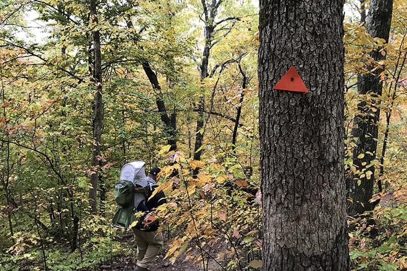
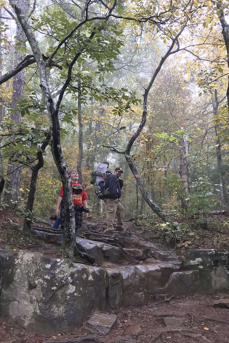
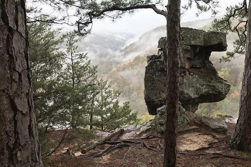
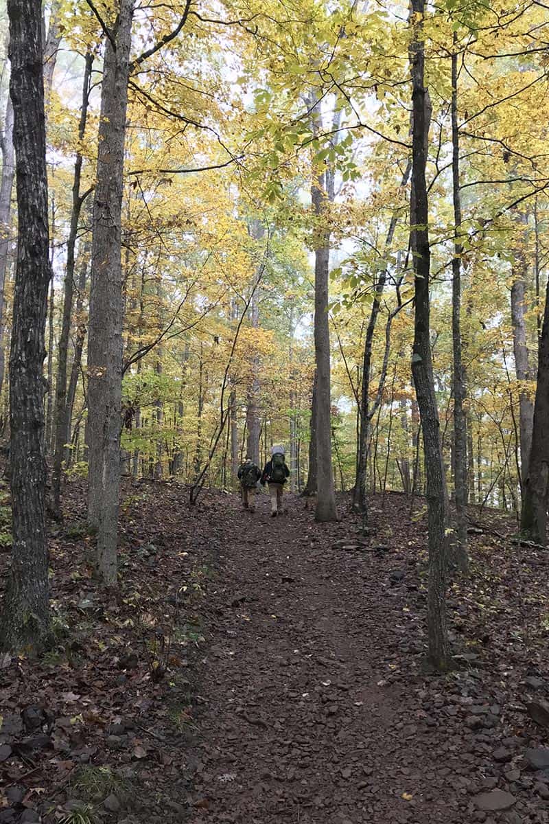
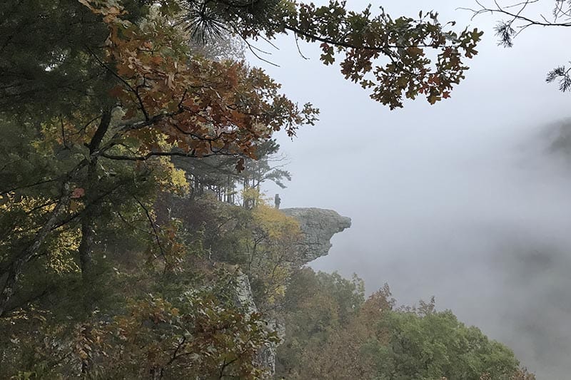
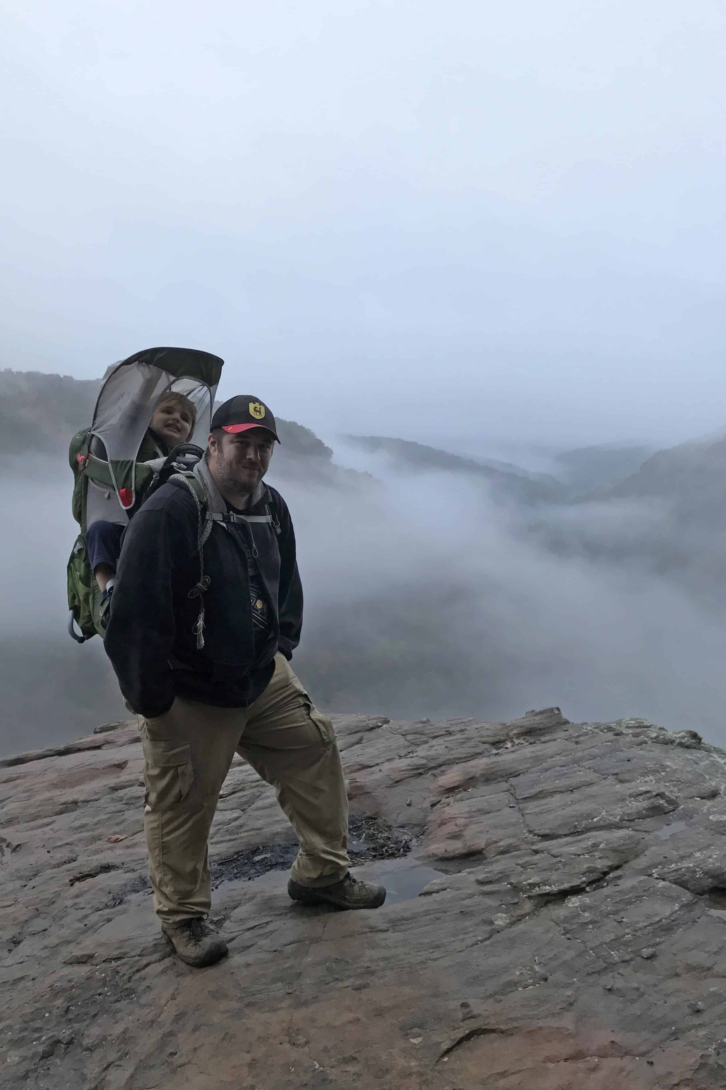
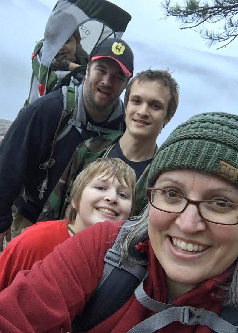
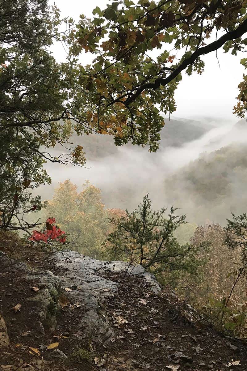
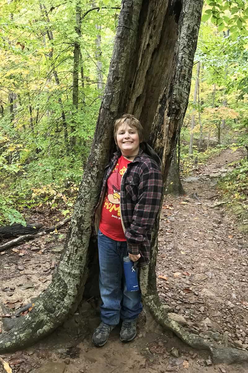
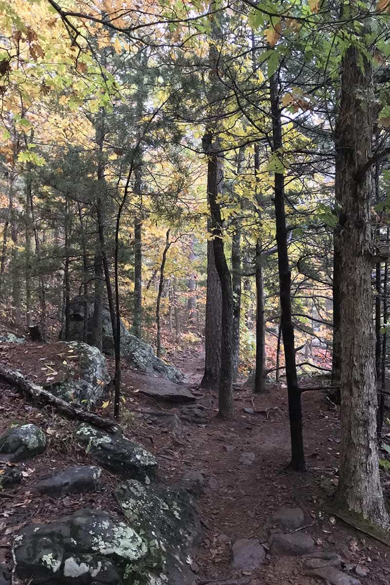
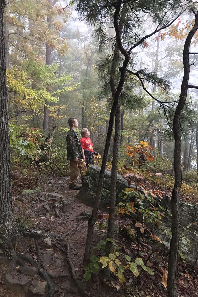
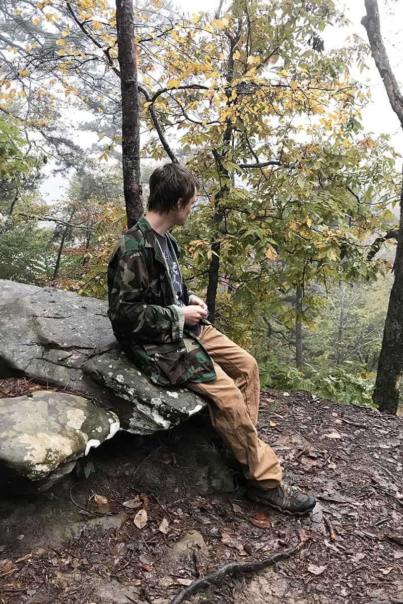
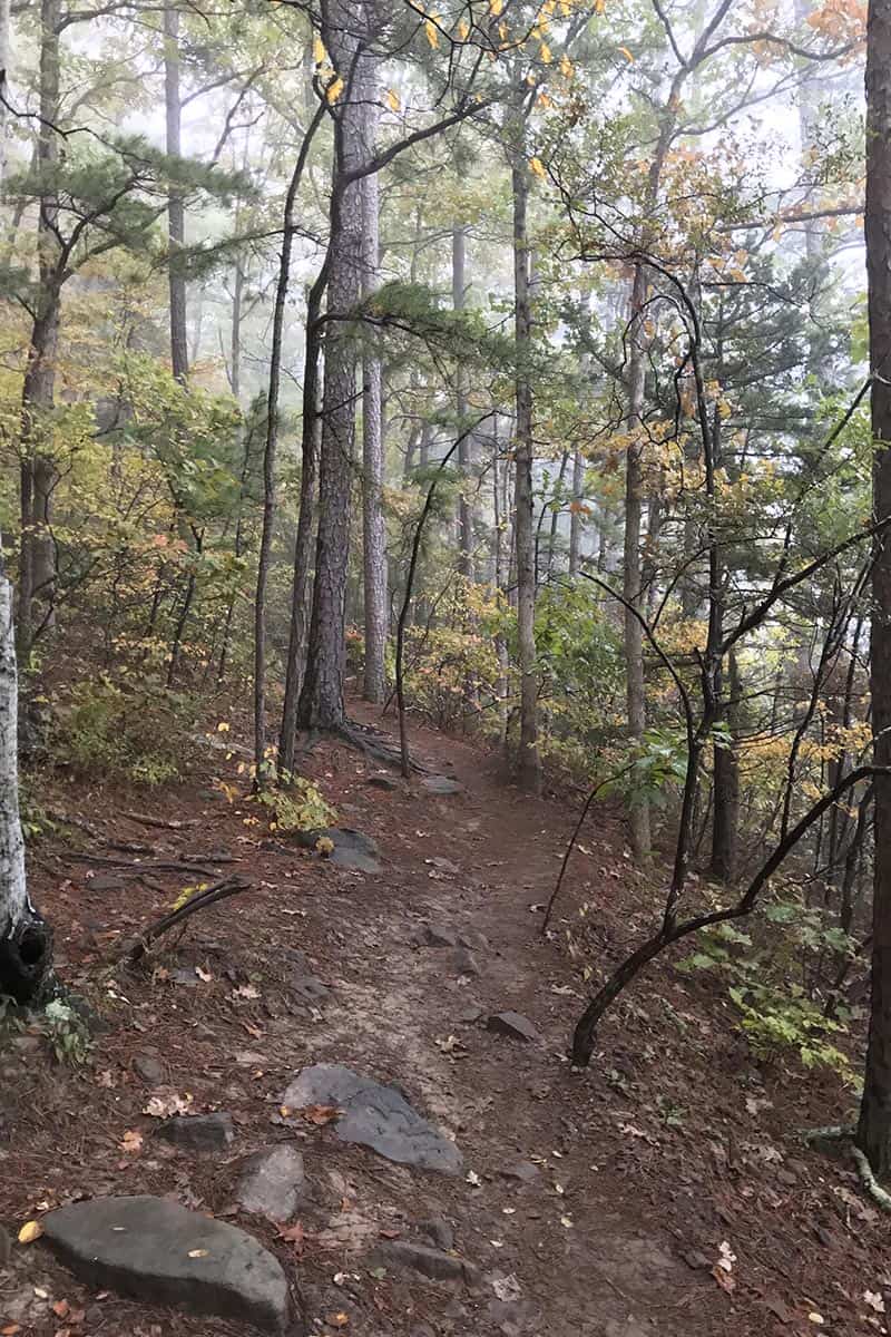
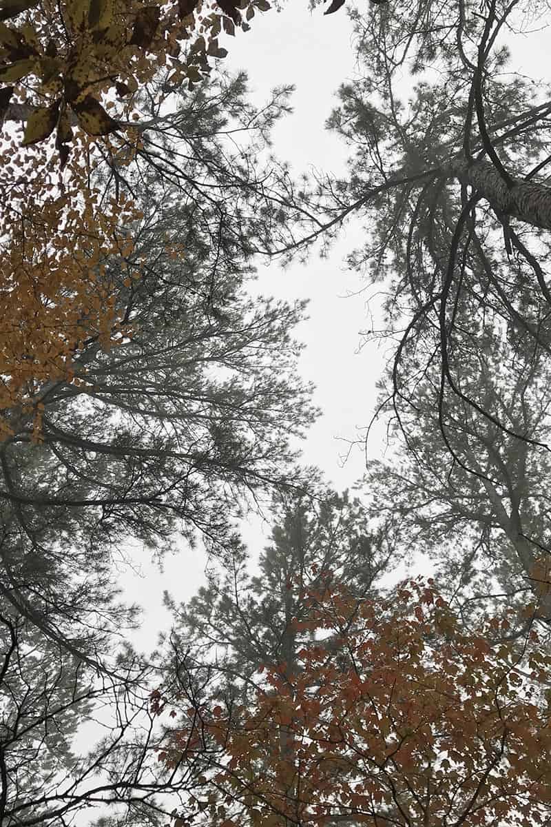
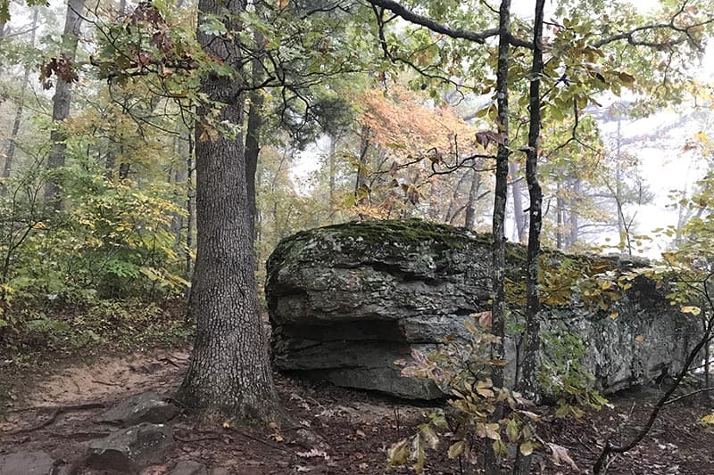
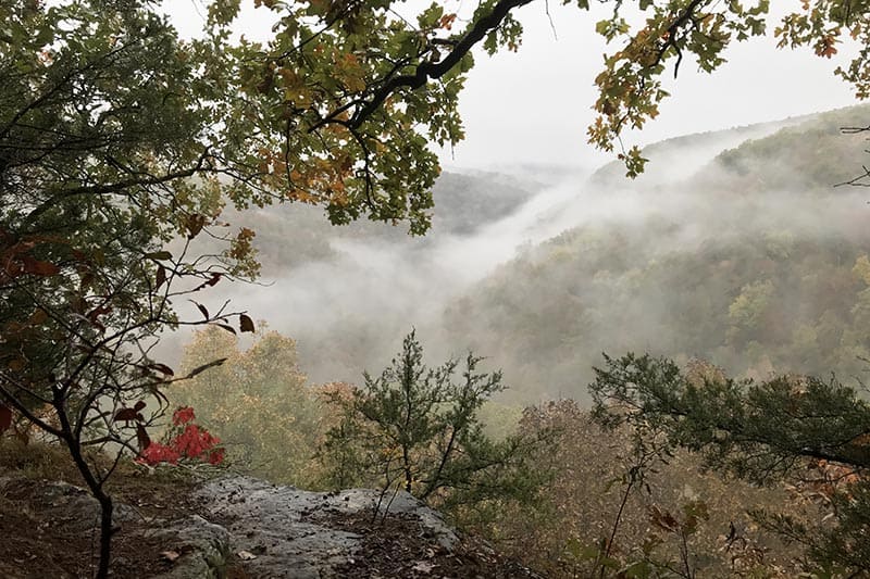
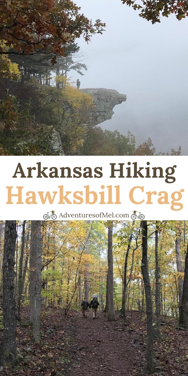
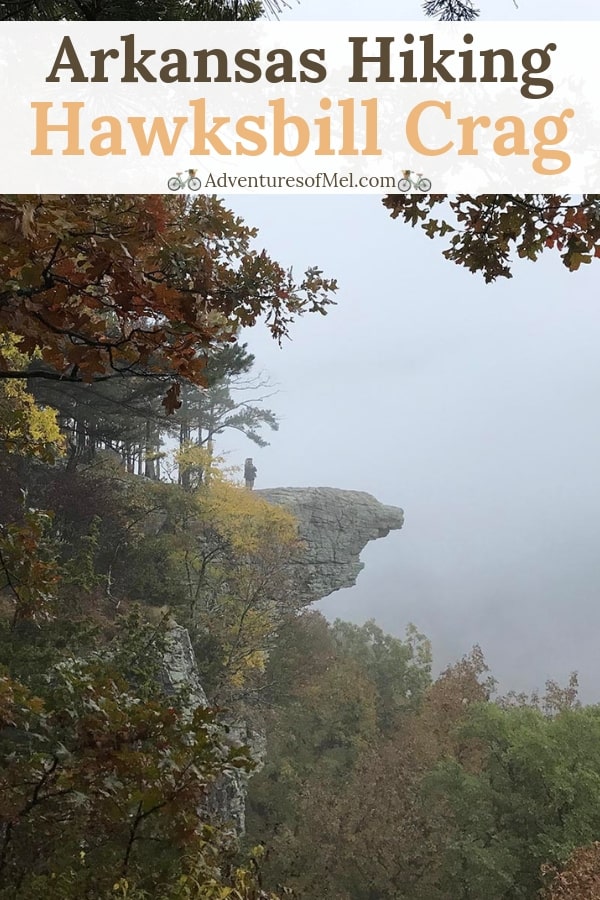
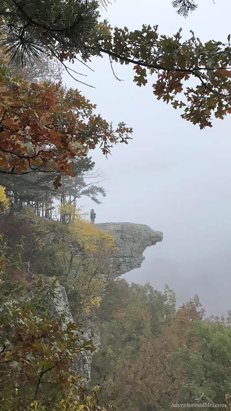
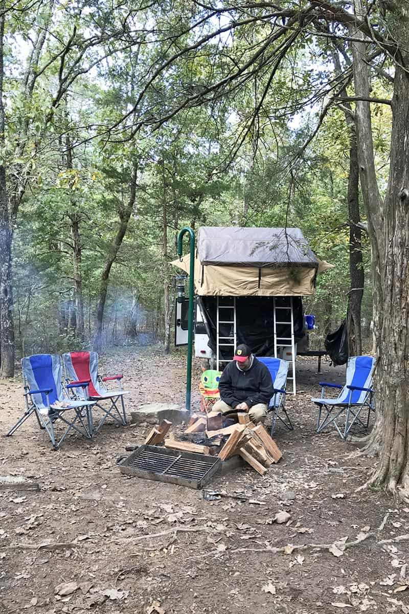
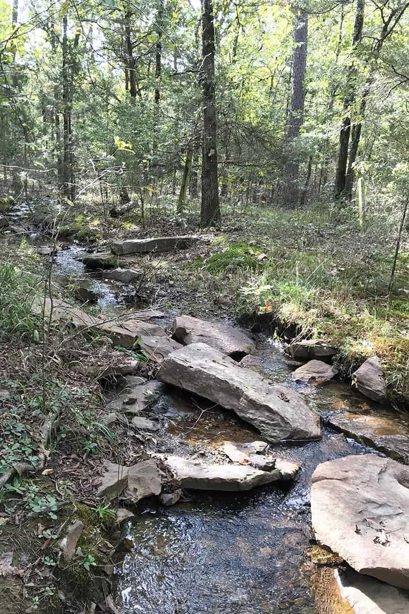
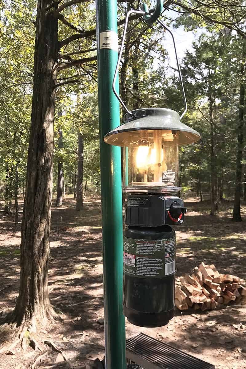
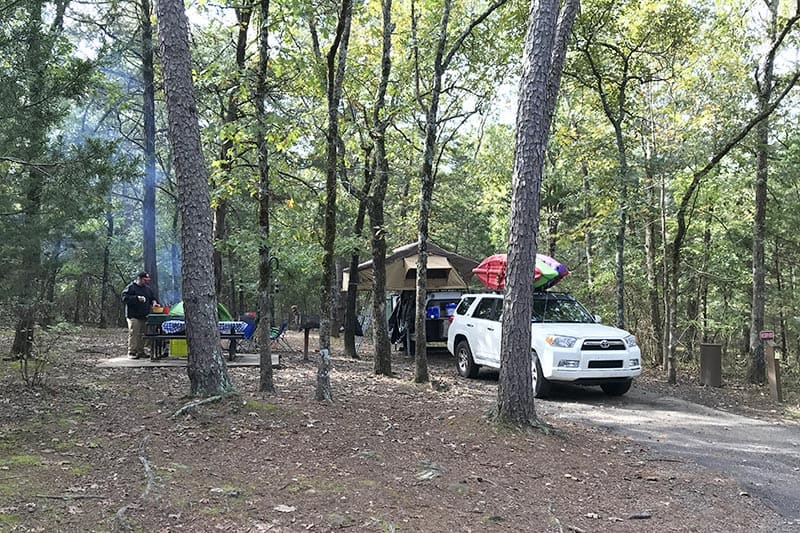
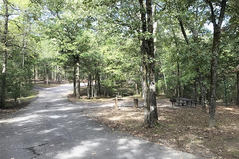
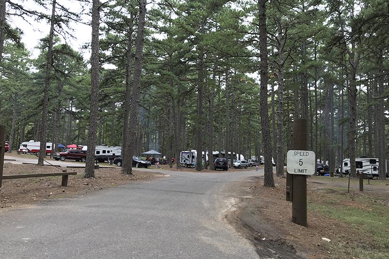
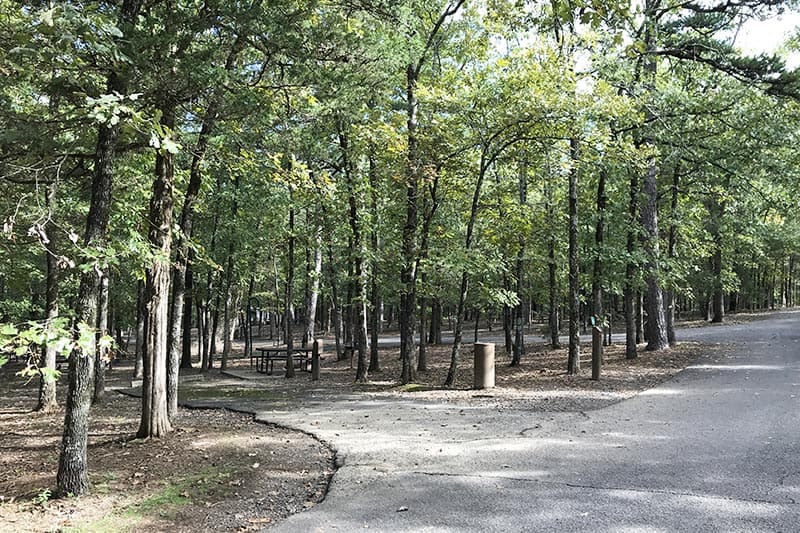
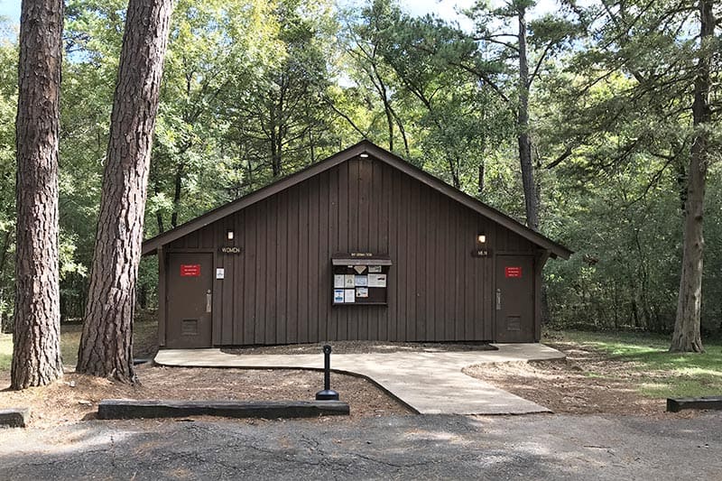
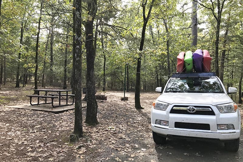
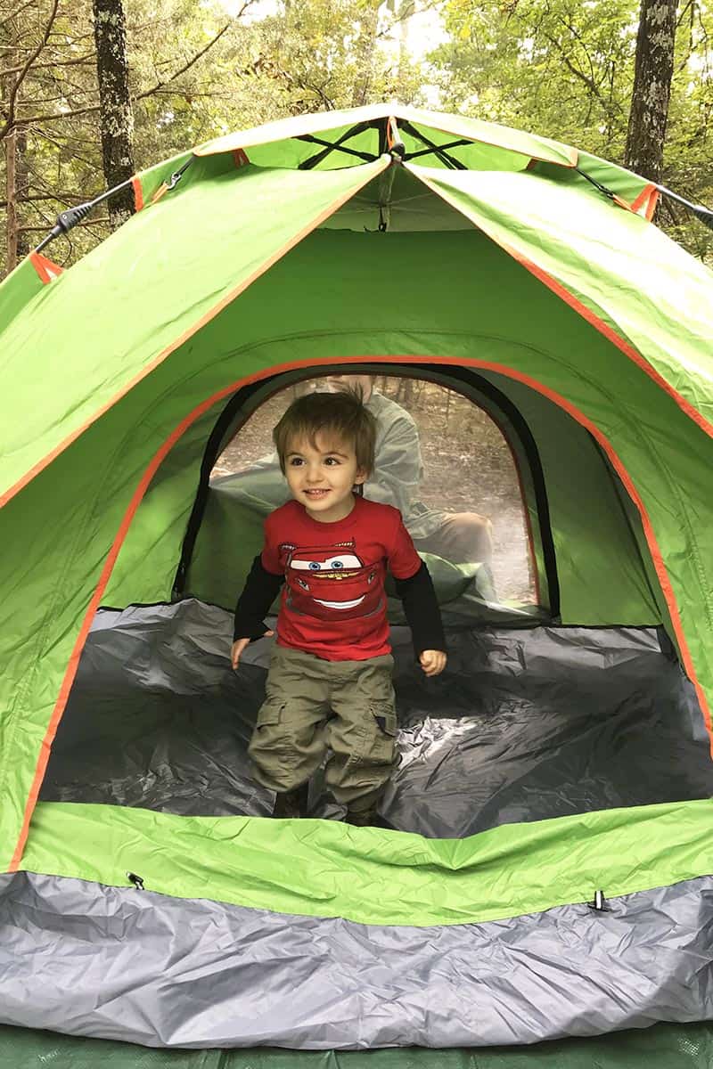
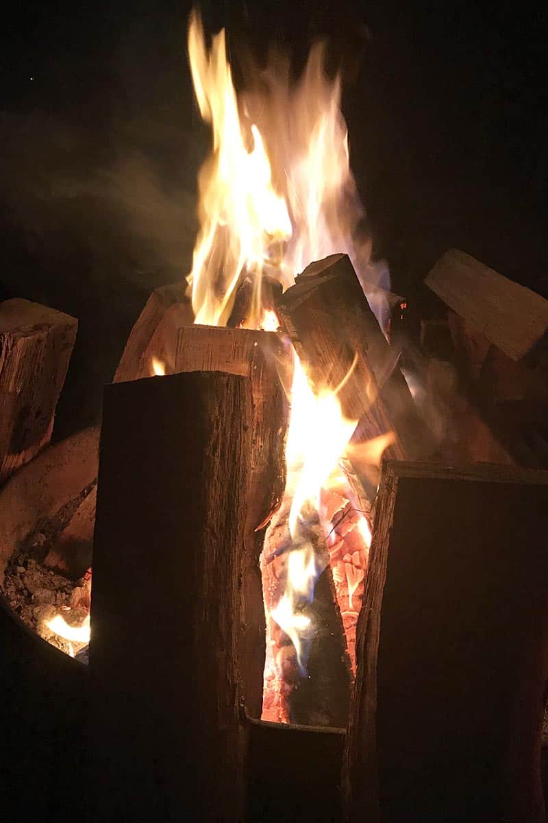
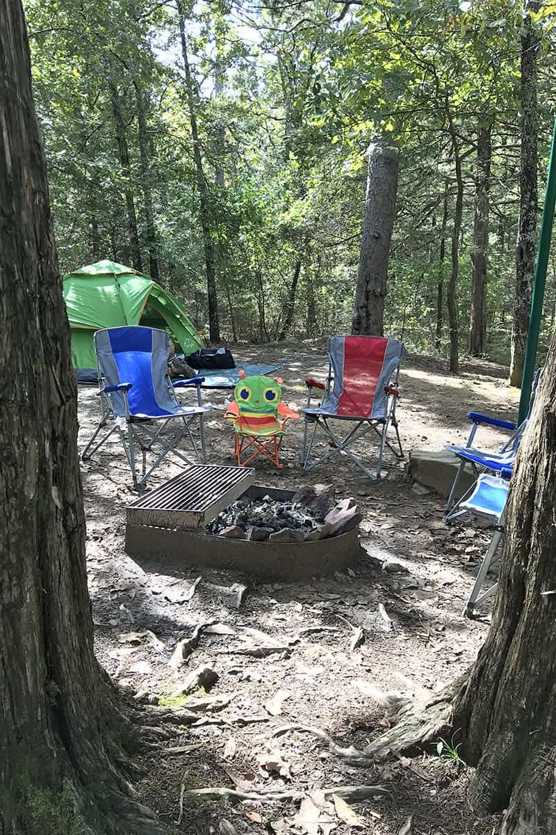
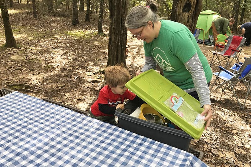
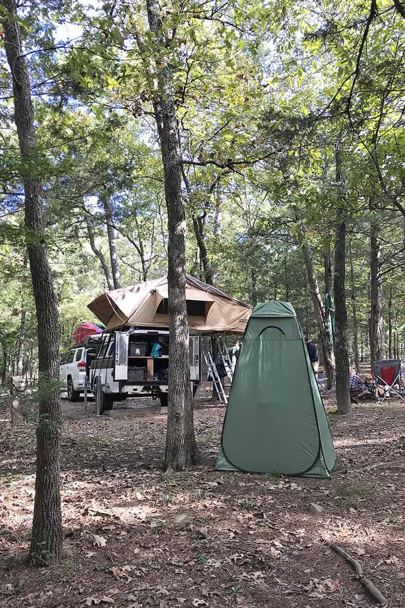
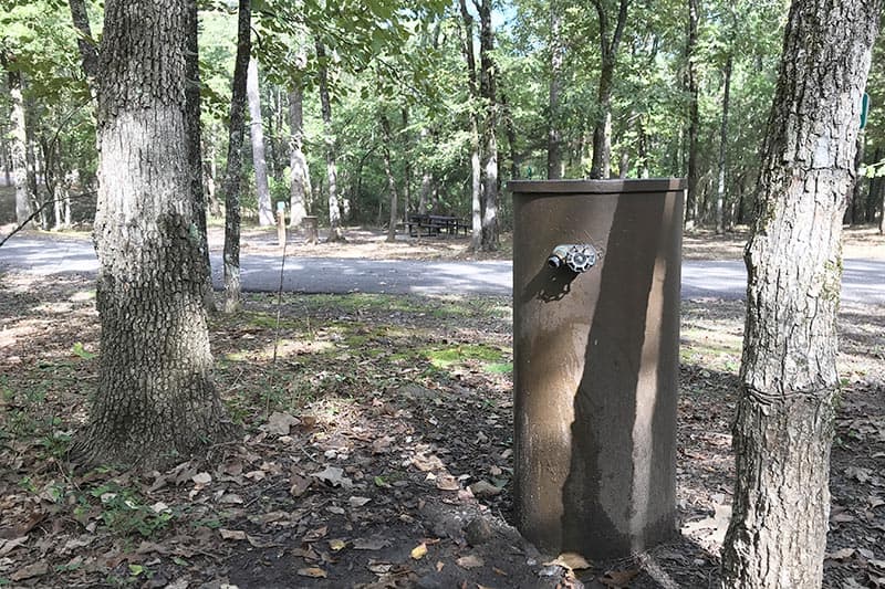
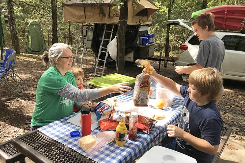
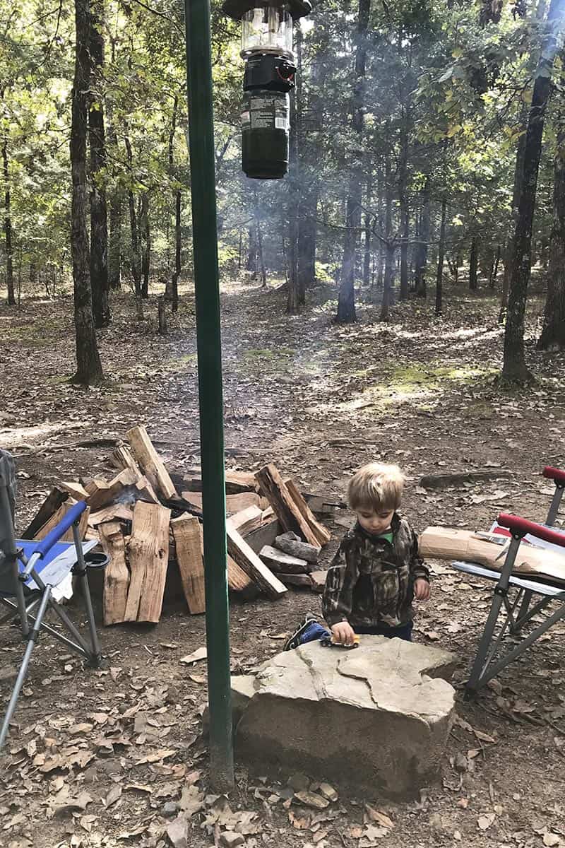
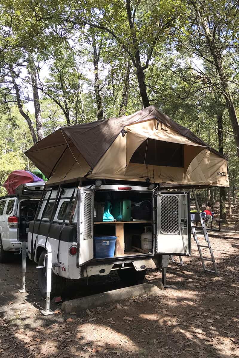
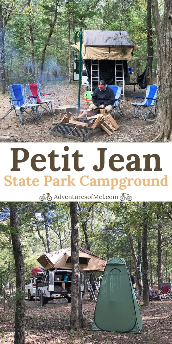
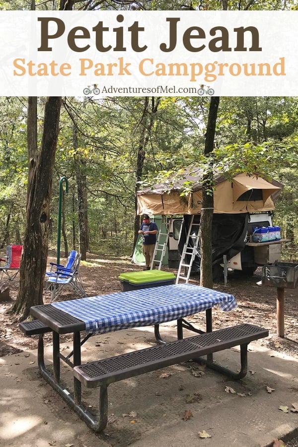
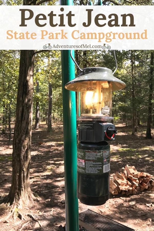
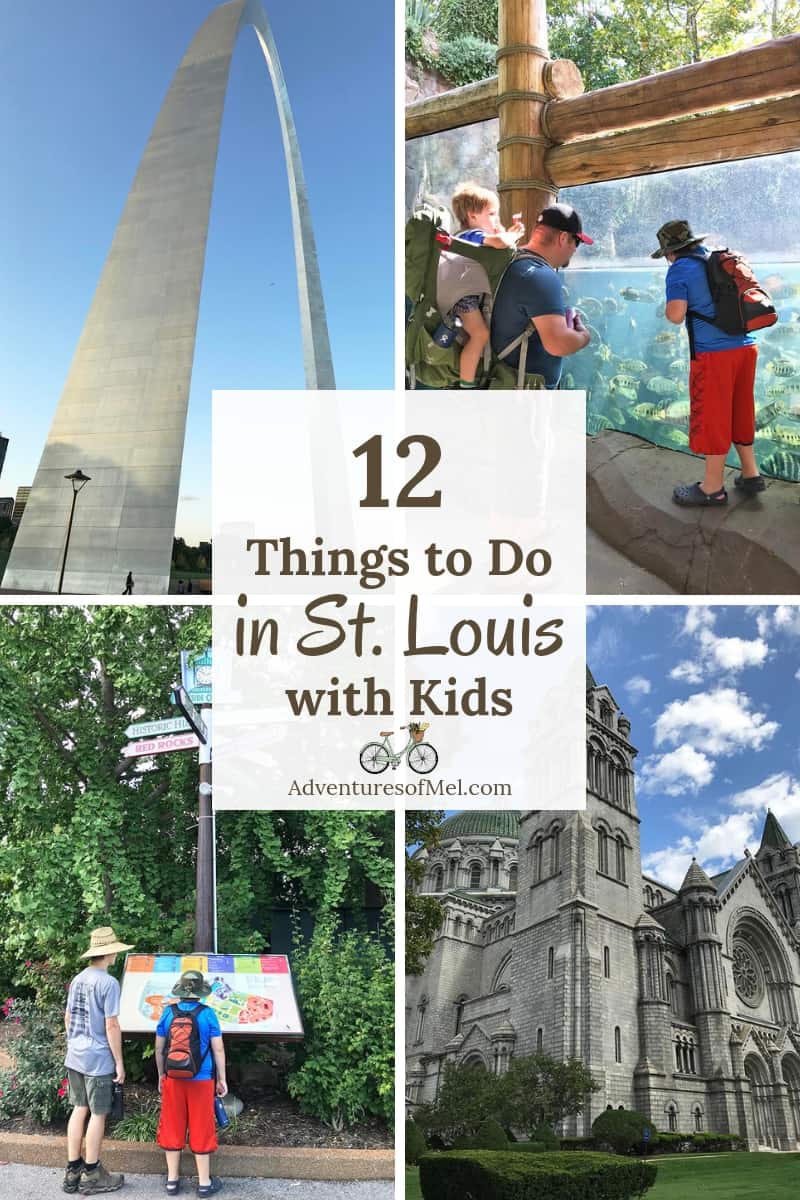
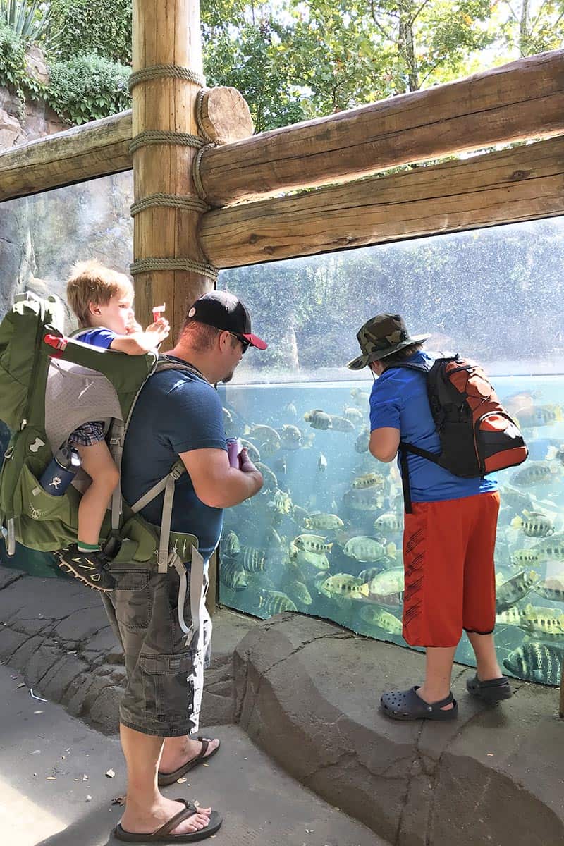
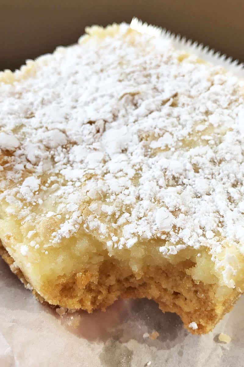
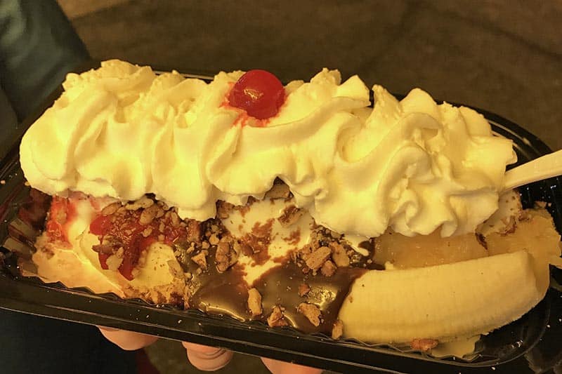
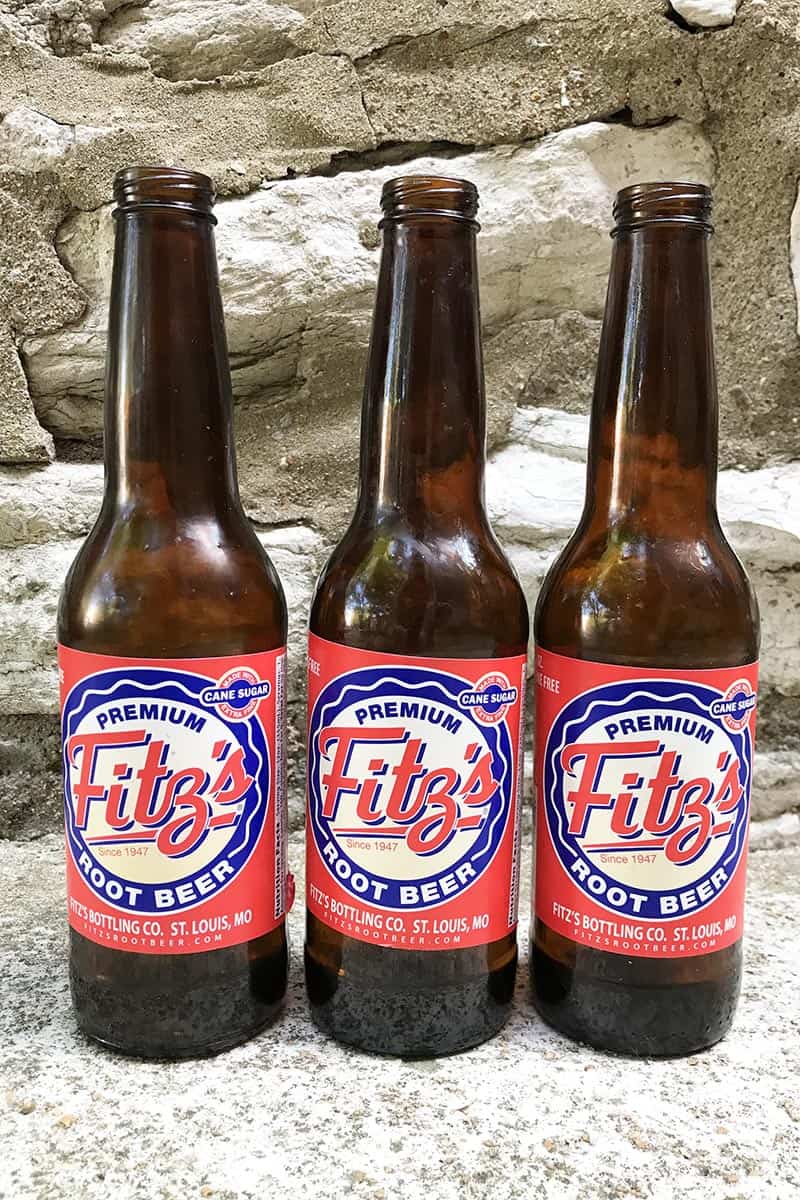
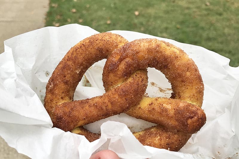
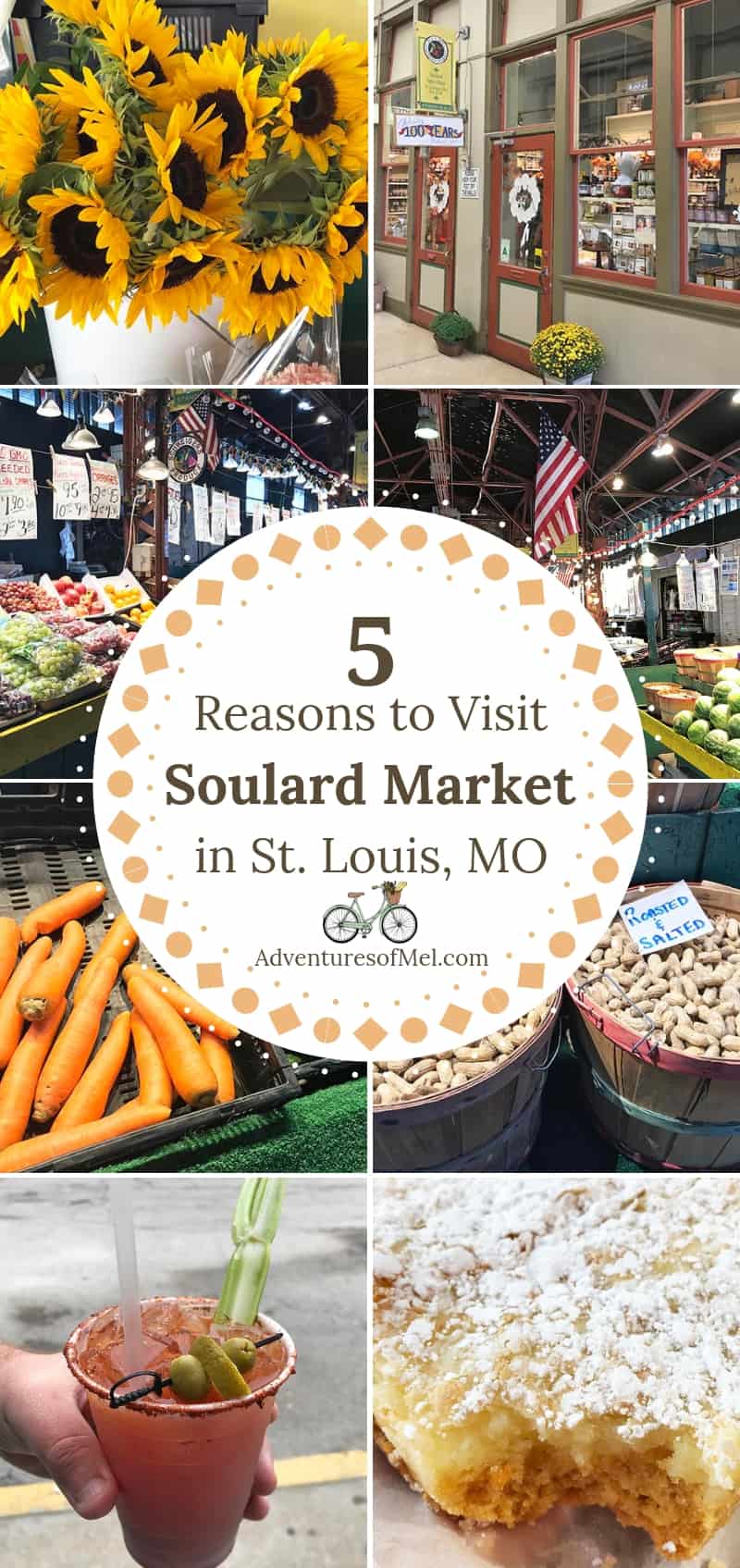
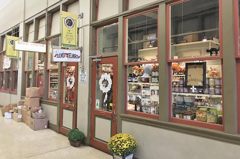
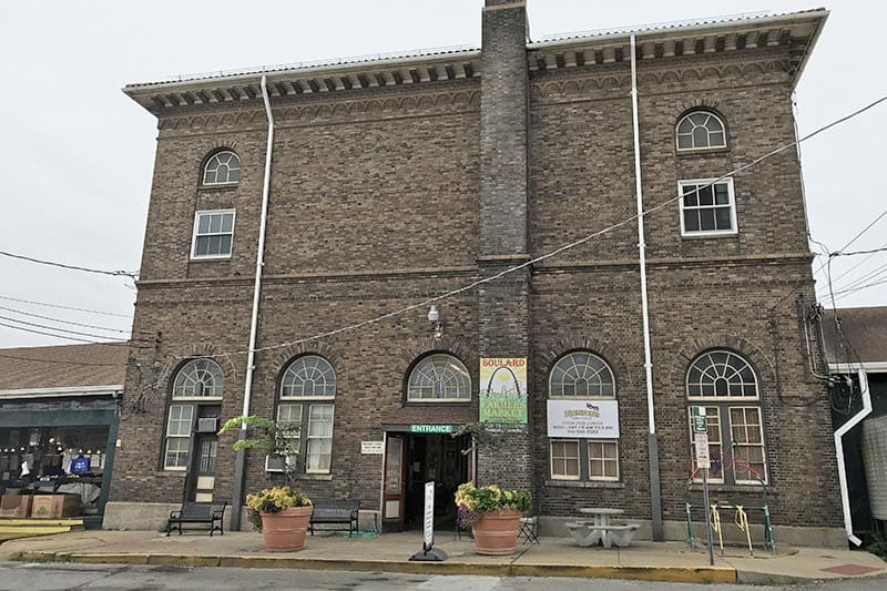
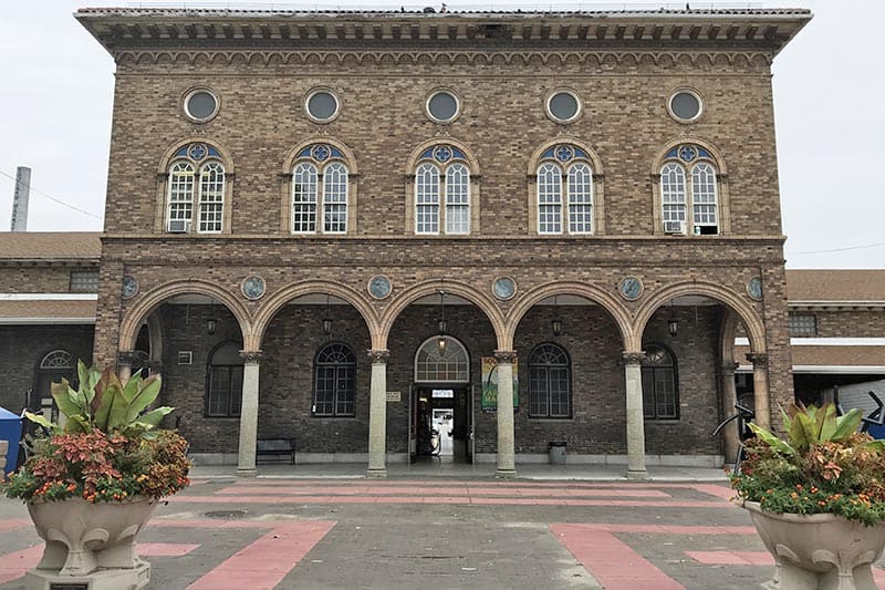
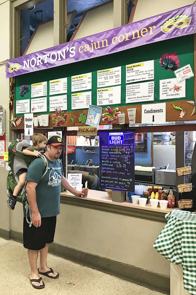
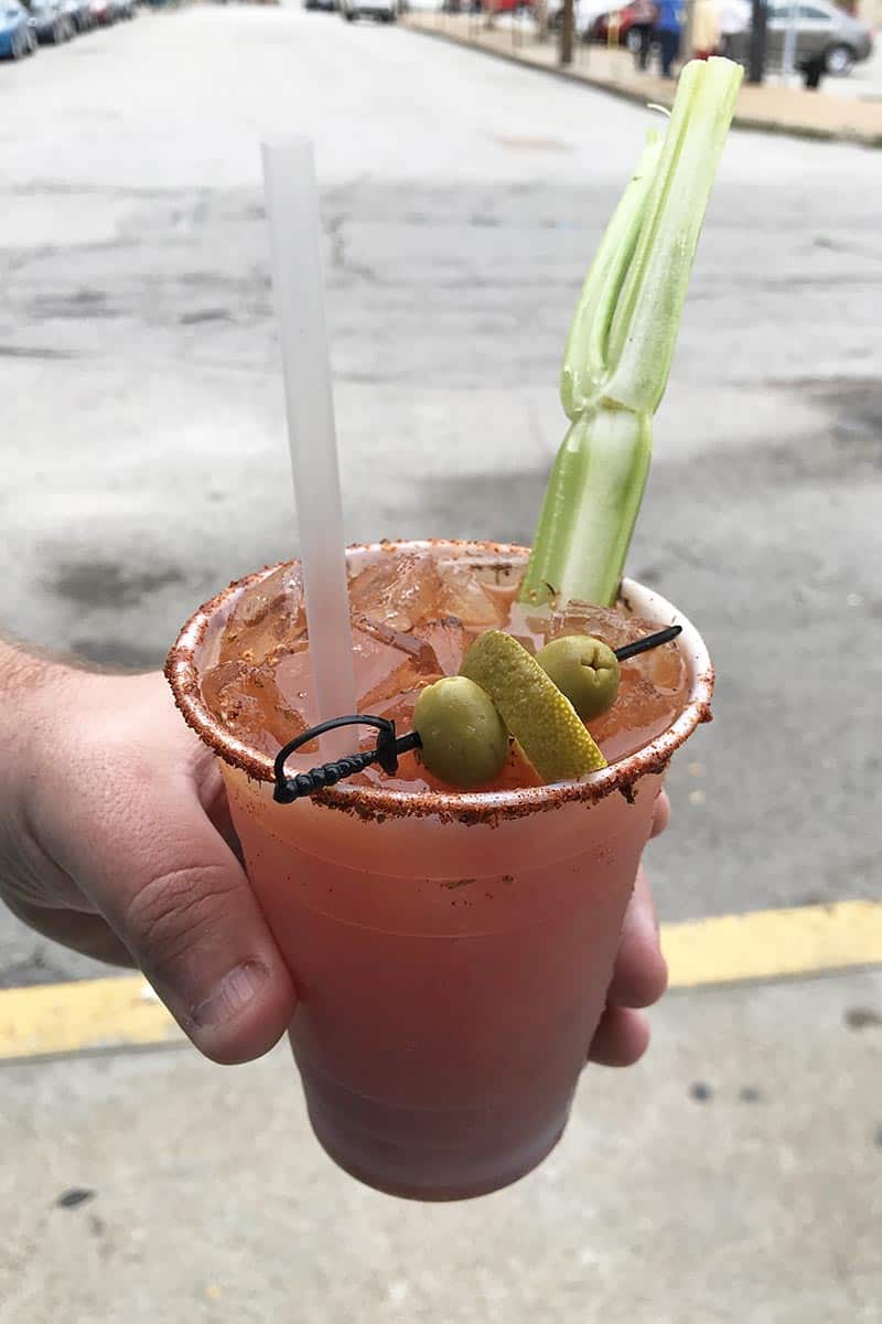
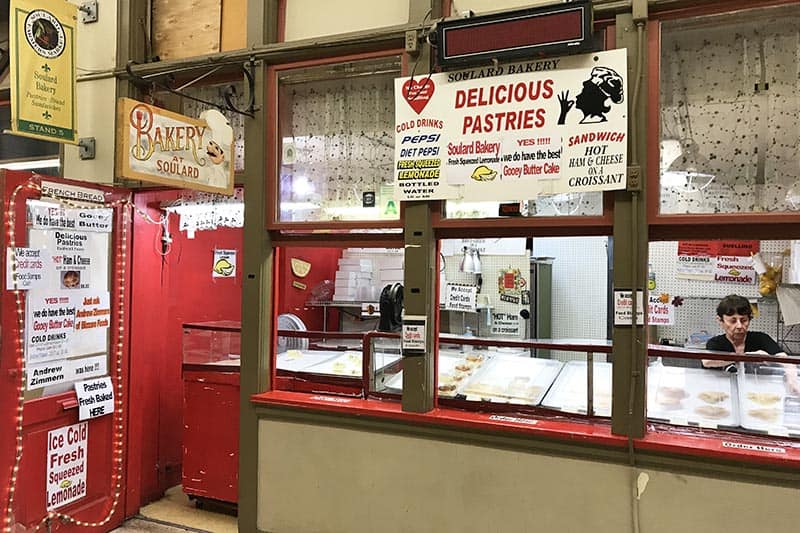
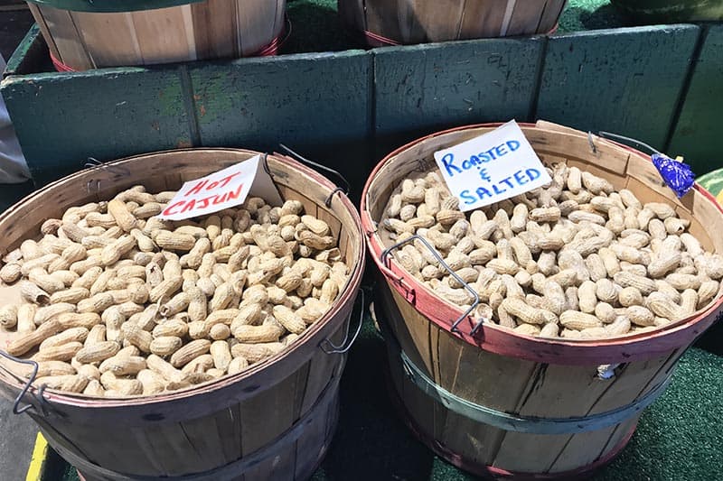
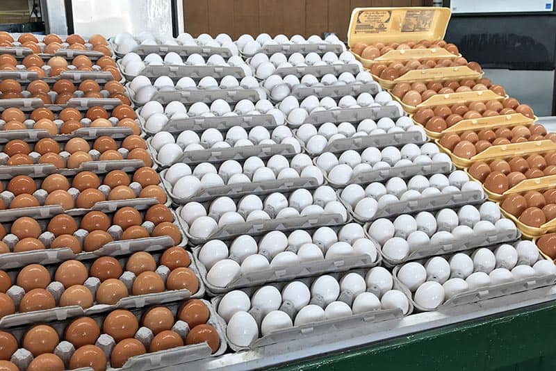
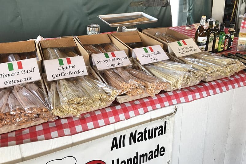
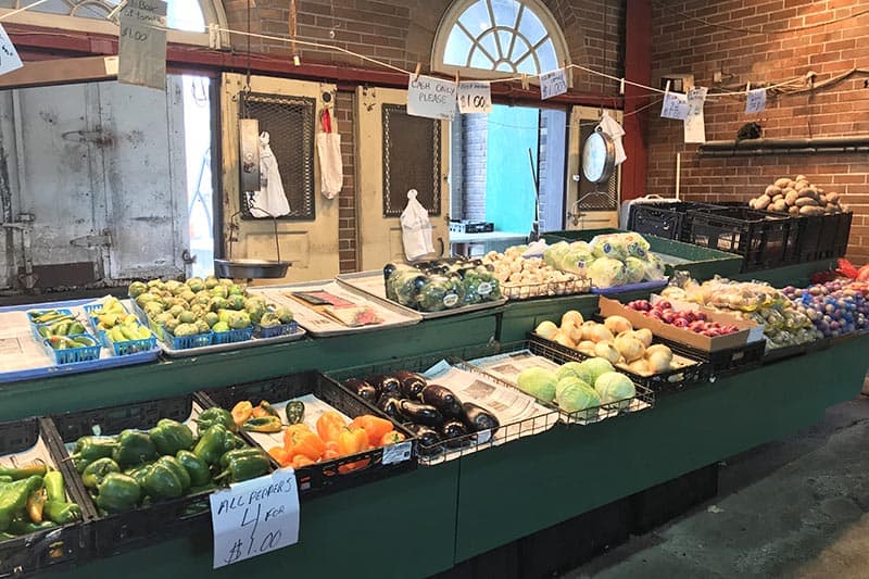
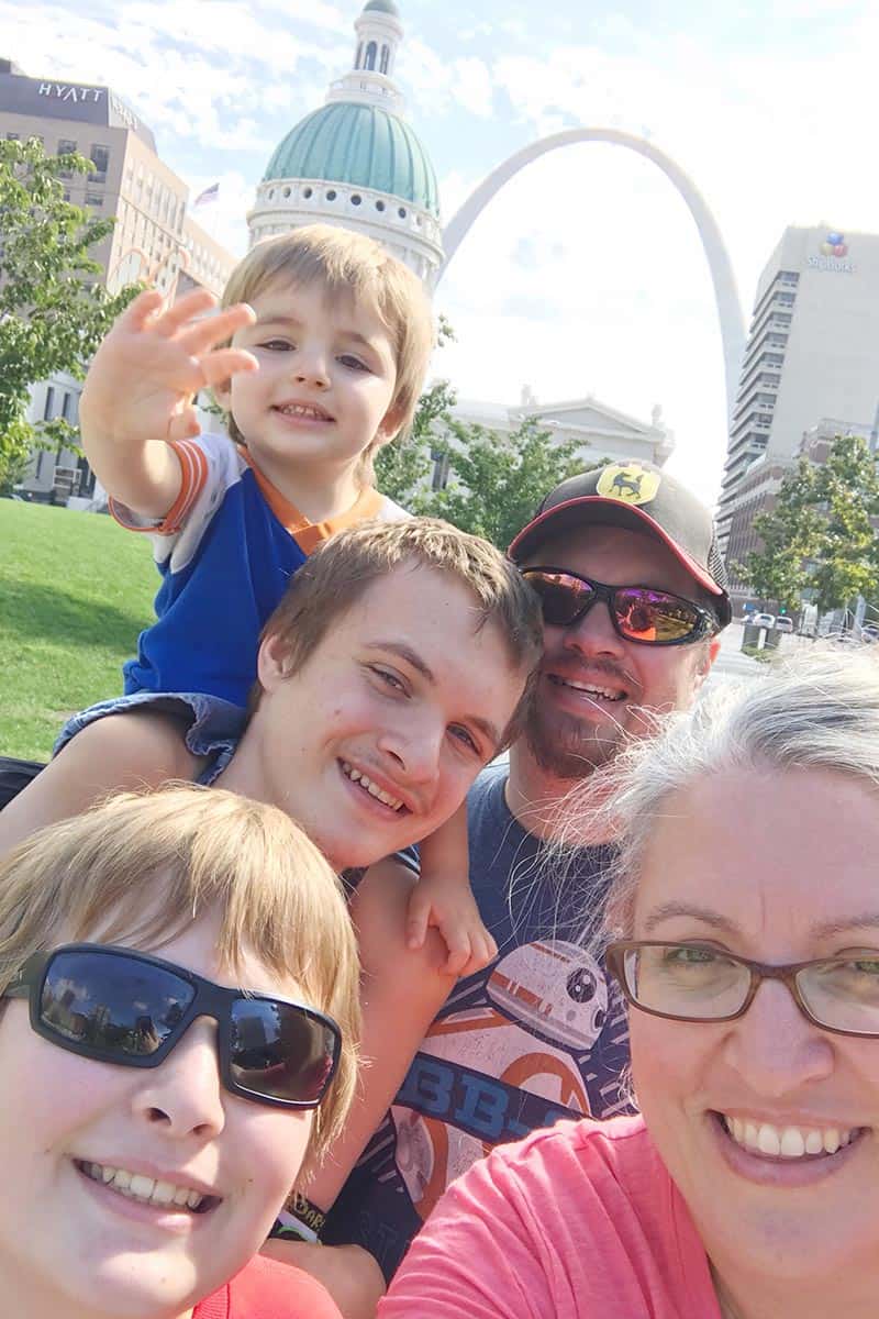
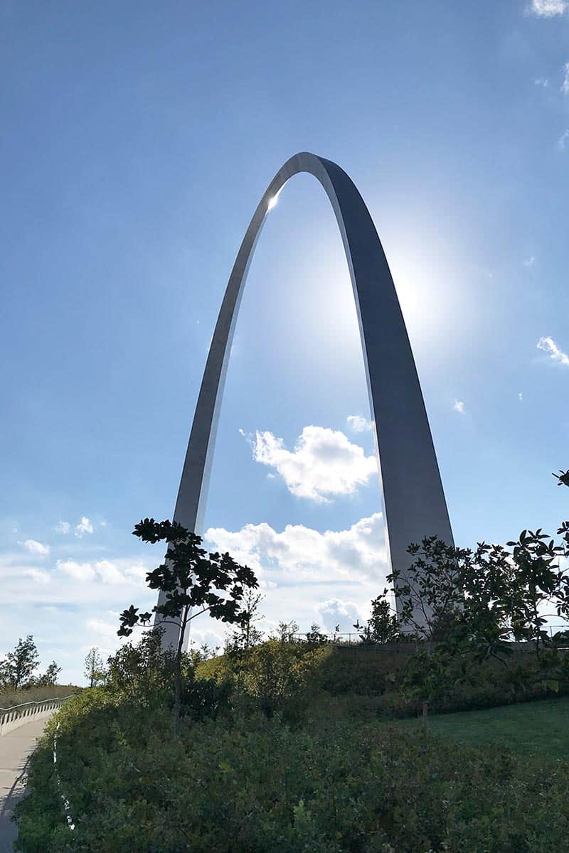
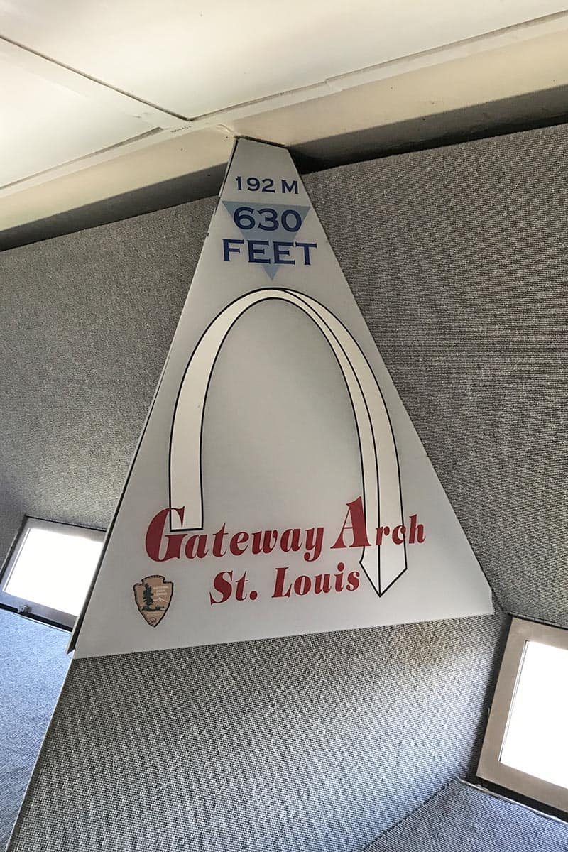
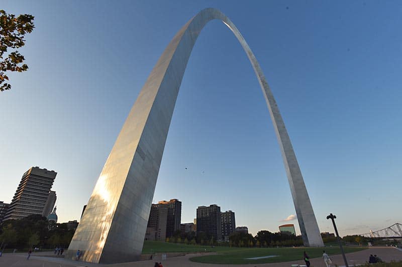
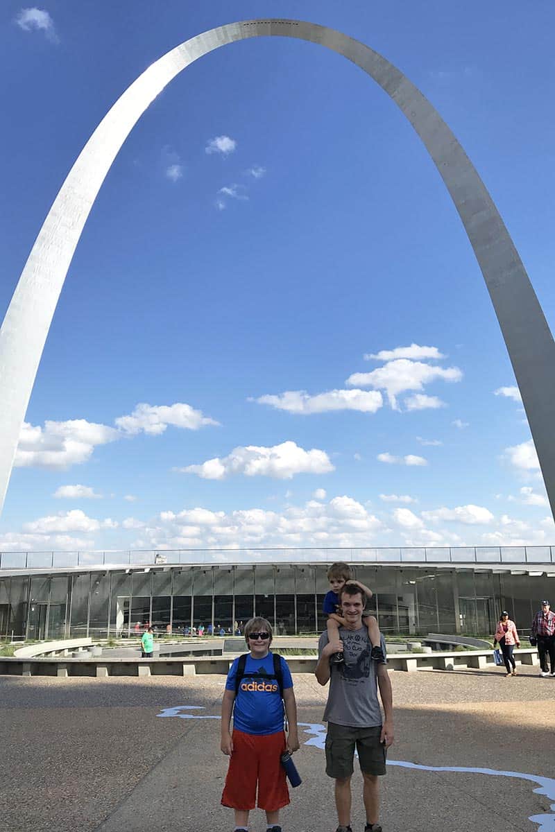
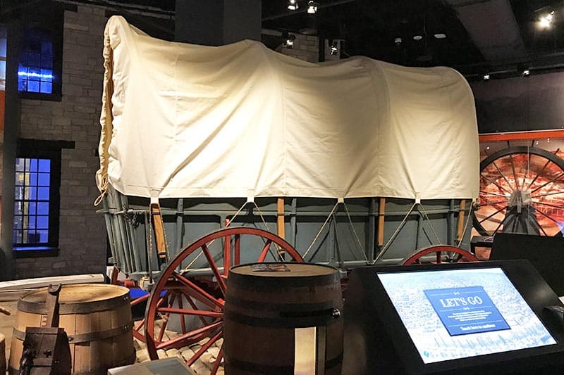
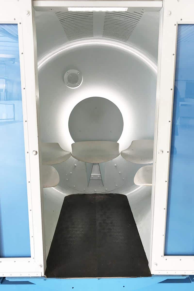
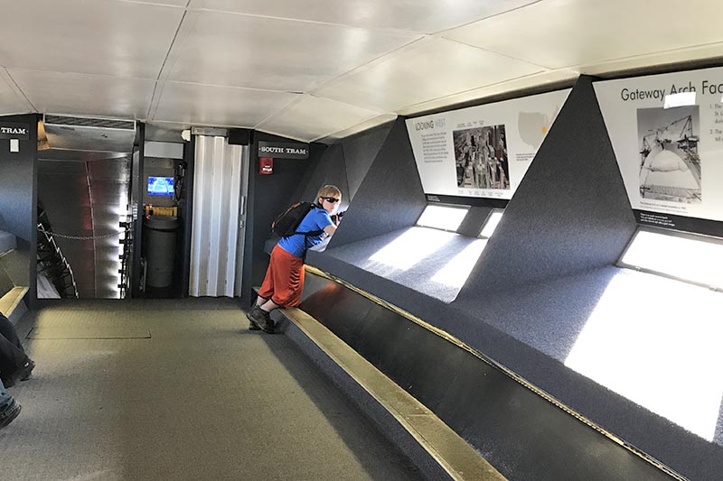
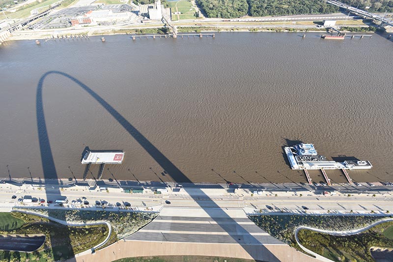
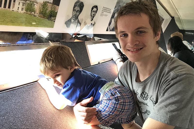
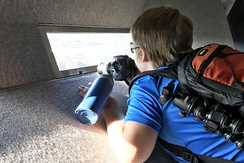
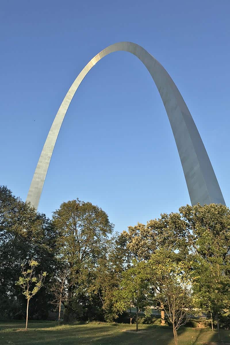
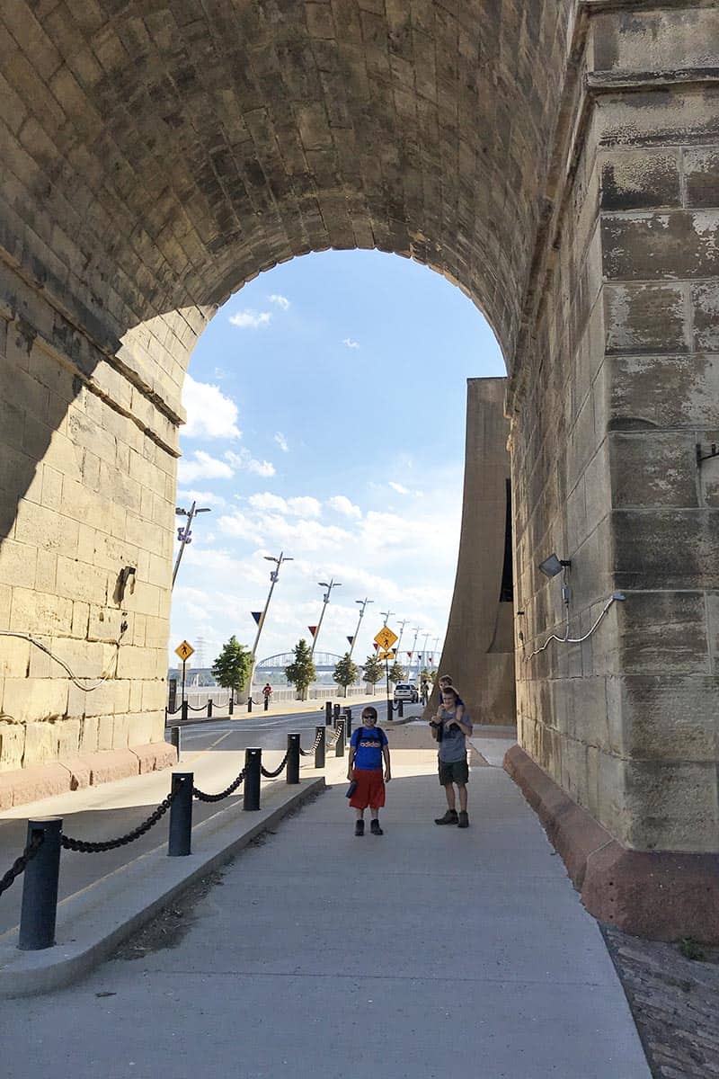
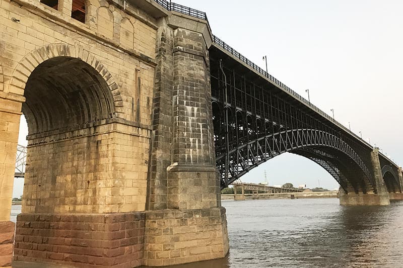
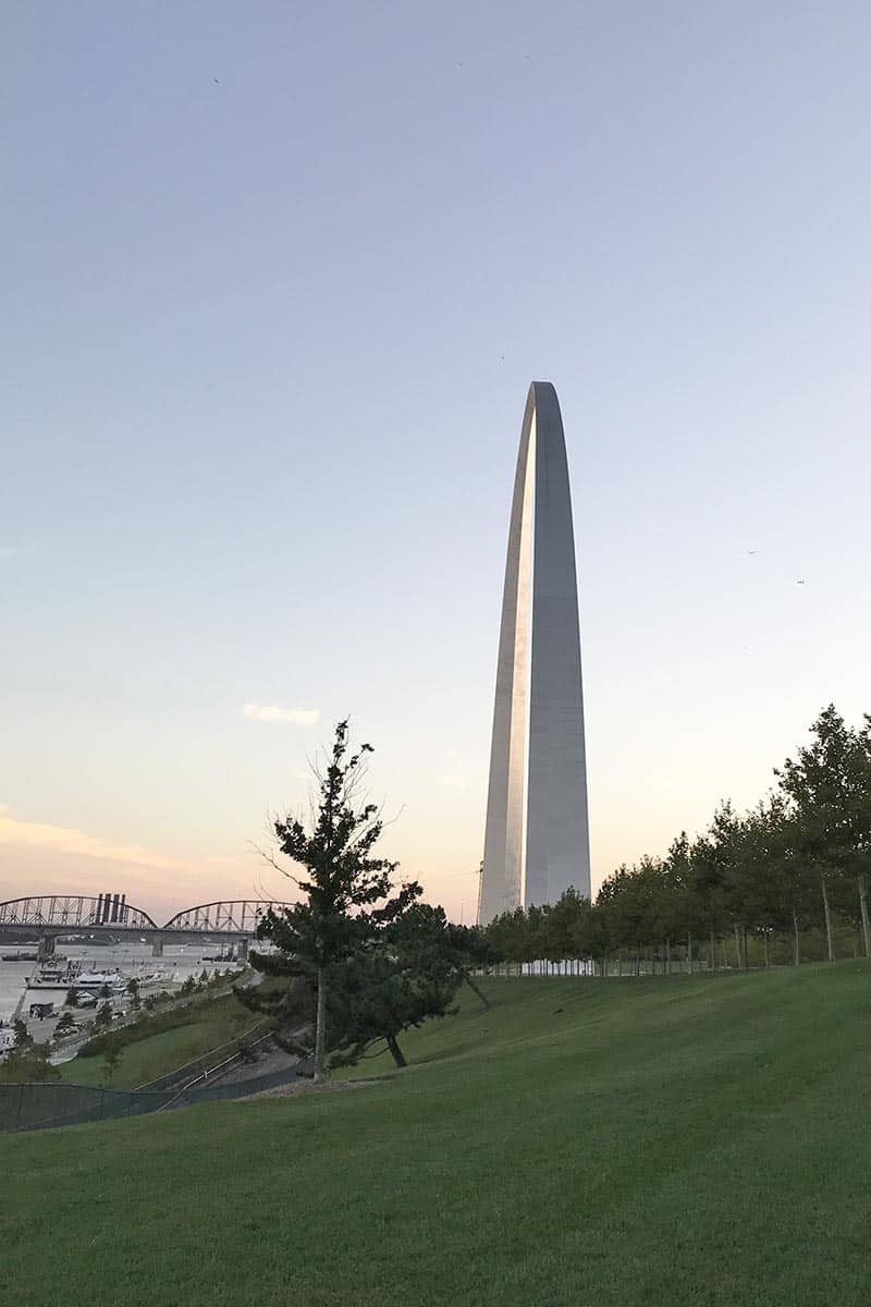
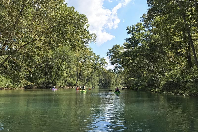
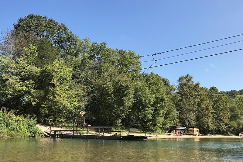
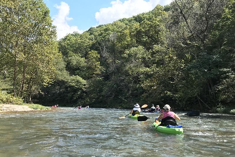
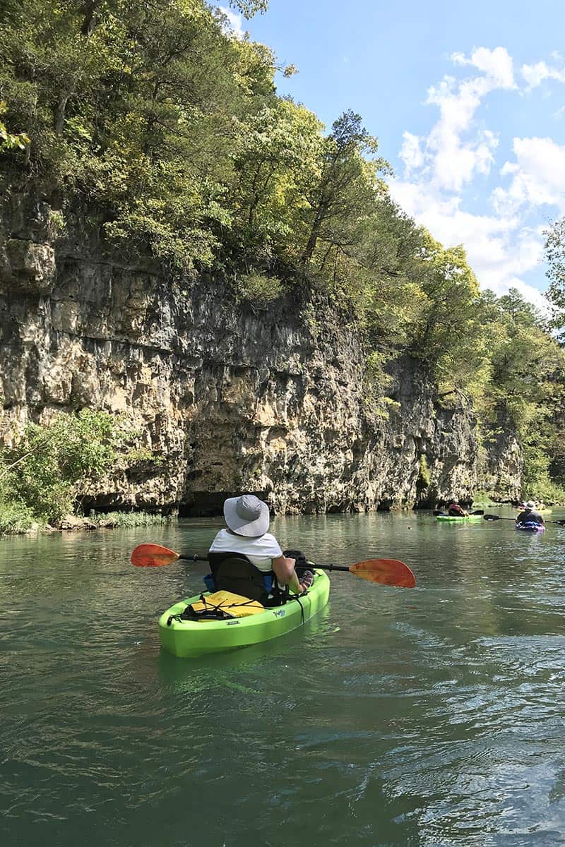
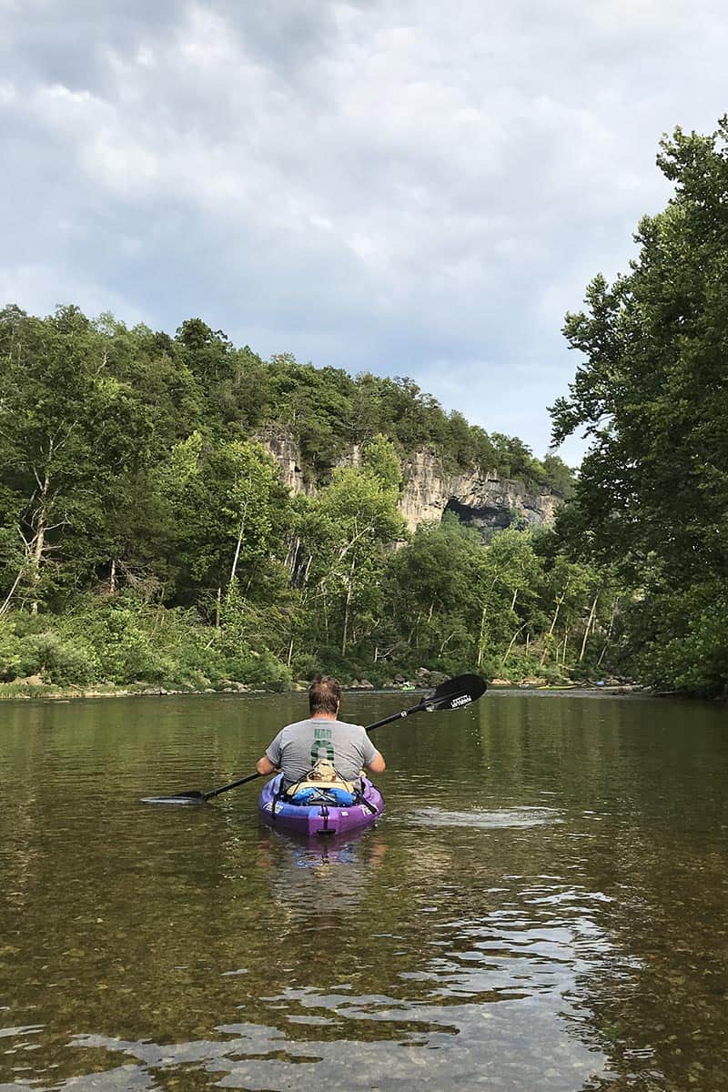
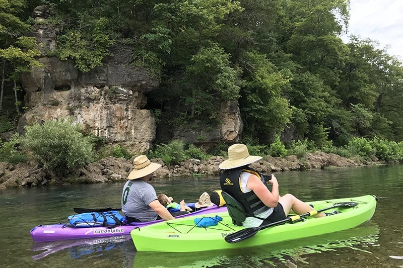
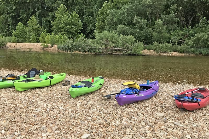
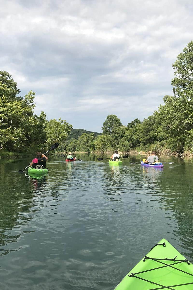
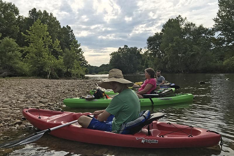
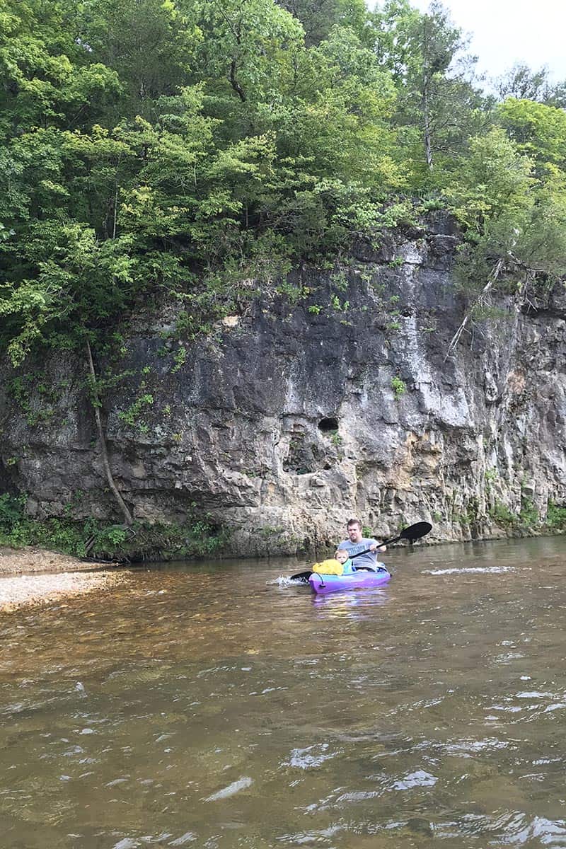
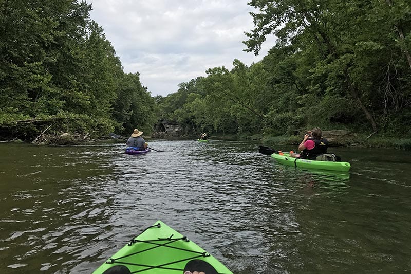
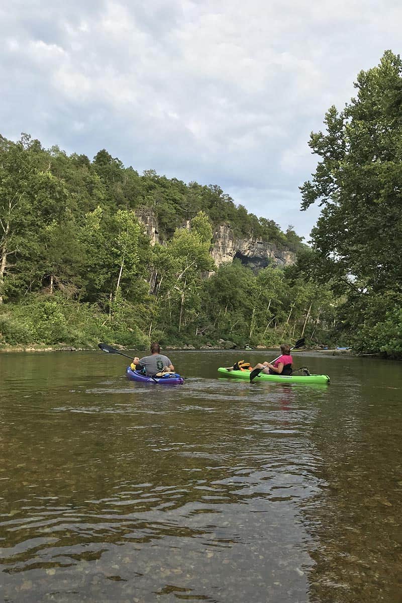
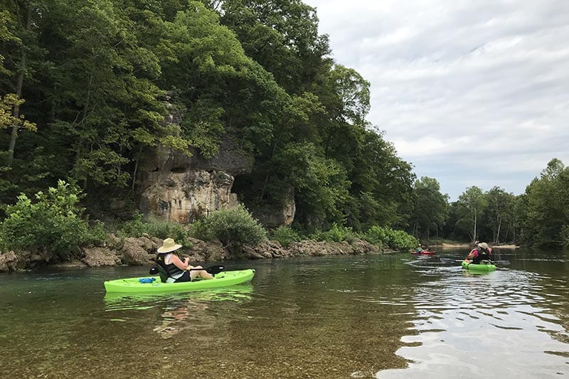
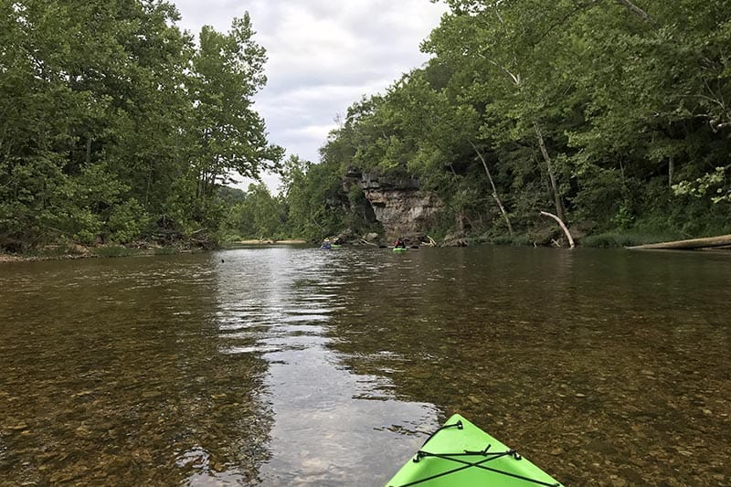
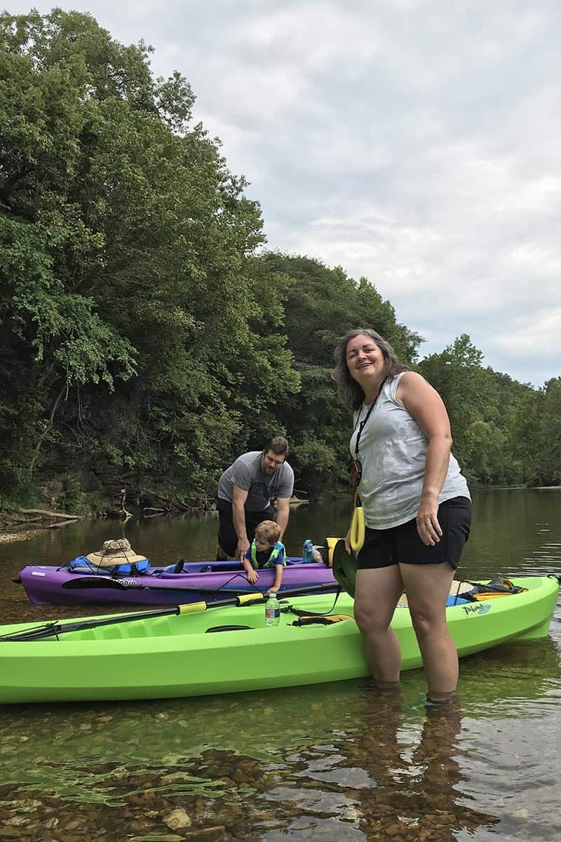
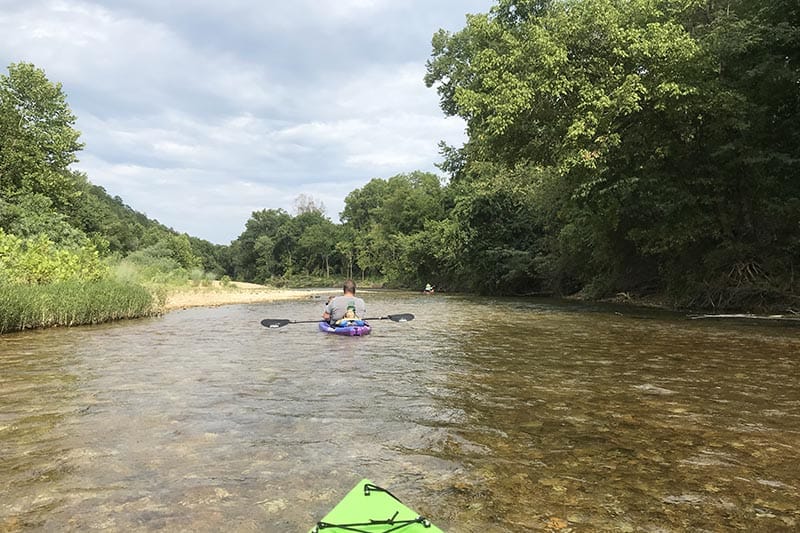
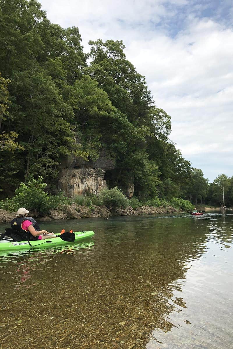
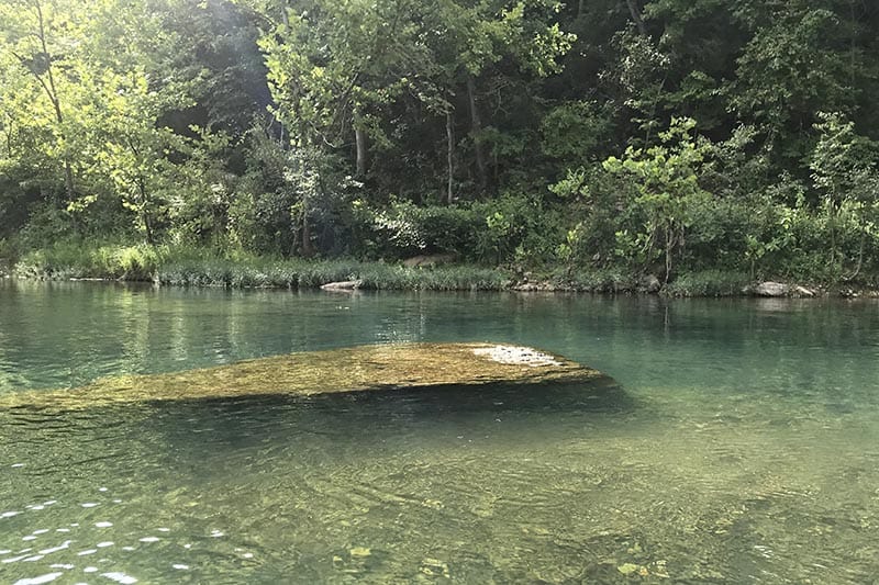
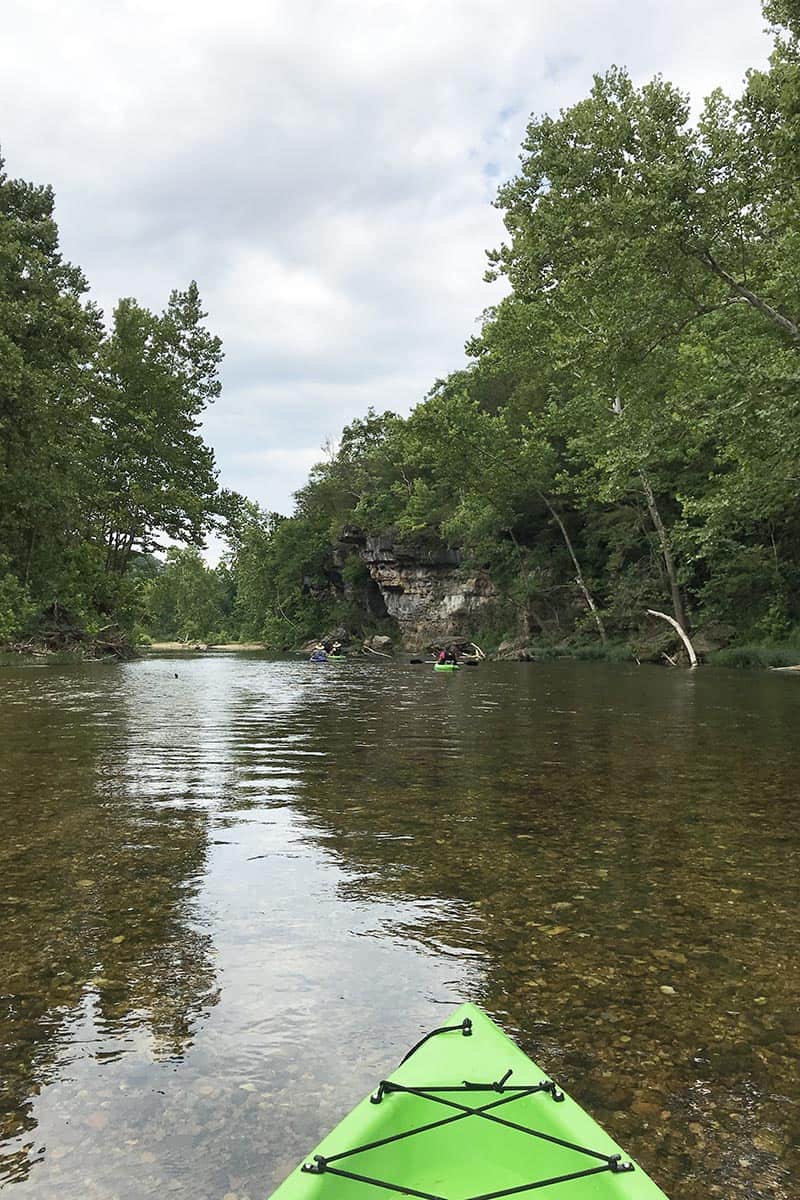
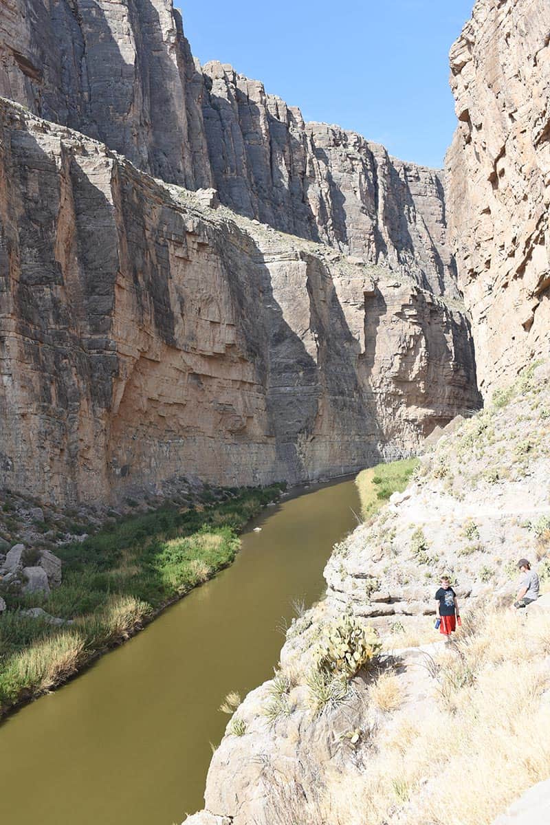
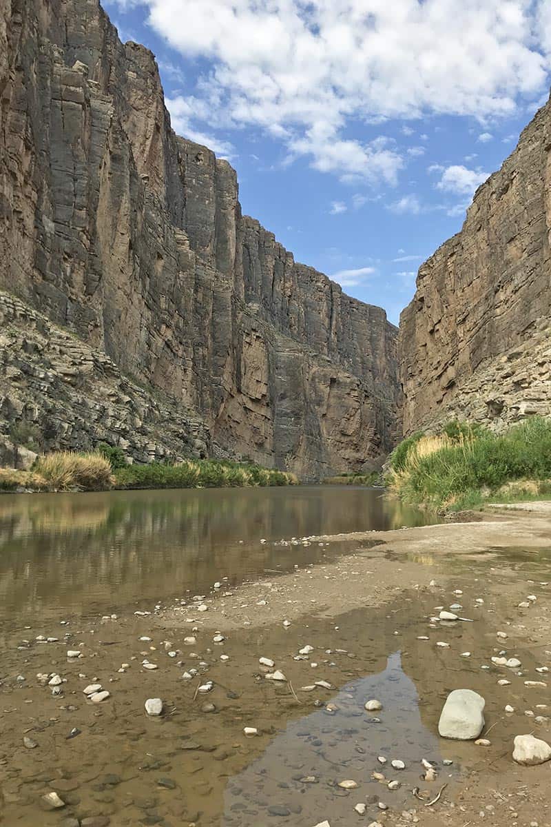
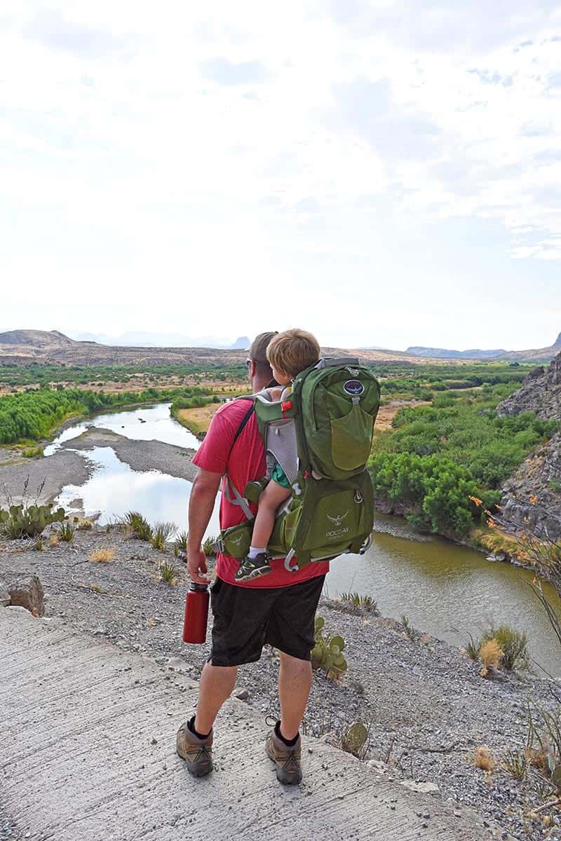
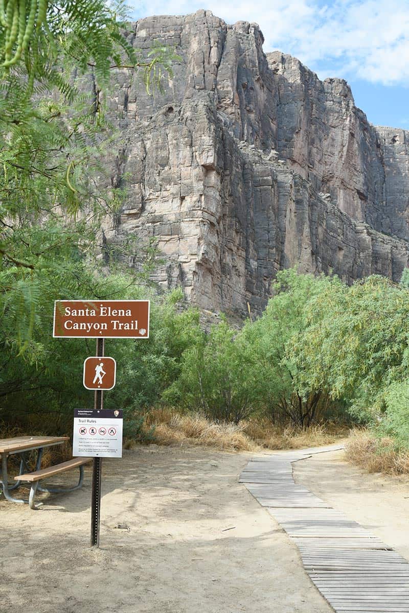
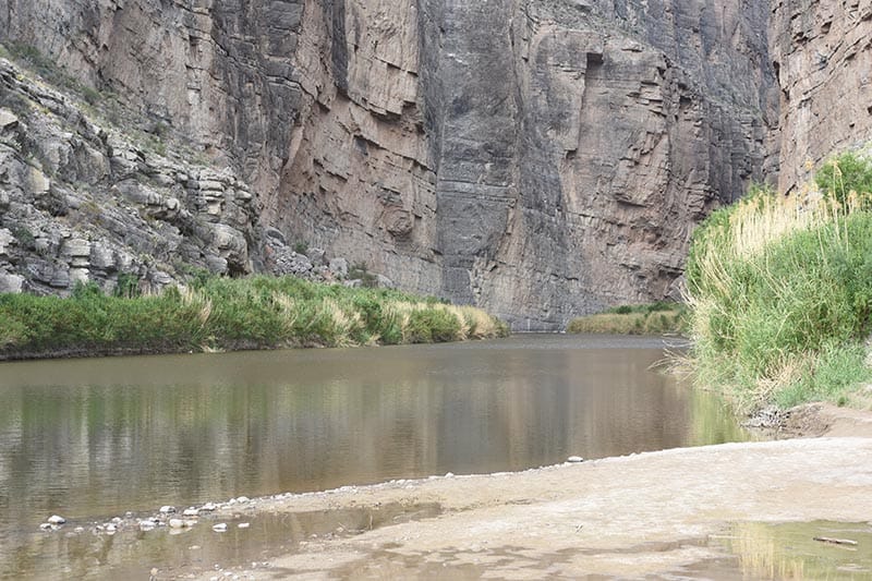
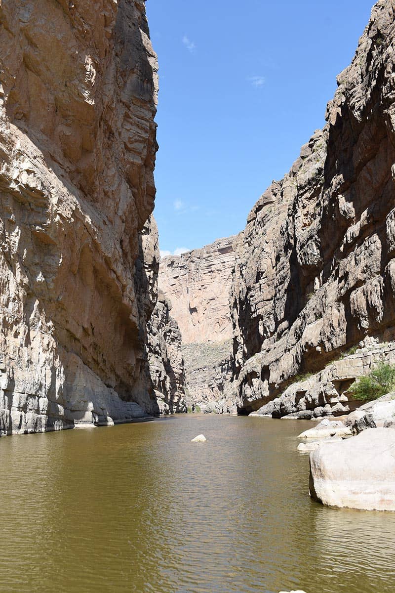
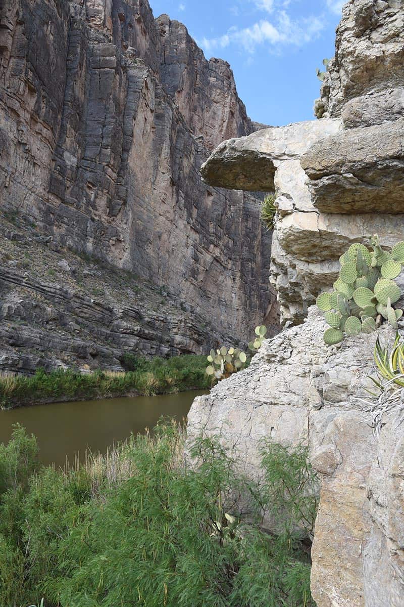
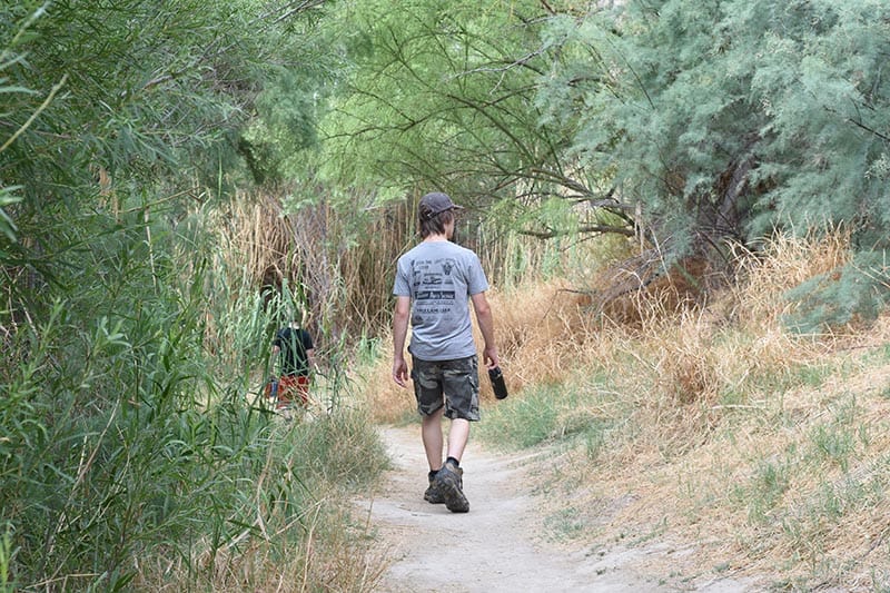
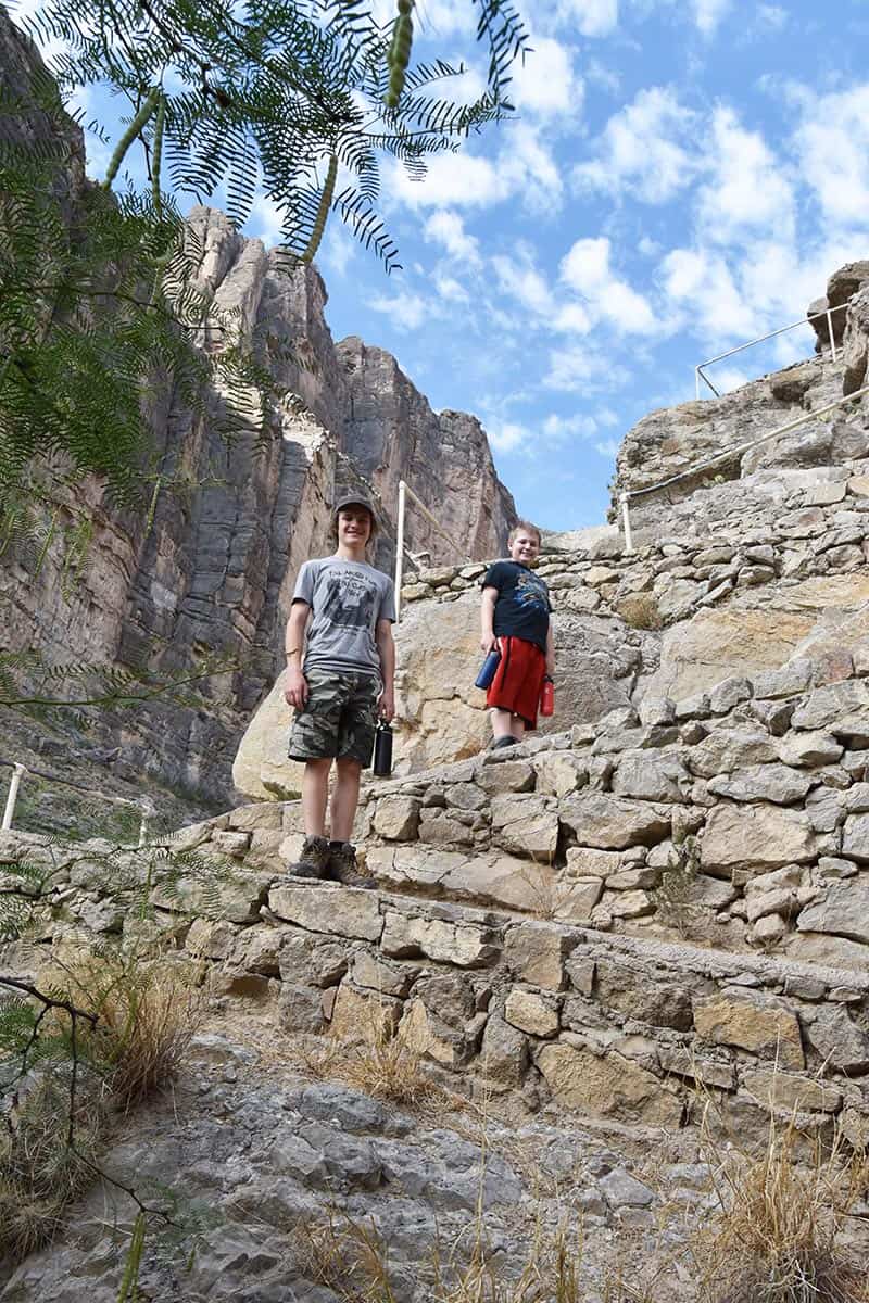
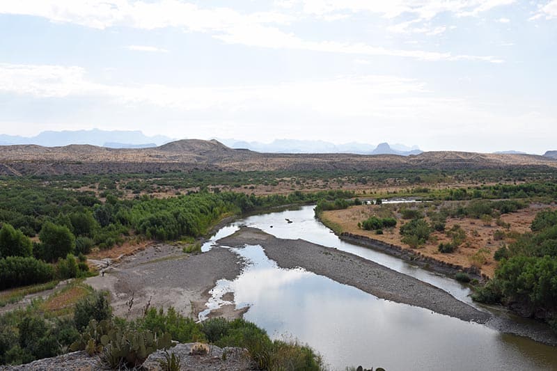
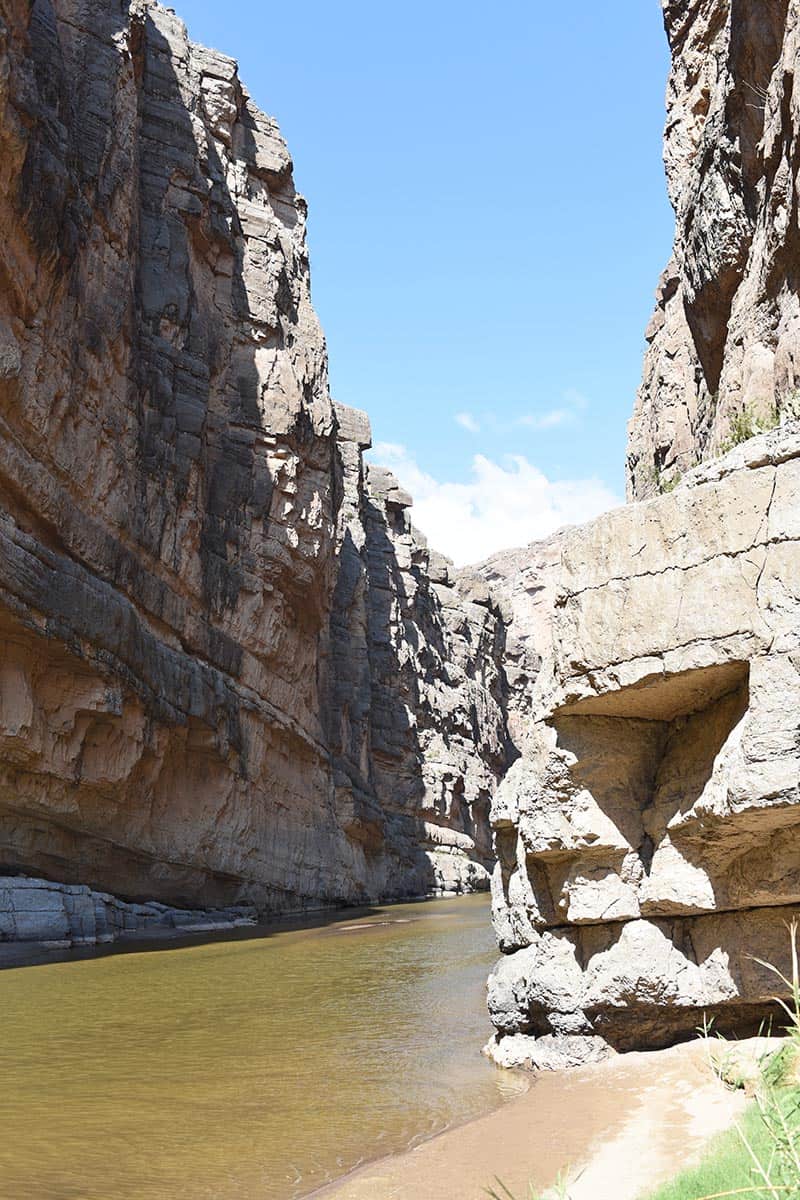
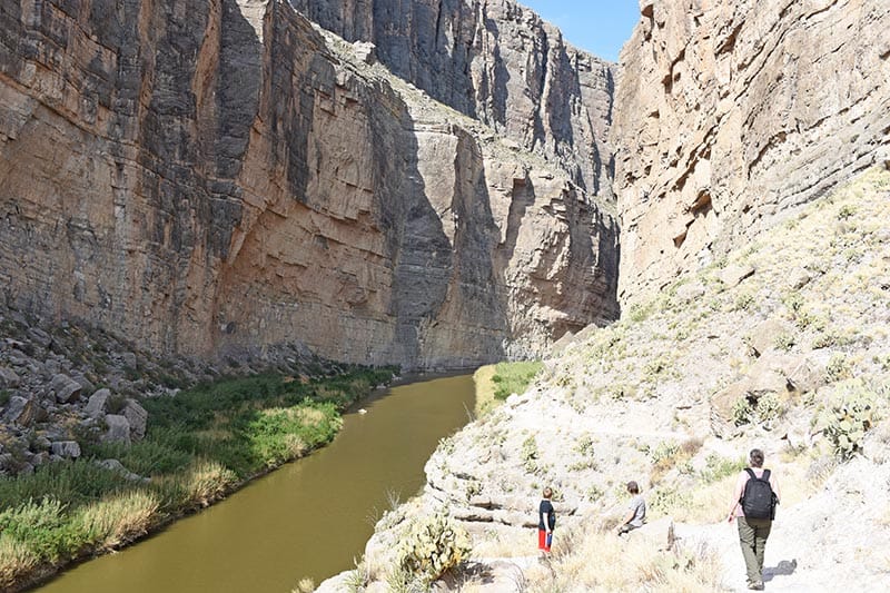
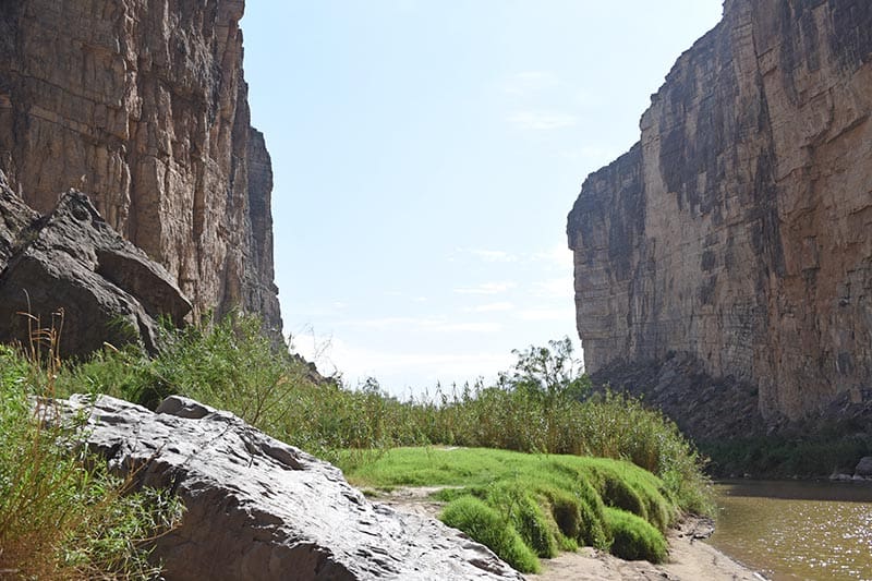
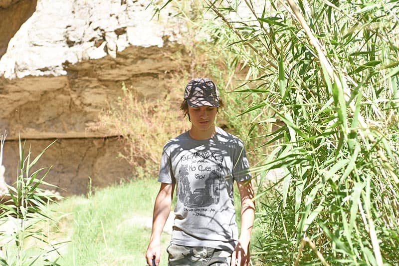
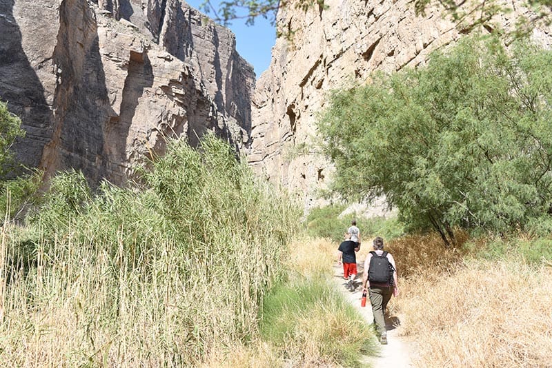
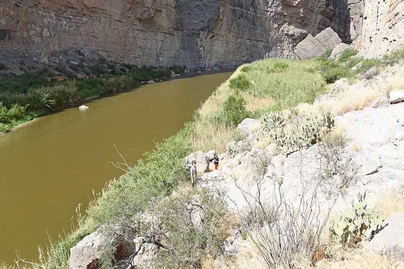
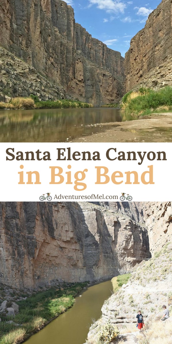
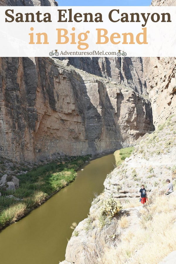
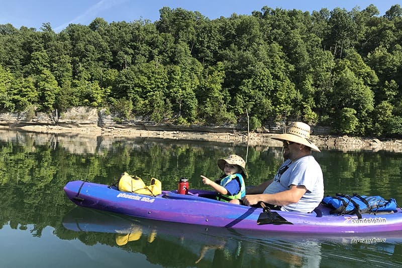
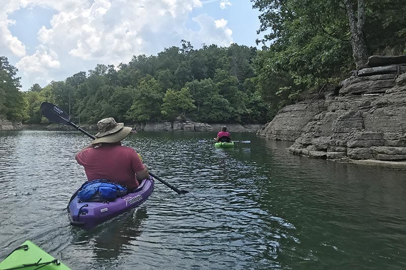
[wprm-recipe-roundup-item link=”https://www.nps.gov/thingstodo/romo_emeraldlake.htm” name=”Hike Emerald Lake Trail in Rocky Mountain National Park” summary=”<p>Visit Rocky Mountain National Park in Colorado, and hike Emerald Lake Trail. 3.6 miles roundtrip, it's full of the most breathtaking places you'll ever see, leading through the forest and up the mountain past magical Nymph Lake and Dream Lake.</p><p>And if it happens to be open, you can even drive the back way up the mountains, via Old Fall River Road, and enjoy a little alpine picnic up amongst the snow.</p>” button=”Read More” image=”42188″] [wprm-recipe-roundup-item id=”22542″ name=”Relax at Anchor Inn and Cottages on Sanibel Island” summary=”<p>Sanibel Island has a relaxed, laid back feel, and its beaches aren't quite as crowded as your typical Florida spring break beaches. Collect gobs of seashells, watch the sunset, eat good food, and enjoy the charm and feel of a sunny, laid back coastal town.</p>” button=”Read More”] [wprm-recipe-roundup-item id=”36849″ name=”Visit the Arch in St. Louis, Missouri” summary=”<p>Everything you need to know for your family's visit to the Arch in St. Louis, Missouri, from the tram to the museum, parking information, and more!</p><p>While you're there, explore other <a href=%22https://staging.adventuresofmel.com/things-to-do-in-st-louis-with-kids/%22>things to do in St. Louis</a>, like visiting the Cathedral Basilica, go see the animals at the St. Louis Zoo, visit <a href=%22https://staging.adventuresofmel.com/soulard-market-st-louis-missouri/%22>Soulard Farmer's Market</a>, and eat loads of <a href=%22https://staging.adventuresofmel.com/delicious-st-louis-foods/%22>good St. Louis food</a>, including St. Louis style <a href=%22https://staging.adventuresofmel.com/gooey-butter-cake-recipe-box/%22>gooey butter cake</a>.</p>” button=”Read More”] [wprm-recipe-roundup-item link=”https://www.savvymamalifestyle.com/albany-georgia-travel-guide/” name=”Things to Do in Albany GA: 11 Best Family-Friendly Destinations” summary=”<p>Albany, Georgia is a family-friendly adventure driven destination. The tea is sweeter and outdoor activities are abundant. Plus, Albany has several kid-focused museum options.</p>” button=”Read More” image=”42192″ credit=”savvymamalifestyle.com”] [wprm-recipe-roundup-item id=”34973″ name=”Backcountry Camping in Big Bend National Park” summary=”<p>A beautiful, rugged, and unforgiving place, Big Bend is full of adventure with some of the best camping known to man (or woman). We've got loads of tips for backcountry or dispersed camping in Big Bend National Park, including where to stay for the best views.</p><p>And while you're there, don't miss out on <a href=%22https://staging.adventuresofmel.com/hiking-santa-elena-canyon-big-bend-national-park/%22>hiking Santa Elena Canyon</a>. You'll cross Terlingua Creek and hike up through the actual canyon, all along the Rio Grande River, with stunning views of Big Bend National Park!</p>” button=”Read More”] [wprm-recipe-roundup-item link=”https://www.nps.gov/bibe/planyourvisit/visiting-boquillas.htm” name=”Cross the Rio Grande River and Visit Boquillas, Mexico” summary=”<p>Crossing the Rio Grande River to the Mexican village of Boquillas, Mexico, from Big Bend National Park, created amazing memories my family will never forget. What it's like to row across the Rio Grande, catch a ride into town on a burro, and enjoy an afternoon in old Mexico.</p>” button=”Read More” image=”42198″] [wprm-recipe-roundup-item link=”https://thegoodheartedwoman.com/orcas-island-may-relaxing-vacation-spot-pacific-nw/” name=”Orcas Island: The Most Relaxing Vacation Spot in the Pacific NW” summary=”<p>Orcas Island, the largest of the San Juan Islands, is located just over an hour by ferry off the northern coast of Washington State. An unassuming paradise, it is quite possibly the most relaxing vacation spot in the Pacific Northwest.</p>” button=”Read More” image=”42200″ credit=”thegoodheartedwoman.com”] [wprm-recipe-roundup-item id=”25996″ name=”12 Scenic Roads (and off the Beaten Path National Parks) in Colorado to Visit with Your Kids” summary=”<p>If you've ever been to Colorado, you know how beautiful it truly is. Our last trip to Colorado, with no plans and every road an adventure, inspired this collection of roads, by-ways, and 4×4 trails in that beautiful state we love so much. And while it may not be a comprehensive list, these are a few of the scenic roads in Colorado that we've discovered, taken, and enjoyed so far.</p><p>Along the way, you'll also discover off the beaten path national parks you can visit with your kids, to make it a great spring break road trip. They include Great Sand Dunes National Park, Black Canyon of the Gunnison National Park, and Mesa Verde National Park. While these parks aren't as widely talked about, they offer so much incredible beauty, history, and adventure. As you make travel plans with your family, don't forget about these parks.</p><p>They're well worth adding to your spring break travel itinerary. America the Beautiful!</p>” button=”Read More”] [wprm-recipe-roundup-item id=”37250″ summary=”<p>Camping at Petit Jean State Park is a beautiful way to enjoy this Arkansas state park. With both open and more tucked in campsites, there's something for every outdoor enthusiast.</p>” button=”Read More”] [wprm-recipe-roundup-item id=”37475″ summary=”<p>Cedar Falls Trail is a strenuous hike that ends with a waterfall in Petit Jean State Park in Arkansas. What it's really like to hike this beautiful Arkansas trail.</p><p>And while you're visiting Petit Jean, take advantage of other gorgeous hiking trails, like <a href=%22https://staging.adventuresofmel.com/hiking-bear-cave-trail-in-petit-jean-state-park/%22>Bear Cave Trail</a> and <a href=%22https://staging.adventuresofmel.com/seven-hollows-trail-to-natural-bridge-in-petit-jean/%22>Seven Hollows Trail</a>.</p>” button=”Read More”] [wprm-recipe-roundup-item link=”https://julieblanner.com/things-to-do-in-branson-with-kids/” name=”Things to Do in Branson MO” summary=”<p>Branson is a family friendly destination filled to the brim with fun things to do! There are so many Branson Attractions that you’ll never find yourself bored whether you spend a day or a week!</p>” button=”Read More” image=”42206″ credit=”julieblanner.com”] [wprm-recipe-roundup-item link=”https://www.nps.gov/saan/index.htm” name=”San Antonio Missions National Historical Park” summary=”<p>Mission Concepción, one of the Missions along the San Antonio River, still stands in all of its regal beauty in San Antonio Missions National Historical Park in Texas.</p><p>If you're planning to visit San Antonio, I definitely recommend getting trolley tickets, so you can visit other landmarks like Mission San José and Mission Concepcion, walk around the King William Historic District, and eat delicious food at The Guenther House.</p>” button=”Read More” image=”62475″] [wprm-recipe-roundup-item id=”23945″ image=”23974″ summary=”<p>While you may need 4-wheel drive if there's snow on the ground, this Colorado chalet is a wonderfully quiet place to spend some time relaxing and reflecting together. Just the peace and quiet is a vacation in and of itself.</p><p>However, if you do crave activity, it's in the perfect location with all sorts of outdoor activities, the mountain town of Nederland nearby, Rocky Mountain National Park a short drive away, and even a ski lodge nearby for those who love to ski.</p>” button=”Read More”] [wprm-recipe-roundup-item link=”https://www.nps.gov/pais/index.htm” name=”Hit the Beach at Padre Island National Seashore” summary=”<p>The Texas Gulf Coast is just brimming with great beaches, including Padre Island National Seashore. With beautiful blue-green water and white-capped waves, this beach destination is a place the whole family will enjoy.</p><p>Padre Island National Seashore has 70 miles of undeveloped coastline, 60 miles of which you can drive on, though conditions do change. You'll also find a prairie-like landscape, along with sand dunes and lots of coastal wildlife.</p>” button=”Read More” image=”42207″] [wprm-recipe-roundup-item link=”https://justisafourletterword.com/things-to-do-in-st-augustine-with-kids/” name=”7 Things to Do in St. Augustine with Kids” summary=”<p>If you’re looking for a great family vacation on the Florida coast, check out these fun things to do in St. Augustine with kids. It's one spring break family vacation where everyone will have a great time and won't hesitate to visit again!</p>” button=”Read More” image=”42210″ credit=”justisafourletterword.com”] [wprm-recipe-roundup-item link=”https://public.nrao.edu/visit/very-large-array/” name=”Very Large Array in New Mexico with Kids” summary=”<p>Space enthusiasts and astronomy buffs will love this spring break road trip idea. The Very Large Array Radio Telescope Facility in New Mexico is a very exciting and mesmerizing place to visit with kids.</p>” button=”Read More” image=”42203″] [wprm-recipe-roundup-item link=”https://hotsprings.org/” name=”Places to Visit in Hot Springs, Arkansas” summary=”<p>Hot Springs, Arkansas, is definitely a family-friendly spring break vacation destination. And it's in a beautiful area of Arkansas, as well!</p><p>With places like Garvan Woodland Gardens, the Mid-America Science Museum, Hot Springs National Park, McClard's Bar-B-Q, the Purple Cow Restaurant, and Superior Bathhouse Brewery and Distillery, there's something for every member of the family to enjoy.</p>” button=”Read More” image=”42209″] [wprm-recipe-roundup-item link=”https://www.offtheeatenpathblog.com/outer-banks-travel-guide/” name=”The Ultimate Outer Banks Travel Guide: Plan Your Next Beach Vacation” summary=”<p>Off the Eaten Path’s Outer Banks Travel Guide highlights what to do, where to stay, what to eat, and so much more about a family favorite place, North Carolina’s Outer Banks.</p>” button=”Read More” image=”42214″ credit=”www.offtheeatenpathblog.com”] [wprm-recipe-roundup-item id=”17196″ summary=”<p>Cosby Campground in Great Smoky Mountains National Park in Tennessee is one of the best. Sites tucked in the trees allow for quiet, peaceful camping with a secluded feel.</p><p>And while you're visiting this gem of a national park, be sure to explore places like the <a href=%22https://staging.adventuresofmel.com/hiking-to-laurel-falls-in-great-smoky-mountains-national-park/%22>Laurel Falls Hiking Trail</a> and Mingus Mill.</p>” button=”Read More”] [wprm-recipe-roundup-item link=”https://sanibel-captiva.org/” name=”Enjoy Beach Day Bliss on Captiva Island” summary=”<p>Captiva Island is a blissful island just west of Fort Myers, Florida. With water a teal blue-green color, abundant coastal and ocean wildlife, and piles of seashells everywhere you look, it's definitely one of my number 1 choices when considering where to go for spring break.</p>” button=”Read More” image=”42215″] [wprm-recipe-roundup-item link=”https://www.exploremorecleanless.com/6-days-new-mexico-road-trip-with-kids/” name=”6 Days New Mexico Road Trip with Kids” summary=”<p>A week driving around Central New Mexico takes you to see sand dunes, lava caves, a slot canyon, petroglyphs, and the indescribable Meow Wolf art installation! Spring is a great time to visit; check out this road trip itinerary!</p>” button=”Read More” image=”42217″ credit=”www.exploremorecleanless.com”] [wprm-recipe-roundup-item id=”37348″ summary=”<p>What it's really like to hike Hawksbill Crag, or Whitaker Point Trail, in Arkansas. Both autumn and spring are beautiful times to hike this gorgeous, beautiful trail in the Ozark National Forest near the Buffalo River.</p>” button=”Read More”]I’m so ready for a good spring break vacation. How ’bout you?
Love a Li’l Family Adventure?
I always appreciate your feedback. Be sure to leave a comment, and follow me on Pinterest, Facebook, Instagram, and YouTube. You can subscribe to my email list too.